Imagico.de
Local satellite image mosaics
The satellite image products featured here are local images assembled in a largely manual assembly process. Some of the older images have now been superseeded by more recent mosaics that can be found in the satellite image products.
In addition to the images offered here some local image assemblies from specific dates can also be found in the general image catalog. Both these and the images here can also be produced on demand according to customer specifications. Contact me for details regarding this.
The Sentinel-2 mosaic of New Zealand
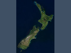
The Sentinel-2 mosaic of New Zealand is a cloud free mosaic created from Sentinel-2 data, it shows the islands of New Zealand based on data from 2015 to 2017 in 10m resolution.
The South Georgia mosaics
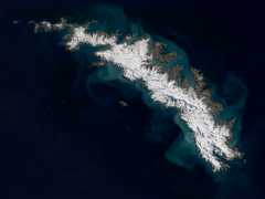
For South Georgia you can get two different mosaics:
- one primarily based on Landsat 8 images in 15m resolution - see here for details.
- the other primarily based on Sentinel-2 images in 10m resolution - see here for details.
The Sentinel-2 mosaic of the Falkland Islands
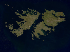
The Sentinel-2 mosaic of the Falkland Islands shows the Falkland Islands in the Southwest Atlantik Ocean based on Sentinel-2 data from 2015 to 2018 in 10m resolution.
Landsat/Sentinel-2 mosaics of the other Subantarctic Islands
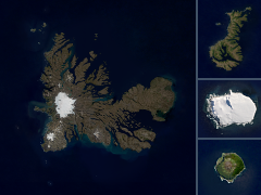
I offer also mosaics of the other Subantarctic Islands based on Sentinel-2 and Landsat data
Sentinel-2 mosaics of the Balleny Islands
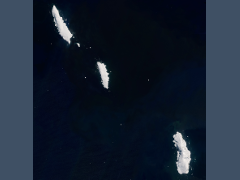
The Sentinel-2 mosaic of the Balleny Islands shows the Balleny Islands off the Antarctic coast based on recent Sentinel-2 summer images.
The Landsat mosaic of Germany and the Alps
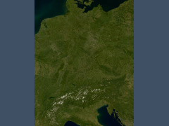
The Landsat mosaic of Germany and the Alps is an up-to-date cloud free image assembly in 15m resolution covering Germany and the Alps and representing the earth surface color.
The Landsat mosaic of Greenland
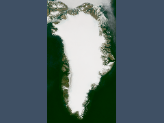
The Landsat mosaic of Greenland shows Greenland and the adjacent parts of northern Canada free of clouds in 15m resolution based on up-to-date summer images.
The Landsat mosaic of Scandinavia
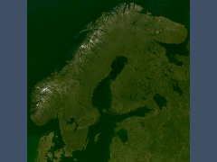
The Landsat mosaic of Scandinavia shows Scandinavia, the Baltic Sea and surrounding areas free of clouds in 15m resolution based on up-to-date summer images in realistic colors.
The Landsat mosaic of the Antarctic peninsula
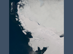
The Landsat mosaic of the Antarctic peninsula depicts the Antarctic peninsula in 15m resolution based on up-to-date images and free of clouds.
The Sentinel-2 mosaic of southern Africa
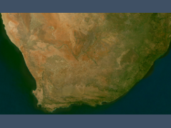
The Sentinel-2 mosaic of southern Africa is my first cloud free mosaic created from Sentinel-2 data, it shows the southmost part of Africa based on data from the 2015/2016 summer in 10m resolution.
The Landsat mosaic of Cuba
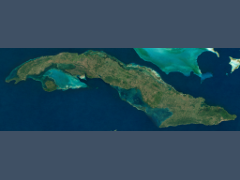
The Landsat mosaic of Cuba shows the island of Cuba in 15m resolution based on up-to-date Landsat images without clouds.
The Landsat mosaic of Iceland
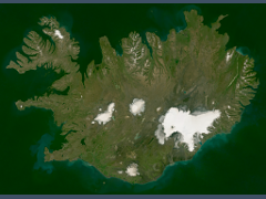
The Landsat mosaic of Iceland shows the island of Iceland in 15m resolution based on up-to-date Landsat and Sentinel-2 images without clouds.
The Svalbard mosaics
For Svalbard you can get two different mosaics:
- one primarily based on Landsat 8 images in 15m resolution - see here for details.
- the other primarily based on Sentinel-2 images in 10m resolution - see here for details.
Further local mosaics
Here a few more cloud free Landsat and Sentinel-2 mosaics for select smaller areas.
| mosaic | data source | preview |
|---|---|---|
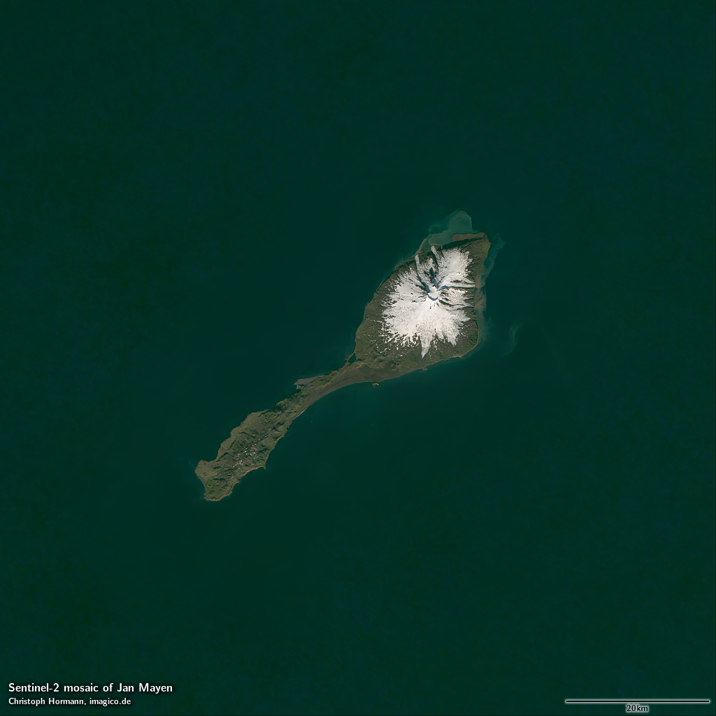
| Jan Mayen | Sentinel-2 | show |
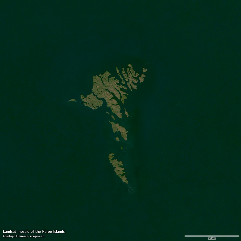
| Faroe Islands | Landsat/Sentinel-2 | show |
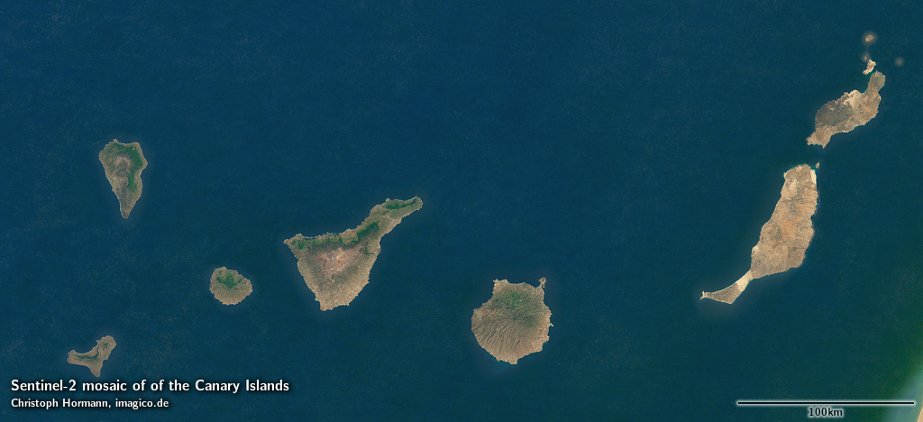
| Canary Islands | Sentinel-2 | show |
| Madeira | Landsat/Sentinel-2 | show |
Blog news:
Todays featured image:
