Imagico.de
Geovisualizations
by Christoph Hormann
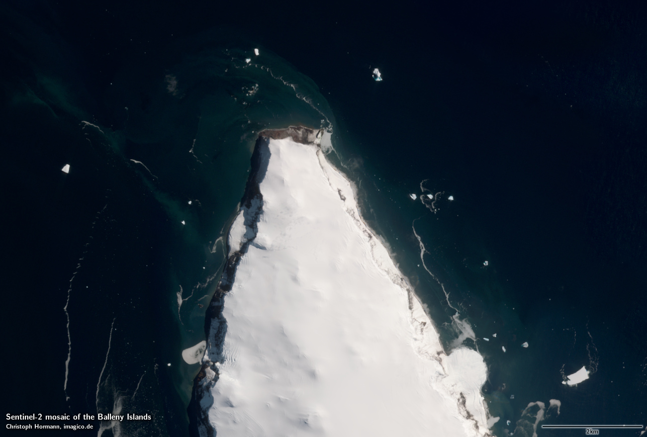
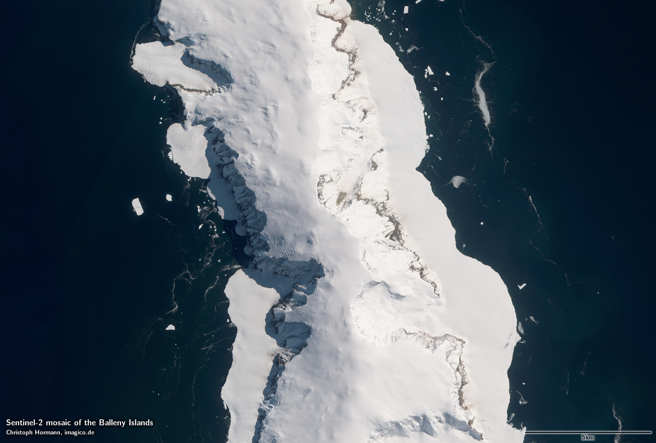
Sentinel-2 mosaic of the Balleny Islands
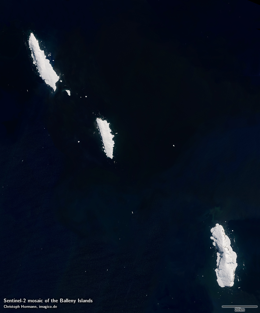
This Sentinel-2 mosaic of the Balleny Islands gives a realistic up-to-date visual color impression of the area as it appears during summer with a minimum of sea ice and snow. Most source data is from between December and March.
This Sentinel-2 mosaic can be considered a higher resolution supplement to the Green Marble and similarly it represents the surface color with compensation for the effects of the atmosphere.
Source data is mostly Copernicus Sentinel-2 imagery from 2016 to 2018 with smaller parts based on Landsat 8 imagery from 2013 to 2018.
Key properties
- Visible color mosaic of Balleny Islands
- 10m base resolution, total size 15000×18000 pixel
- Based primarily on Sentinel-2 imagery from 2016-2018, <10 percent from Landsat 8 2013-2018.
- Shows atmosphere compensated surface color, available either as linear surface reflectance values or tone mapped for direct display
- Assembled in UTM zone 58, can be made available in other projections.
Sample gallery
If you are interested in using this Sentinel-2 mosaic use the form below to describe your needs and i will get back to you.
Sentinel-2 mosaic of the Balleny Islands license inquiry
Blog news:
Mapping of populated places in OpenStreetMap (28 Jun 2026)
FOSSGIS Membership Dues – The End of the Story (23 Jun 2026)
FOSSGIS membership fees – Update #3 (18 Jun 2026)
Holding the line – non-locality in map rendering part 2 (06 Jun 2026)
Todays featured image:

Whole earth in January with sea ice and clouds (Europe)
Whole earth view in northern hemisphere winter with sea ice and clouds, focusing on Europe with the Middle East and North Africa prominently visible. [more]
The most important sections:
Design and Content Copyright 2025 by Christoph Hormann
last updated Fri, 23 May 2025 11:06