Imagico.de
Landsat mosaic of Germany and the Alps
The product described on this page has been superseded by the Musaicum EU-plus.
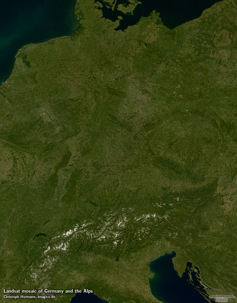
The Landsat mosaic of Germany and the Alps is a cloud free assembly of Landsat imagery processed to represent the visual surface color covering Germany, Switzerland and Austria as well as adjacent countries including Slovenia and Luxembourg, most of the Netherlands and the Czech Republic and parts of Poland, France, Italy, Croatia and Denmark.
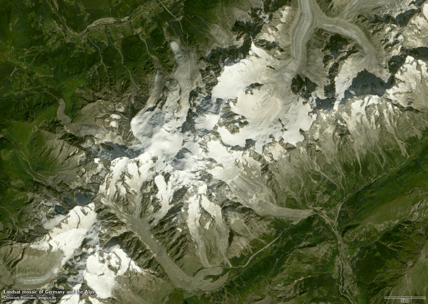
This Landsat mosaic can be considered a higher resolution supplement to the Green Marble and similarly it represents the surface color with compensation for the effects of the atmosphere. Selection of source data and assembly is optimized to get minimum snow cover in the Alps.
Source data is primarily Landsat 8 imagery from 2013 and 2014 with a few areas where this has been supplemented by Landsat 7 imagery from 2011-2014. Less than 1 percent of the image is based on older Landsat 5/7 images.
Key properties
- Cloud free mosaic of Germany and the Alps
- 15m base resolution, total size 65000x83000 pixel
- Based on Landsat imagery, primarily Landsat 8 from 2013 and 2014, ~10 percent from Landsat 7 2011-2014, <1 percent from Landsat 5/7 earlier than 2011
- Ocean color based on Green Marble
- Shows atmosphere compensated surface color, available either as linear surface reflectance values or tone mapped for direct display
- Assembled in UTM zone 32, can be made available in other projections.
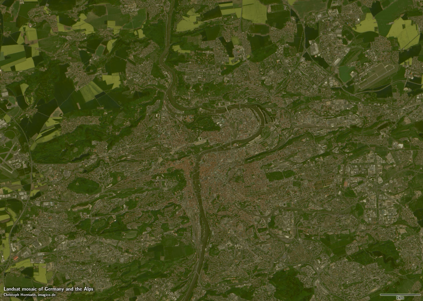
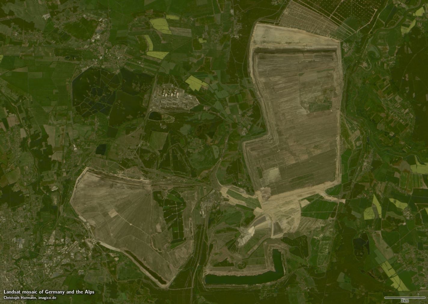
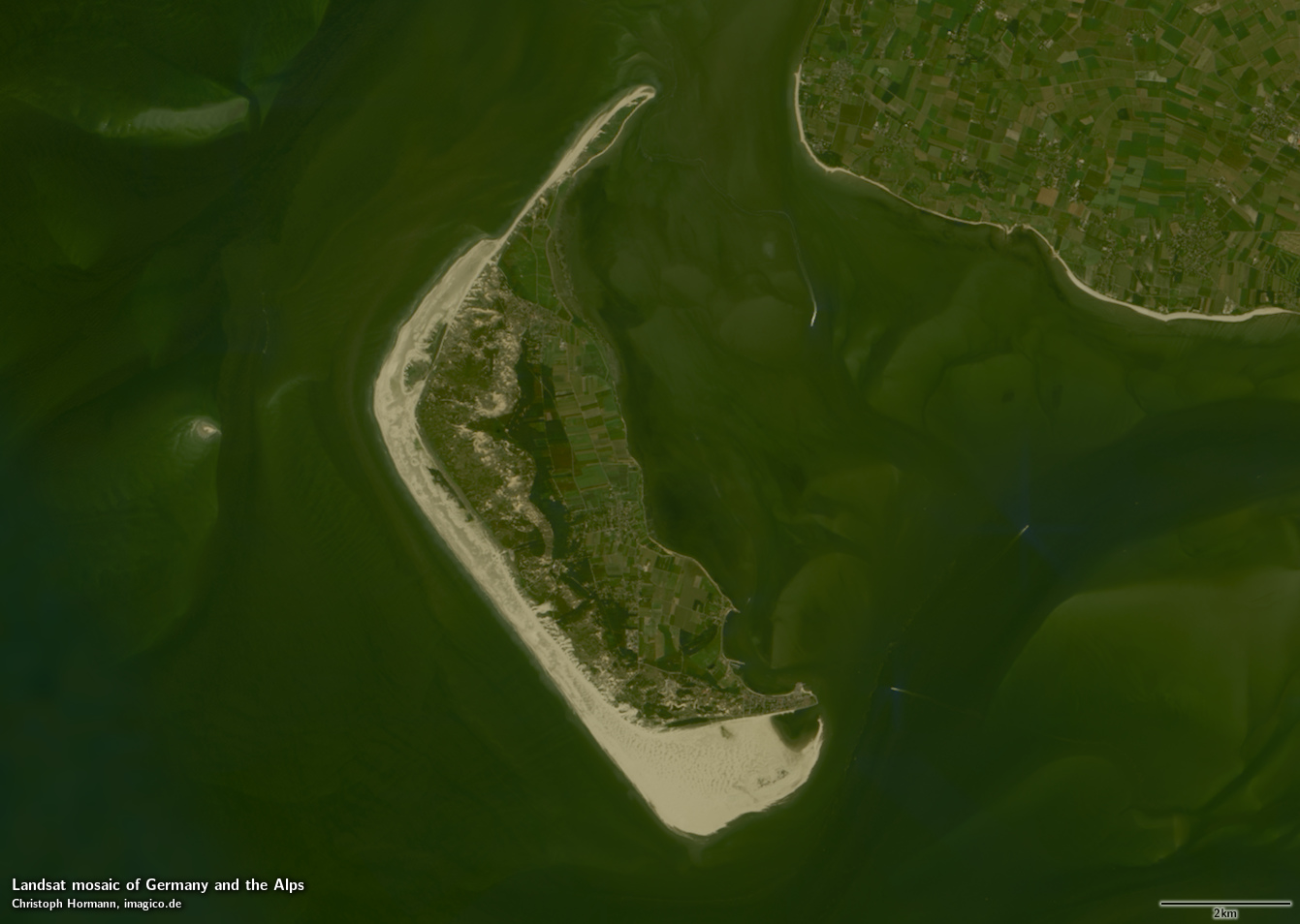
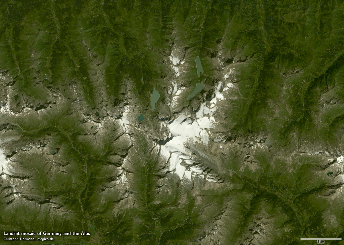
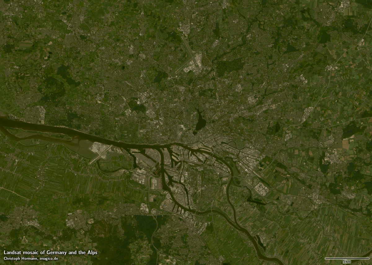
Sample gallery

If you are interested in using this Landsat mosaic use the form below to describe your needs and i will get back to you.
Landsat mosaic of Germany and the Alps license inquiry
Blog news:
Todays featured image:
