Imagico.de
Landsat mosaic of Cuba
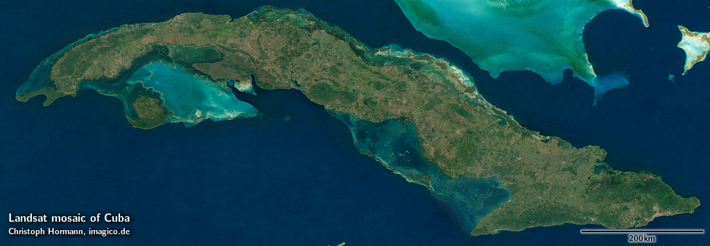
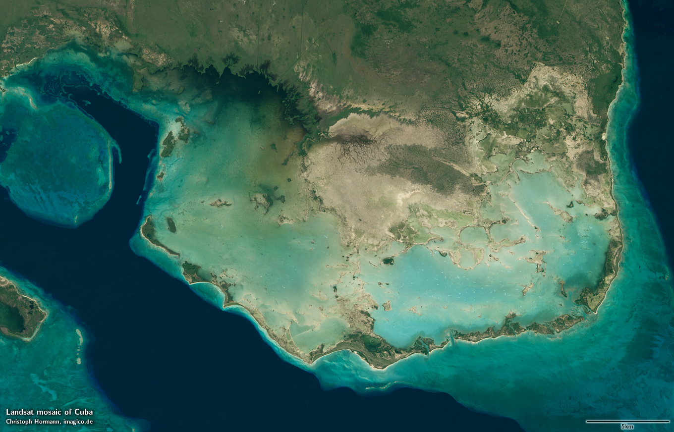
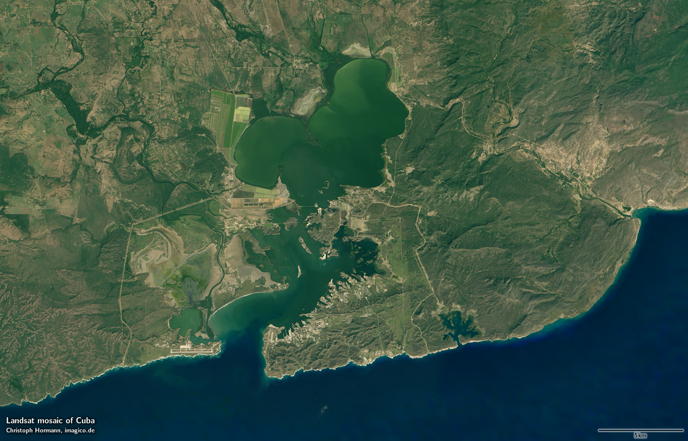
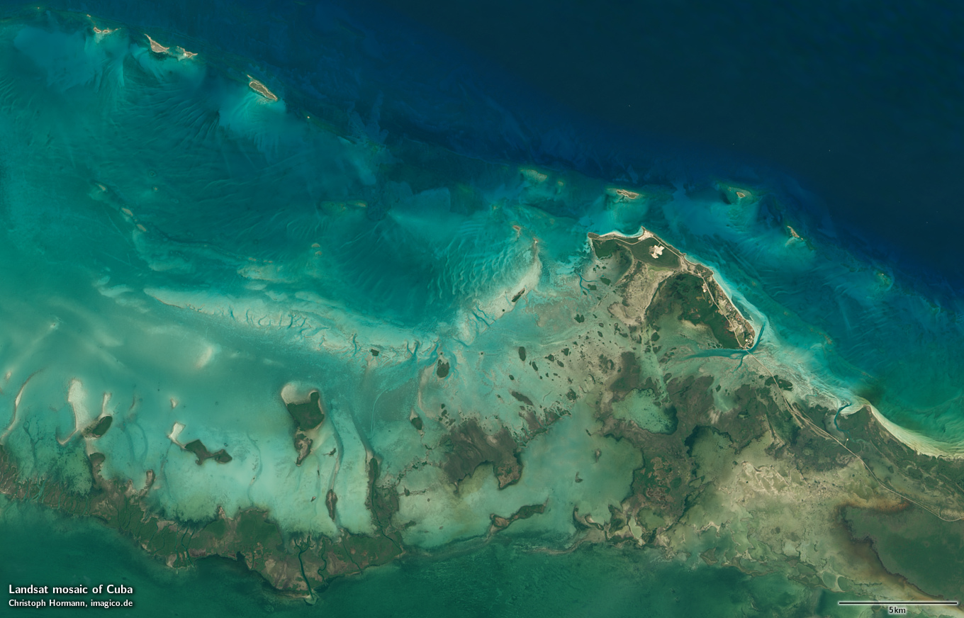
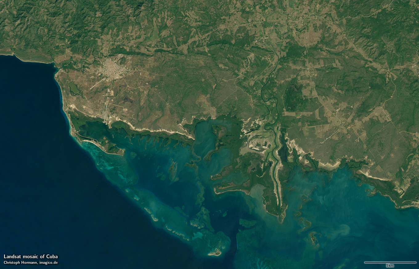
This Landsat mosaic of Cuba shows the island of Cuba in the Gulf of Mexico. The image gives a realistic up-to-date visual color impression of the area with preference on data from the wet season and beginning of the dry season with strong vegetation.
This Landsat mosaic can be considered a higher resolution supplement to the Green Marble and similarly it represents the surface color with compensation for the effects of the atmosphere.
The mosaic features seamless coverage of the ocean using the Green Marble mosaic for areas further from the coast. The high resolution Landsat data only covers Cuba and the smaller islands near it - other areas included in the image, especially the Bahama Banks, are based on Green Marble data.
Source data is mostly Landsat 8 imagery from 2013 to 2016 with only few small areas where this has been supplemented by older Landsat 7/5 imagery.
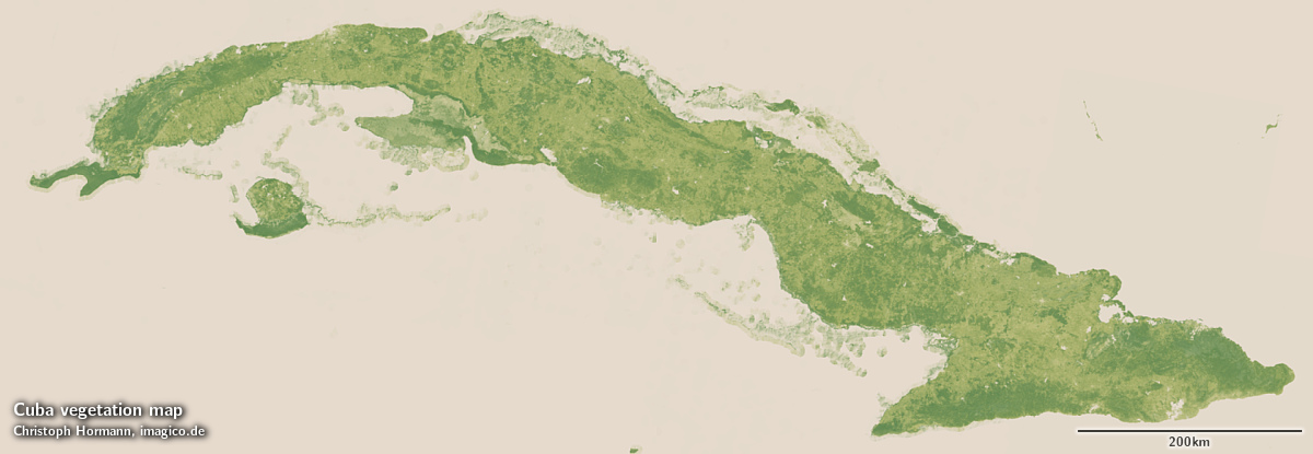
In addition to the visual color mosaic there is also a vegetation data set available based on the same Landsat imagery depicting the maximum amount of vegetation at every point - separated into woody and herbaceous vegetation.
Key properties
- Visible color mosaic of Cuba
- 15m base resolution, total size 78000×27000 pixel (vegetation map: 30m)
- Based on Landsat imagery, primarily Landsat 8 from 2013-2016, ~0.1 percent from older Landsat 5/7
- Ocean color based on Green Marble
- Shows atmosphere compensated surface color, available either as linear surface reflectance values or tone mapped for direct display
- Assembled in UTM zone 17, can be made available in other projections.
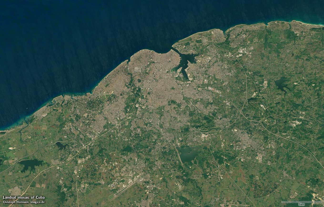
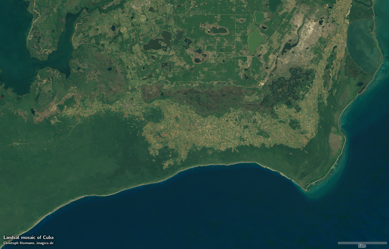
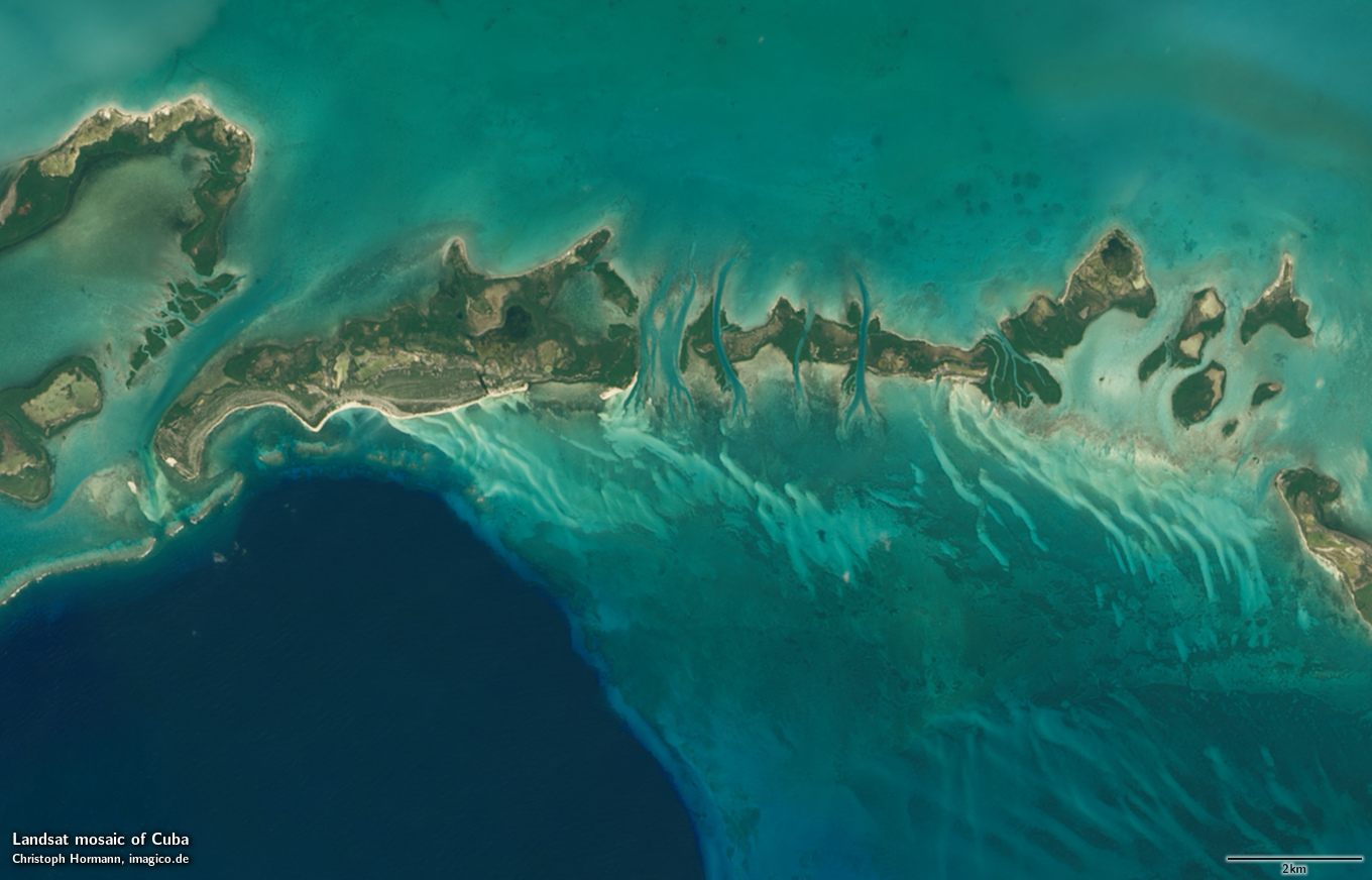
Sample gallery
If you are interested in using this Landsat mosaic use the form below to describe your needs and i will get back to you.
Landsat mosaic of Cuba license inquiry
Blog news:
Todays featured image: