Imagico.de

Geovisualizations
by Christoph Hormann
login english deutsch

The Musaicum East Africa

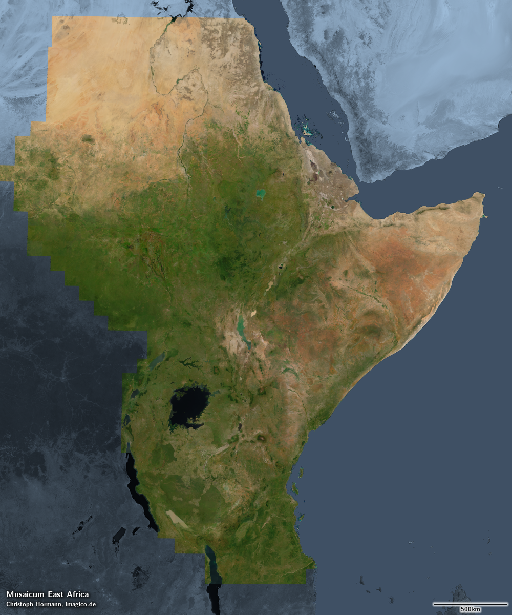
Musaicum East Africa satellite image mosaic

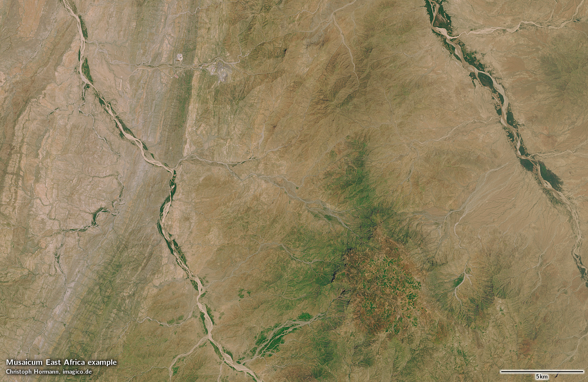
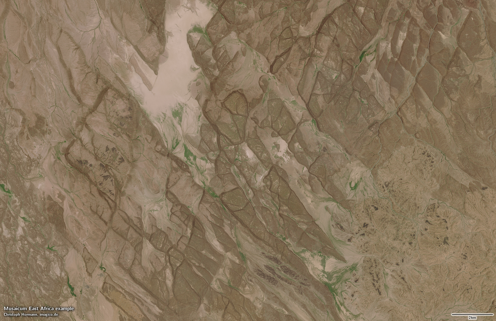
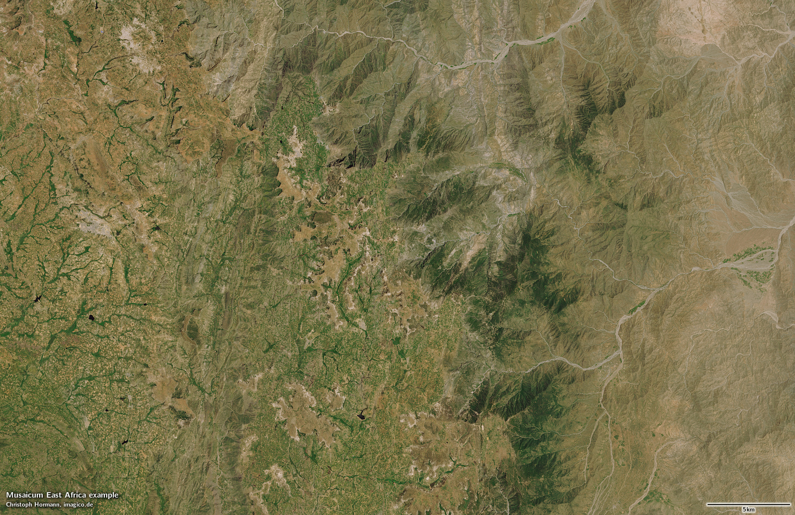
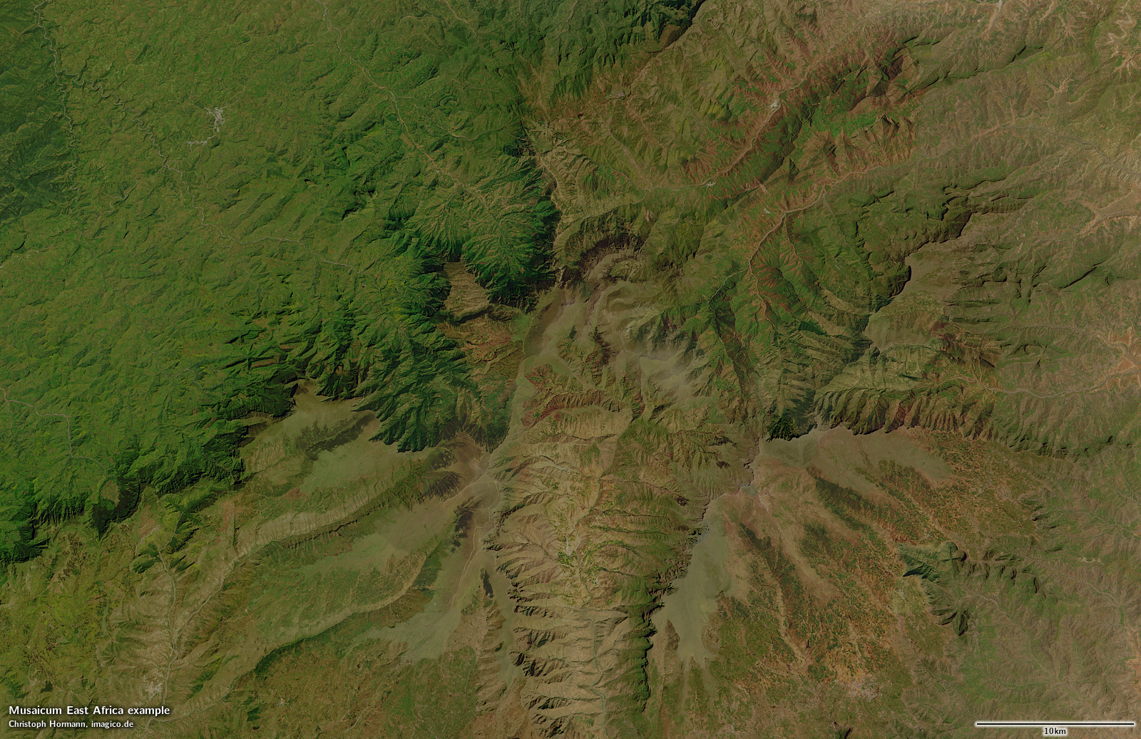
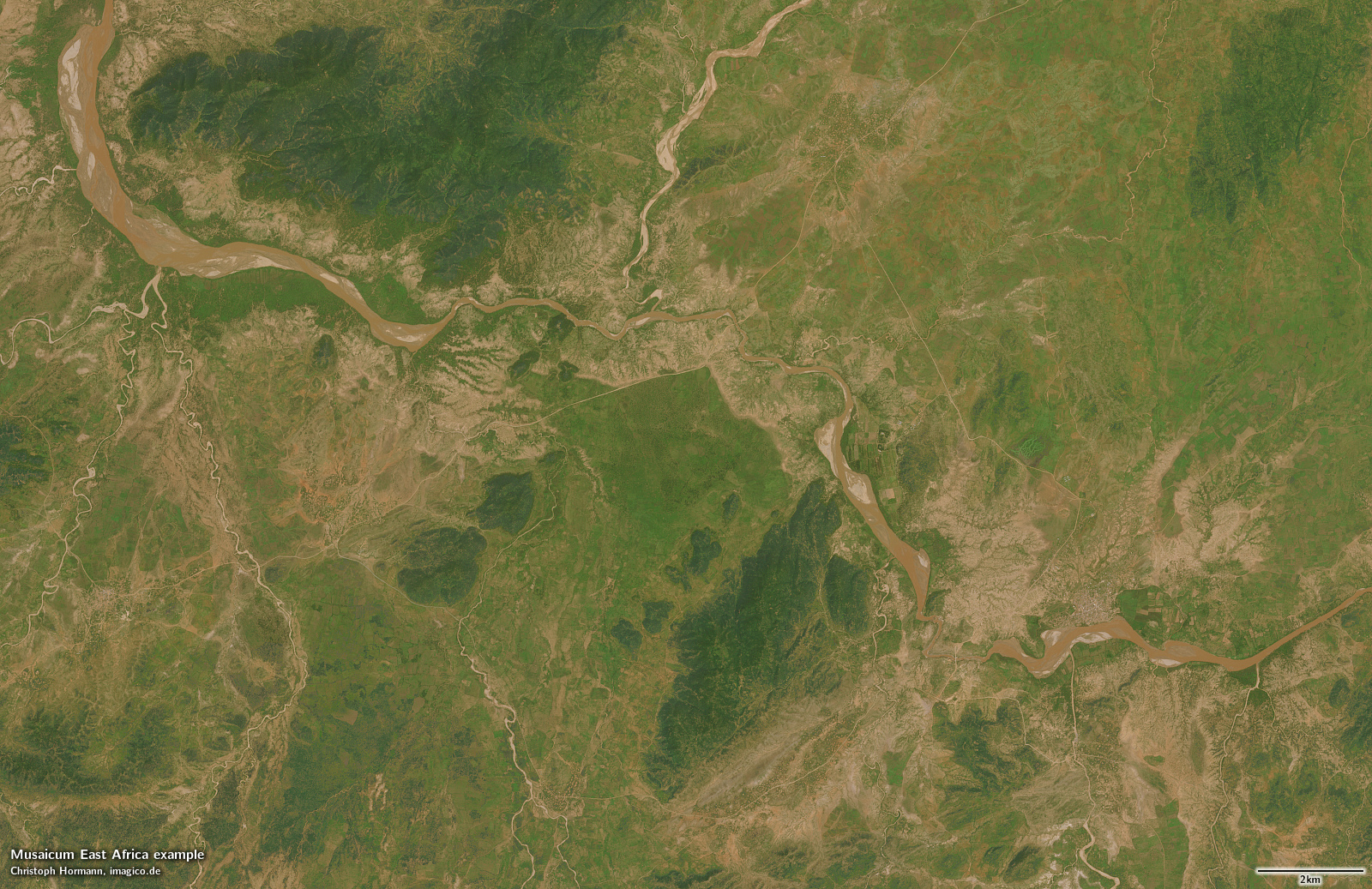
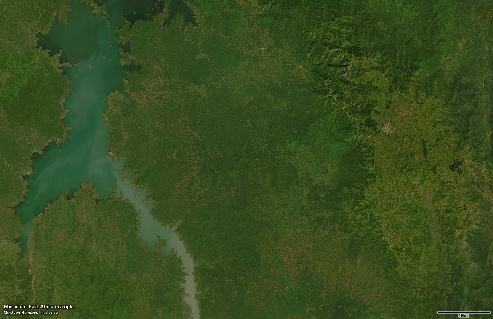
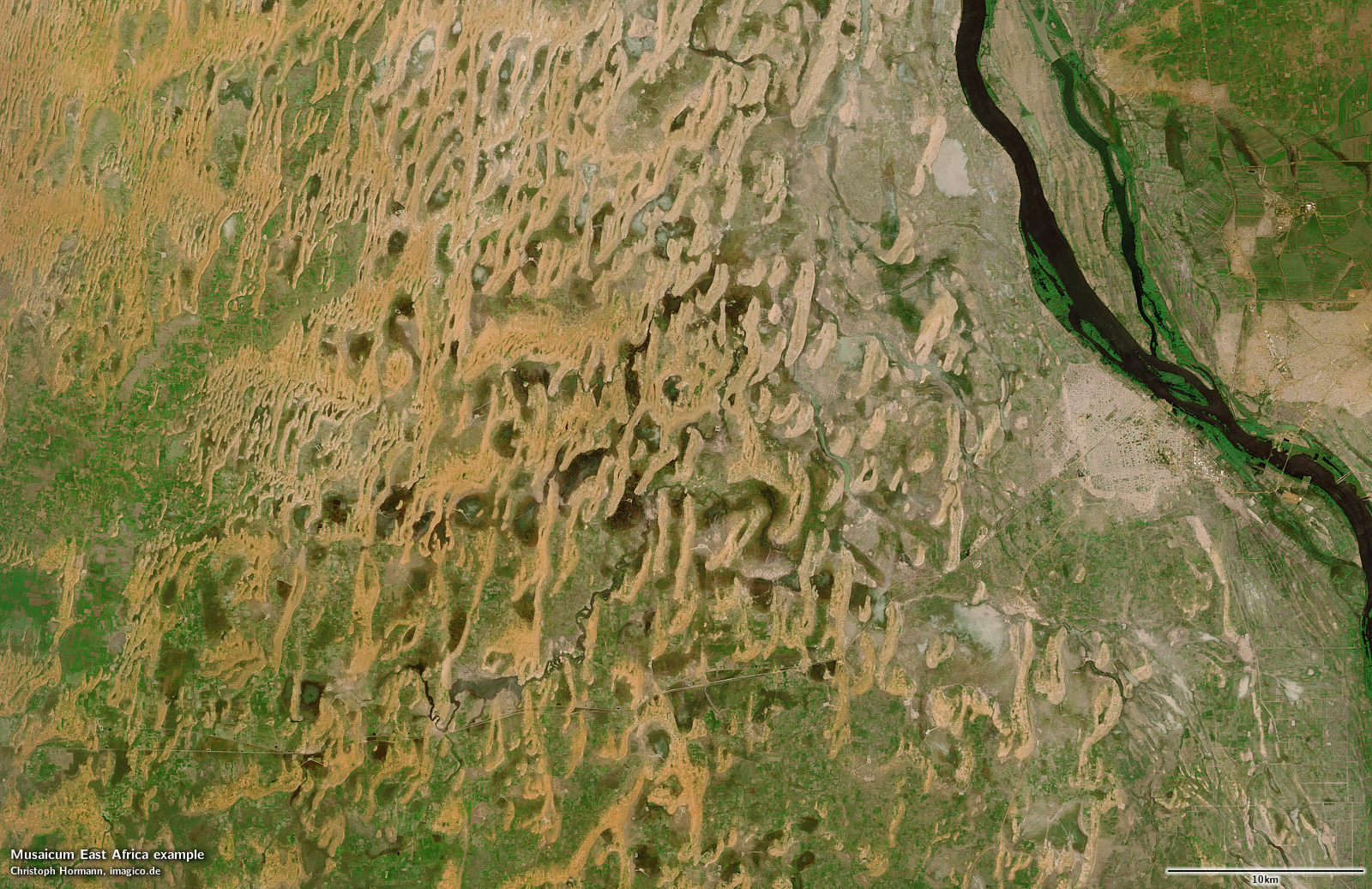
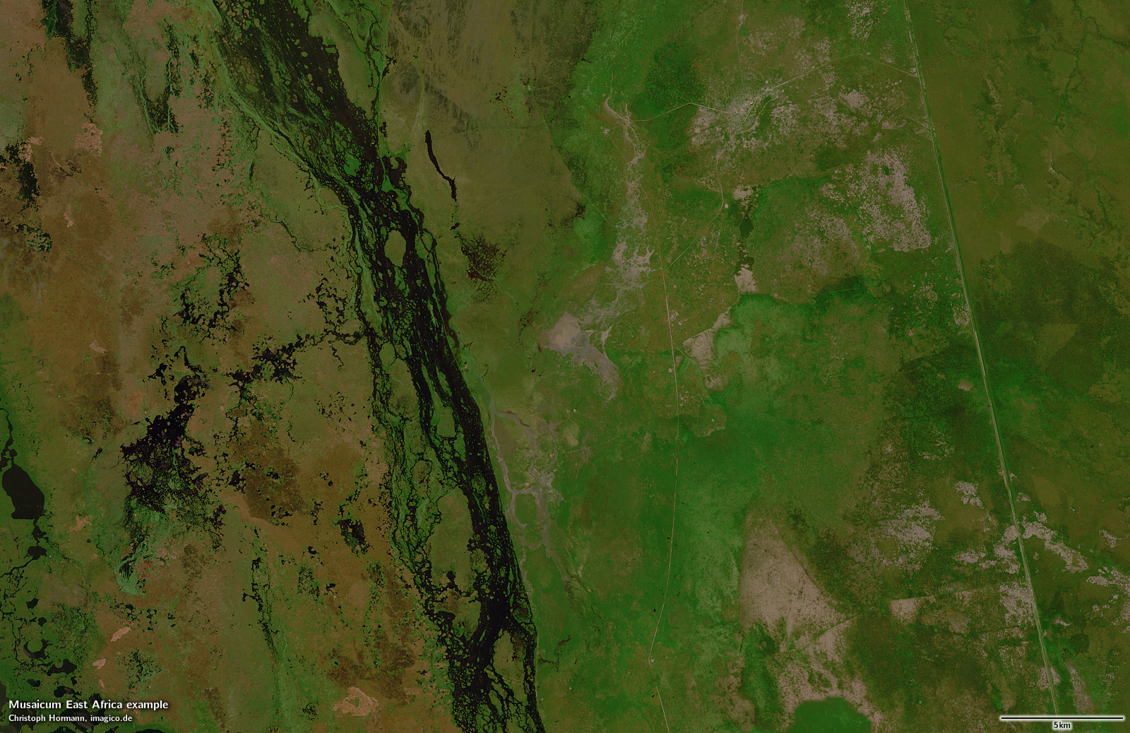
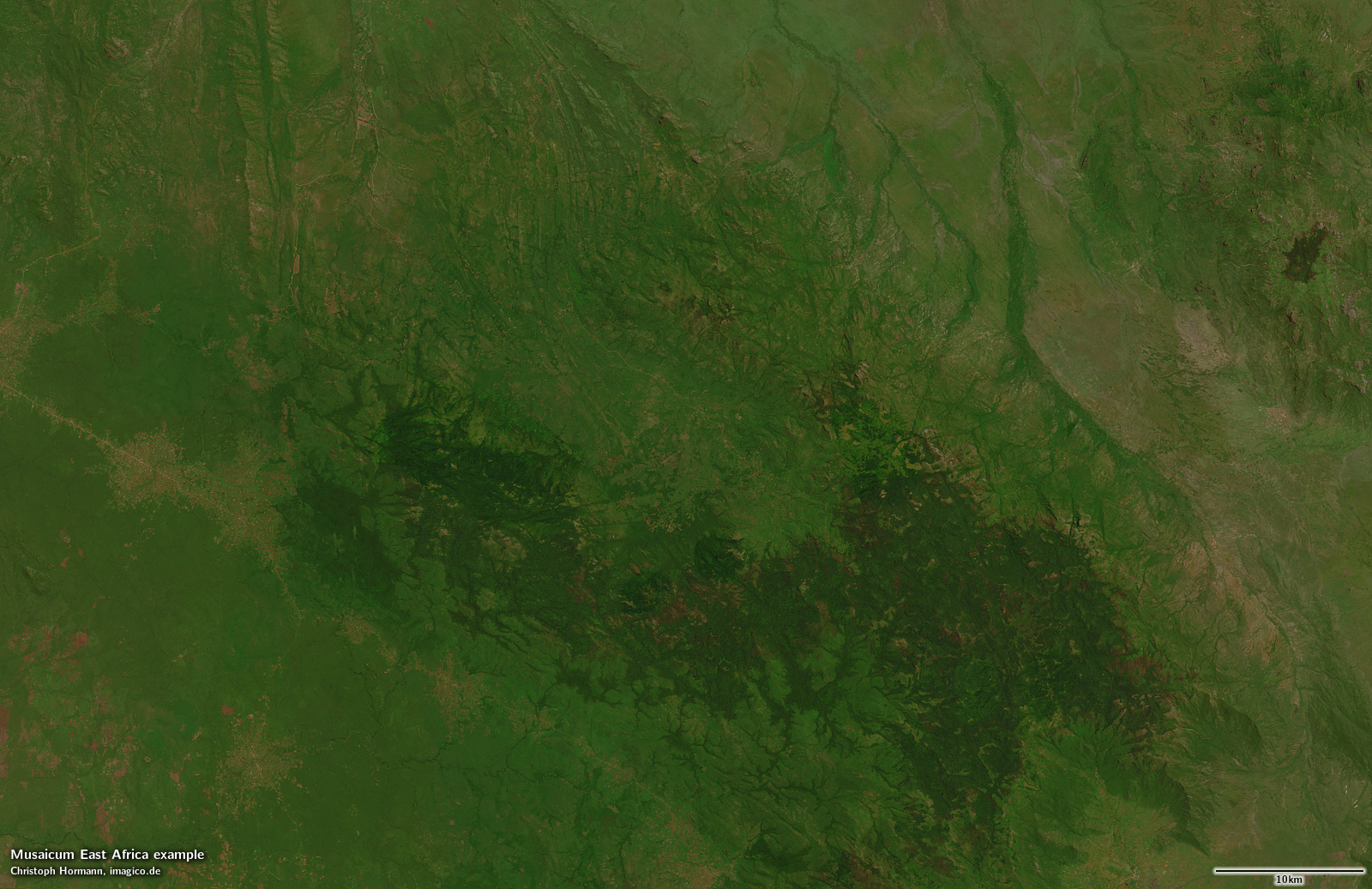
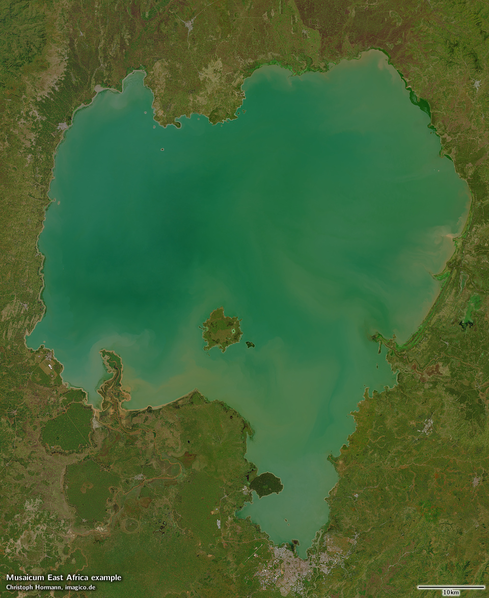
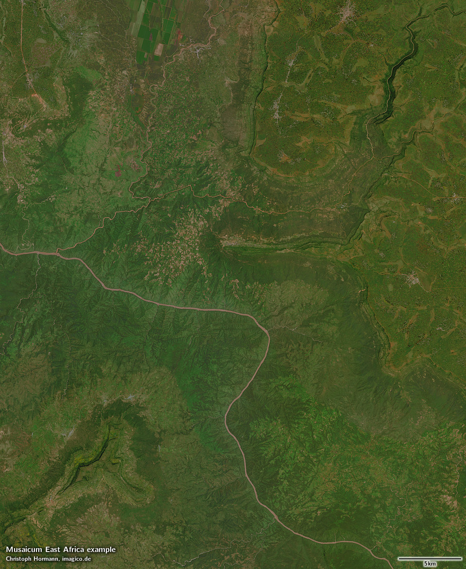
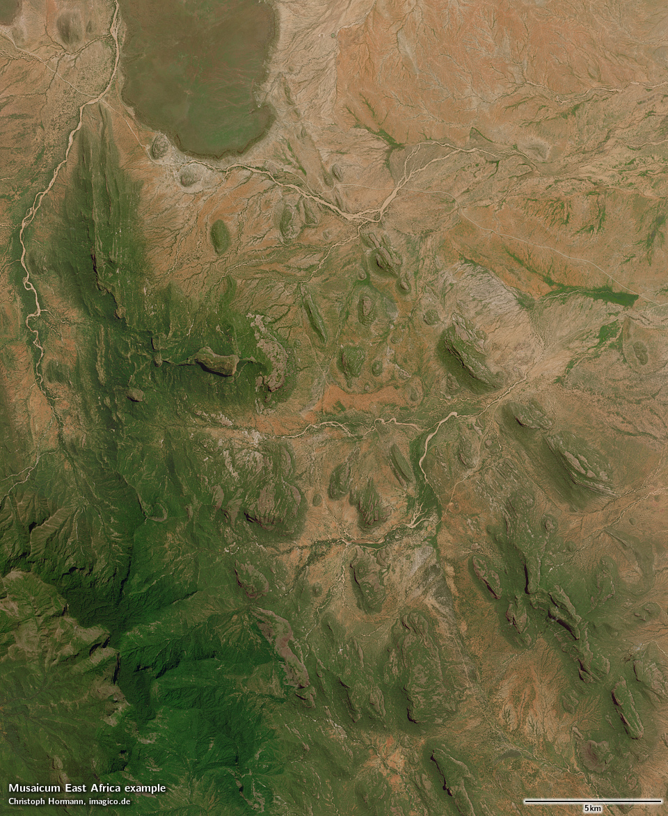
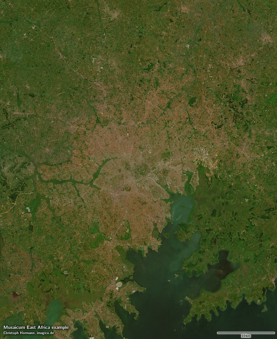
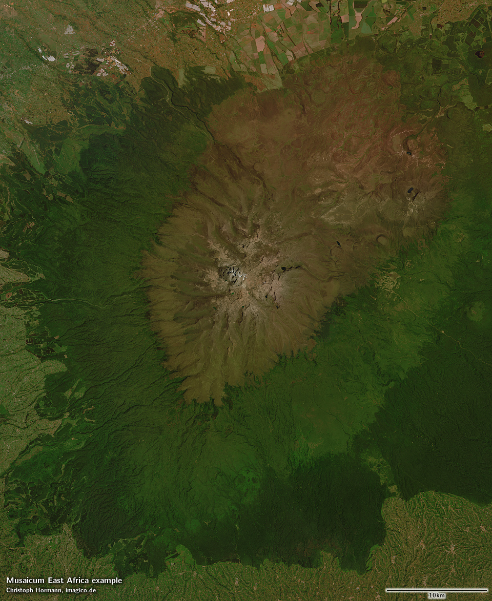
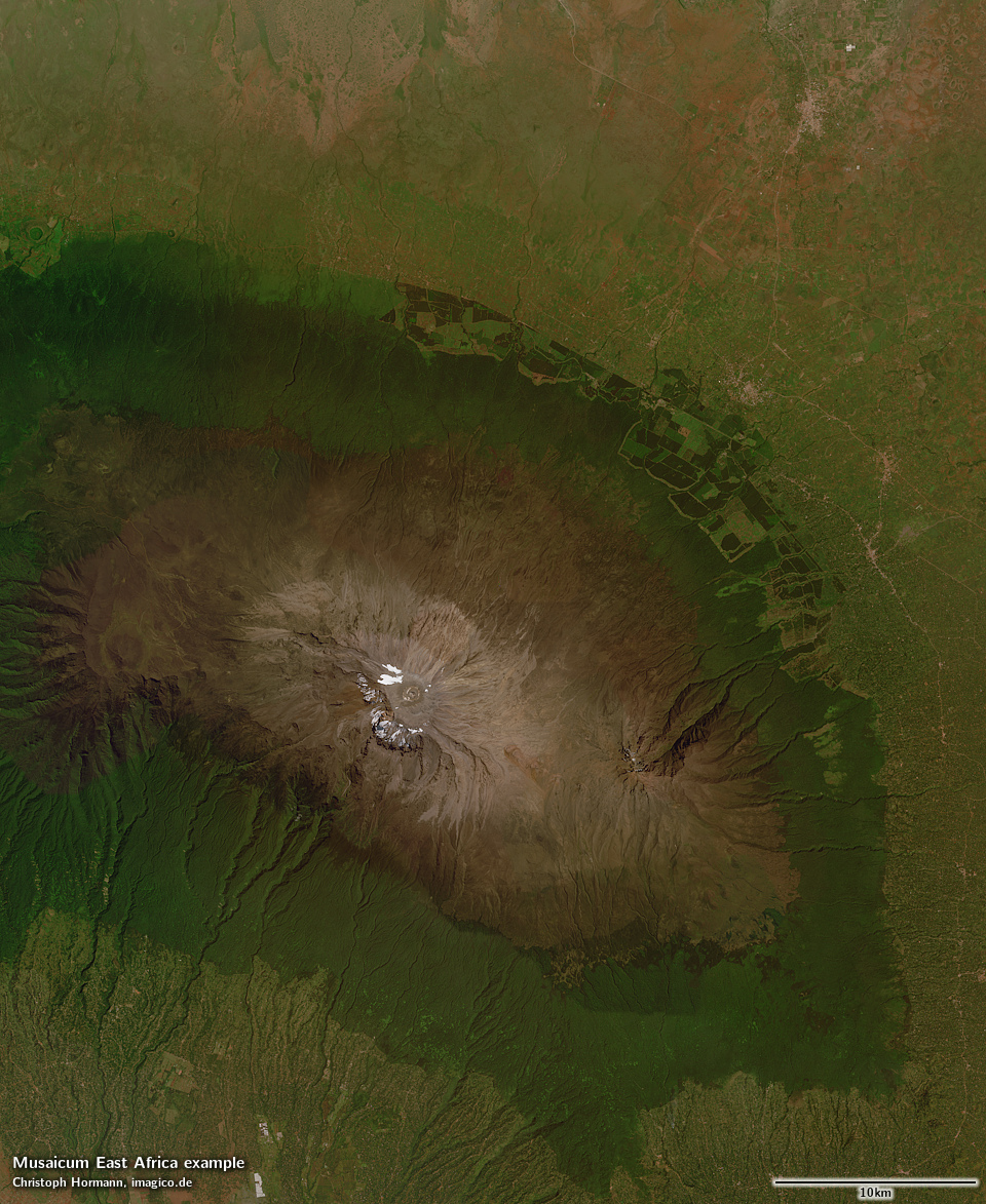
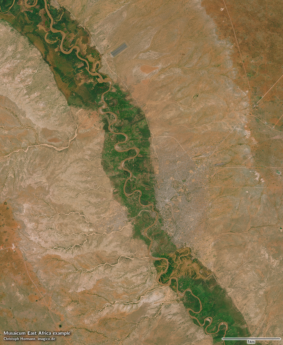
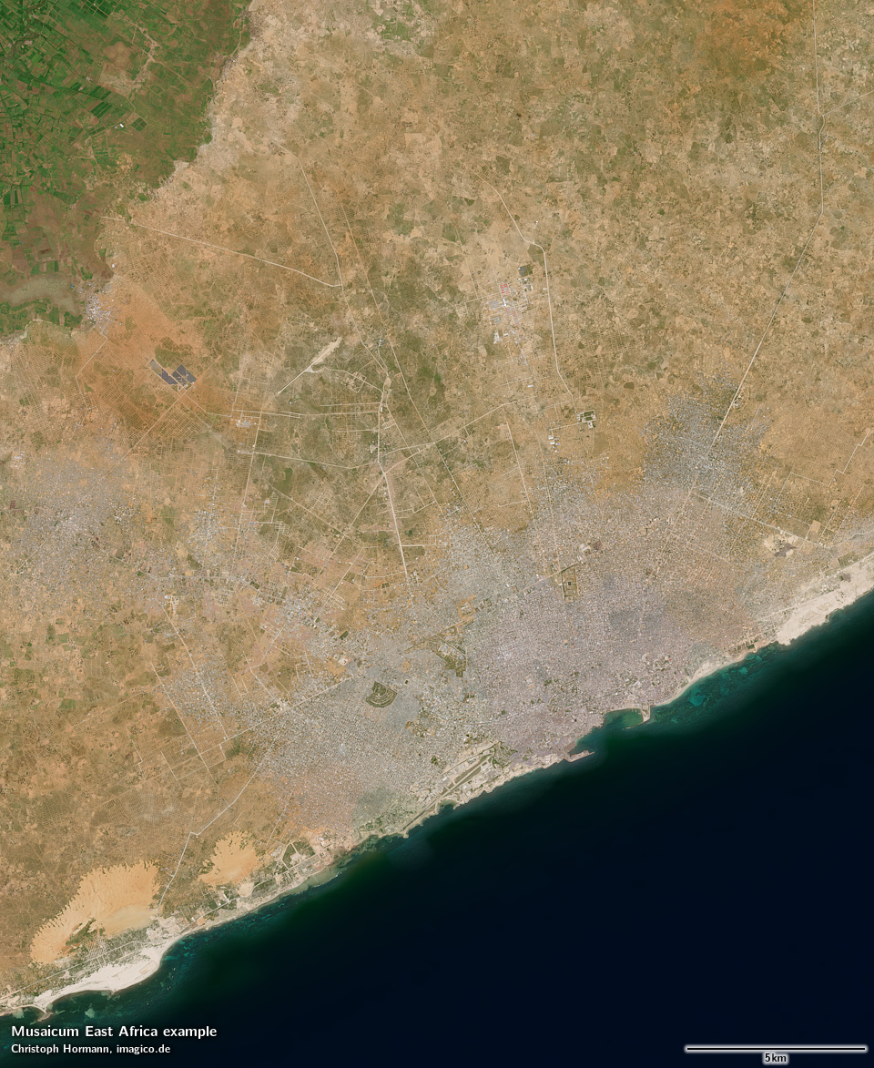
The Musaicum East Africa is a regional visible color satellite image mosaic of East Africa with a ground resolution of 10m. It combines recent Sentinel-2 satellite imagery into the highest quality and most cloud free depiction of the region in this resolution class available today.

Coverage includes Burundi, Djibouti, Eritrea, Ethiopia, Kenya, Rwanda, Somalia, South Sudan, Sudan, Tanzania and Uganda.

It is generated using a classical mosaicing process derived from the methods and techniques developed for local mosaics, but with a high degree of automatization. This eliminates most of the time intensive manual steps, while maintaining high quality standards.

Compared to the Green Marble, the Musaicum East Africa offers much higher spatial resolution (10m compared to 250/300m) at the cost of slightly more heterogeneous coloring due to the smaller data basis. Cloud occurrence is comparable to my hand produced local mosaics with less than about one in 100k pixels significantly affected by clouds.

Compared to the Musaicum EU-Plus, the Musaicum West Asia and the Musaicum United States, aggregation techniques have been further improved, in particular regarding the different climate of the region.

Primary data source for the image is Sentinel-2 imagery from 2021 to 2026, in smaller parts also from 2016 to 2020. In a very small area of the Rwenzori mountains also Landsat images from 2024 and 2025 have been used. This accounts for less than one percent of a single MGRS tile.

In case you would like to read in more detail about this mosaic off-line a product description is available for download and offline reading as well.

Key properties

  • Visible color mosaic of East Africa including Burundi, Djibouti, Eritrea, Ethiopia, Kenya, Rwanda, Somalia, South Sudan, Sudan, Tanzania and Uganda
  • 10m base resolution
  • Based on Sentinel-2 data from 2016 to 2026
  • Includes full coverage of smaller lakes and coastal waters, no coverage of the open ocean and a few larger lakes (in particular Lake Victoria and Lake Tanganyika)
  • Shows atmosphere compensated surface color, available either as linear surface reflectance values or tone mapped for direct display
  • Available with illumination as recorded and with shading compensation

Product packaging

The mosaic is produced in different projections for different parts of the coverage area and is assembled in the target projection on demand. The previews of the whole mosaic shown here are in Lambert conformal conic projection. For use in web maps in Mercator projection by default a z14 grid (9.5546m nominal resolution) is provided.

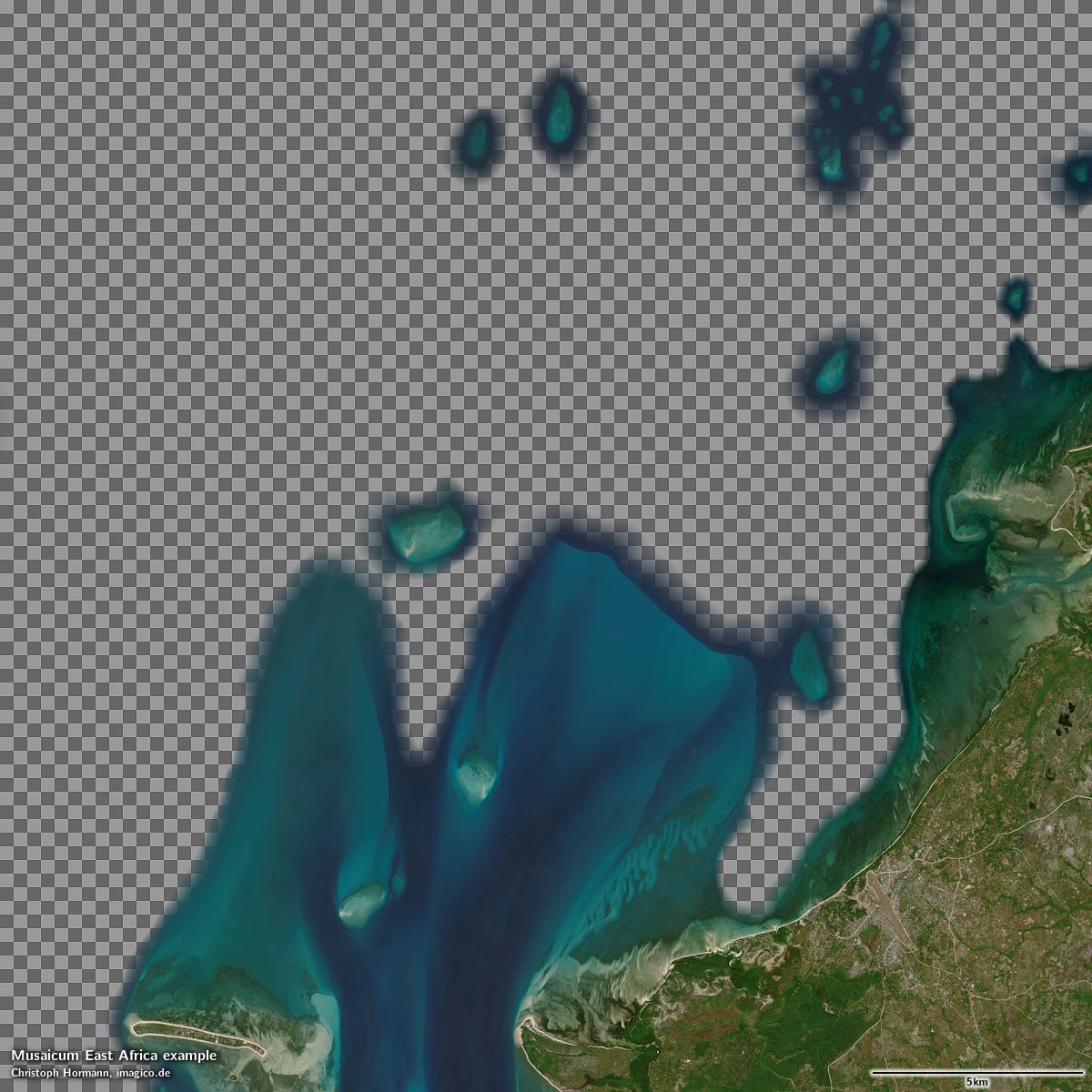
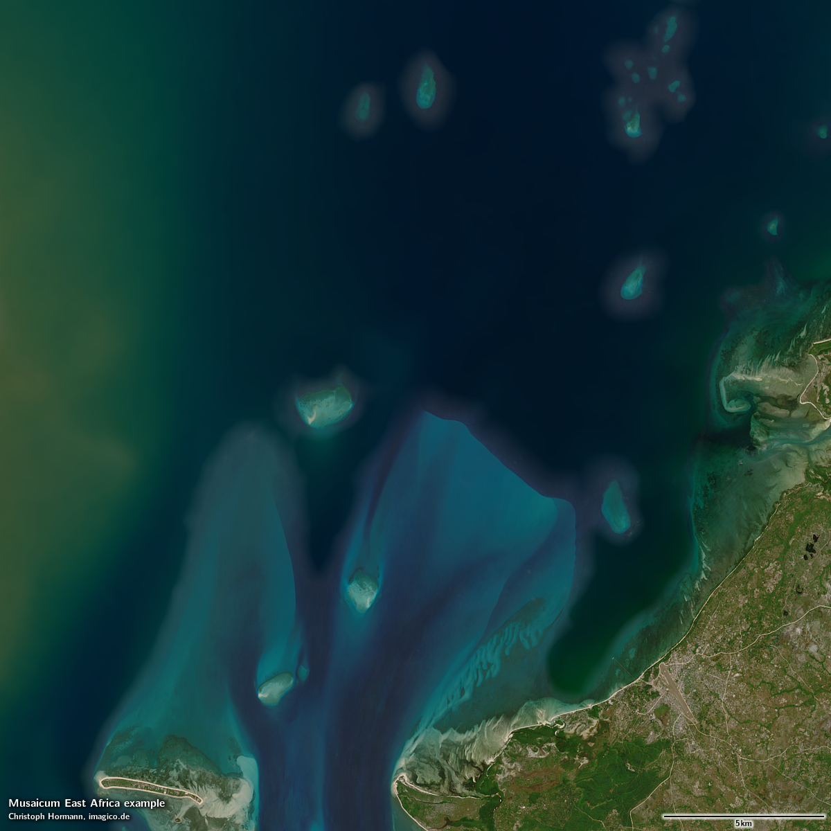
The standard form of distribution of this mosaic is with an alpha channel for seamless blending with a background image for the open ocean - like the Green Marble. This is illustrated in the samples below. Other variants can be produced on request.
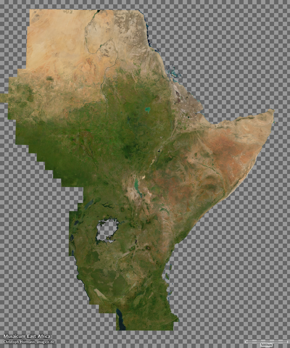
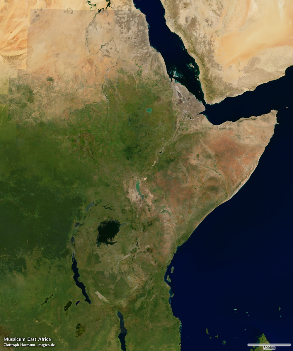
Musaicum East Africa with transparent oceans and alpha channel for seamless blending Musaicum East Africa blended with Green Marble based Ocean coloring Musaicum East Africa with transparent oceans and alpha channel for seamless blending (detail) Musaicum East Africa blended with Green Marble based Ocean coloring (detail)

Product options

In addition to the mosaic with illumination as recorded - which is the recommended version for direct visual applications - this mosaic is also available in a shading compensated version, where the differences in illumination due to the topography and shadows cast by mountains are compensated for. This version can be used, for example, in applications where a synthetic illumination is used to generate a custom shading effect.

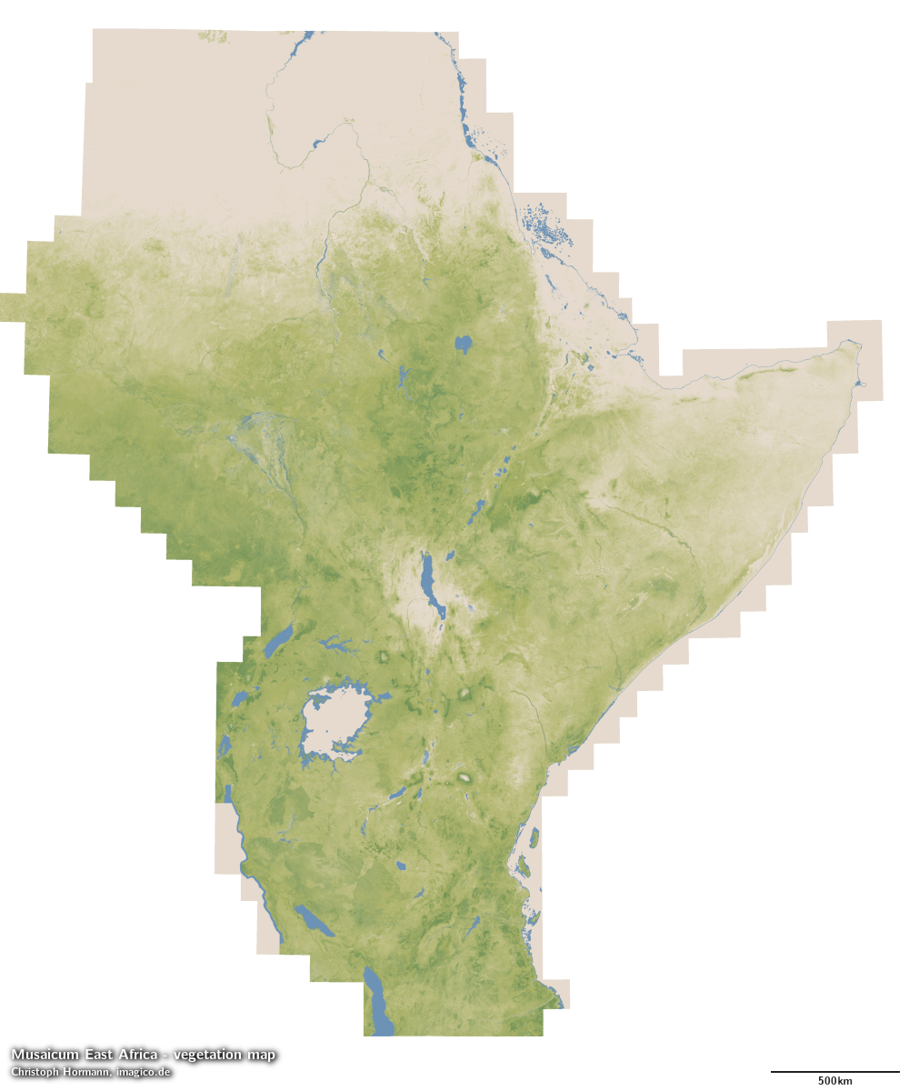
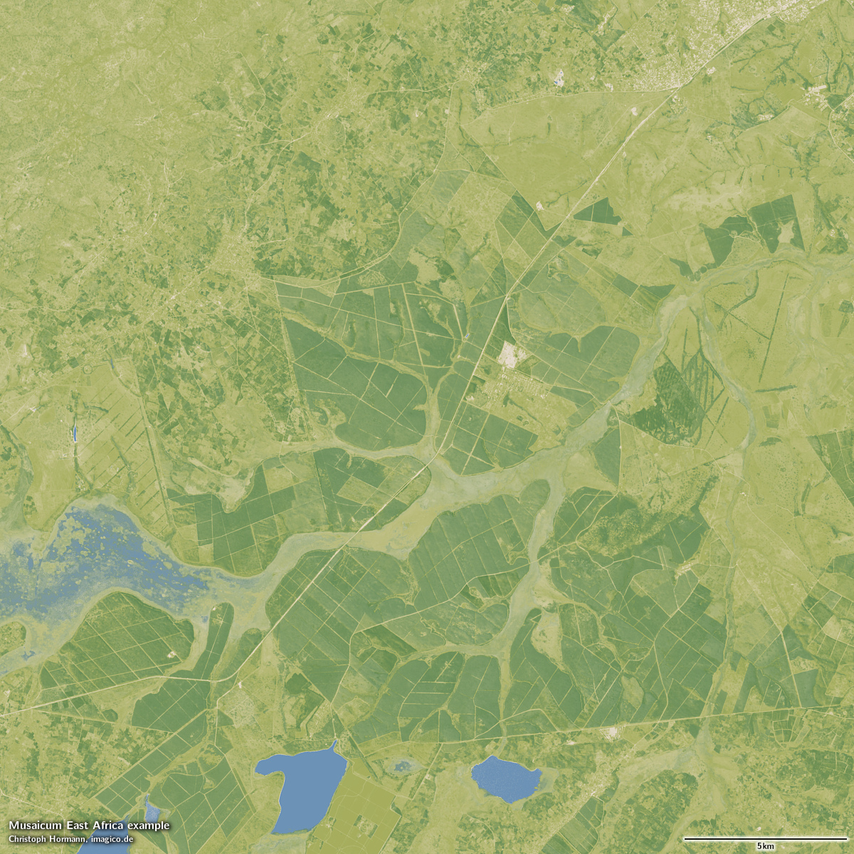
Supplementary to the visual color mosaic a vegetation data set is available with the same coverage and source data, documenting the fractional herbaceous and woody vegetation as well as fractional water cover for every 10m pixel.
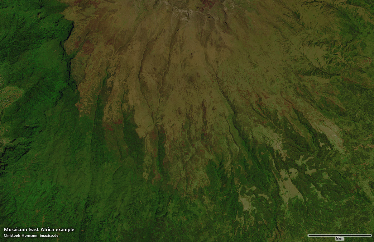
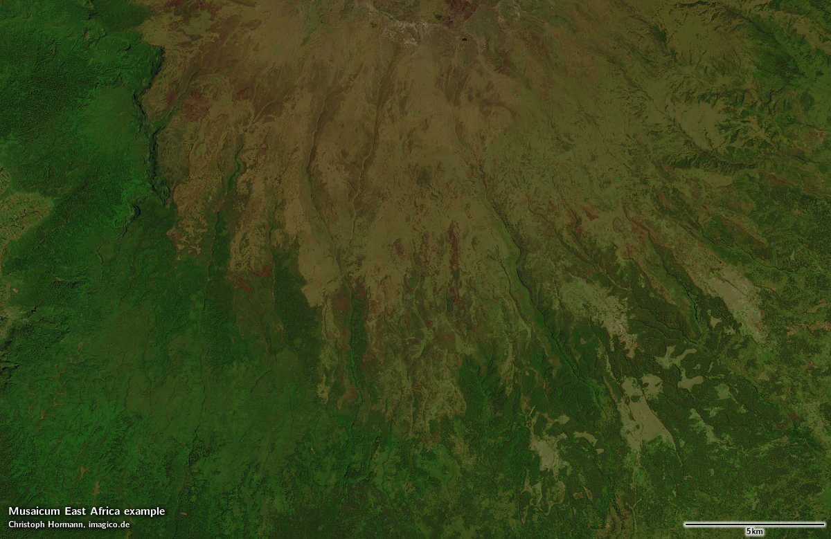
Musaicum East Africa detail with shading as recorded Musaicum East Africa detail with shading compensation Musaicum East Africa detail with shading as recorded Musaicum East Africa detail with shading compensation Musaicum East Africa vegetation map visualization Musaicum East Africa vegetation map visualization - detail

Sample gallery
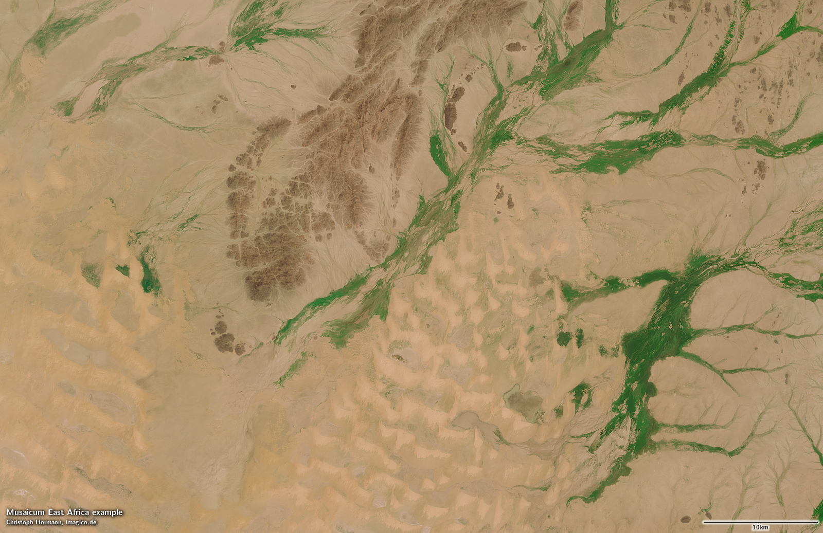
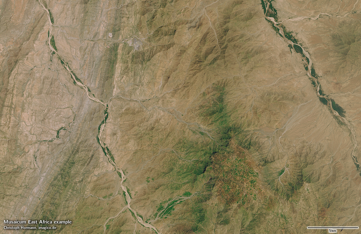
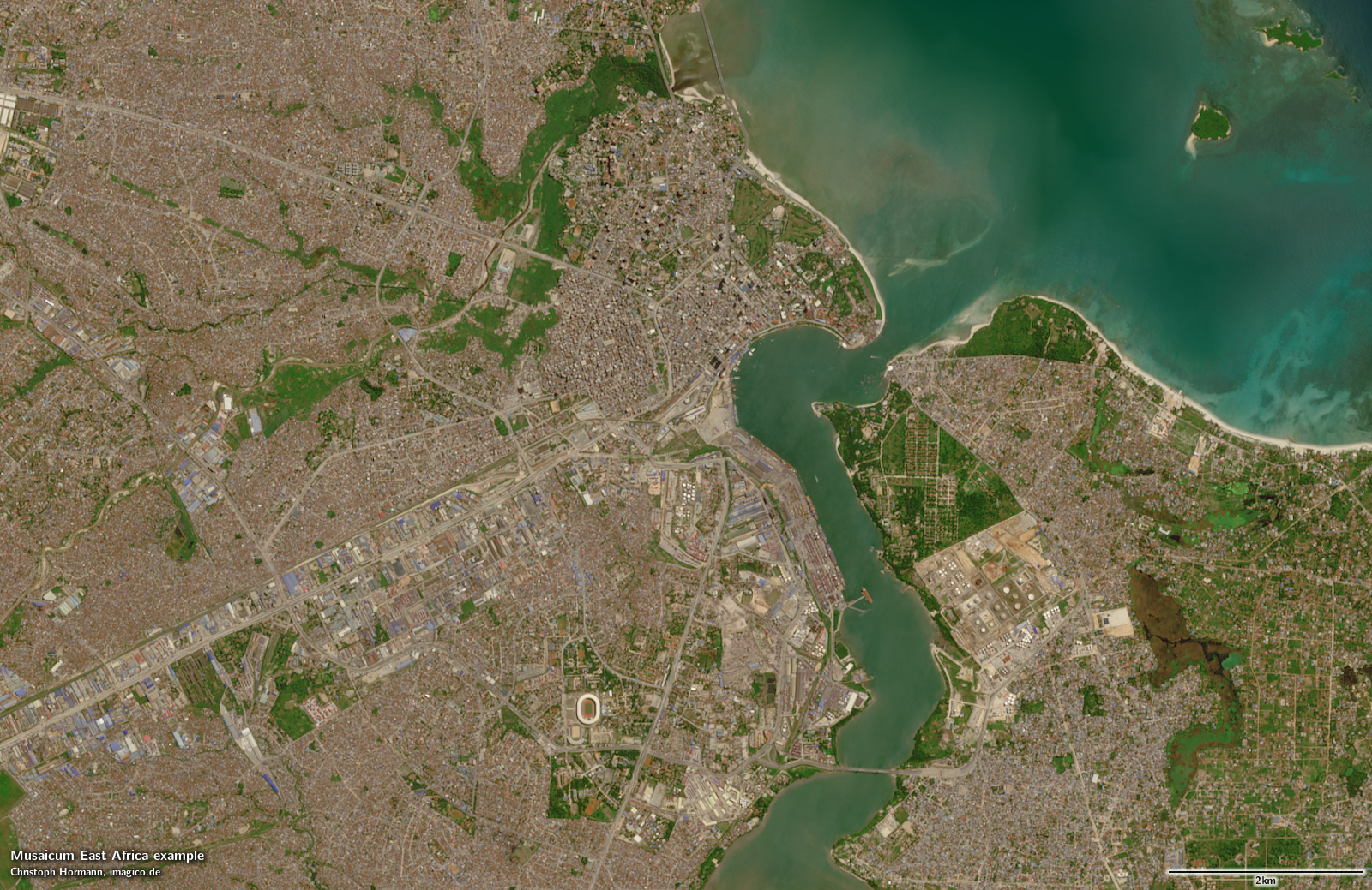
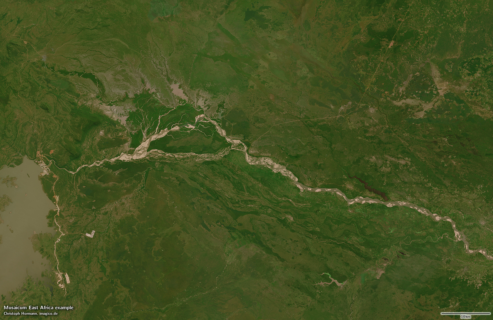
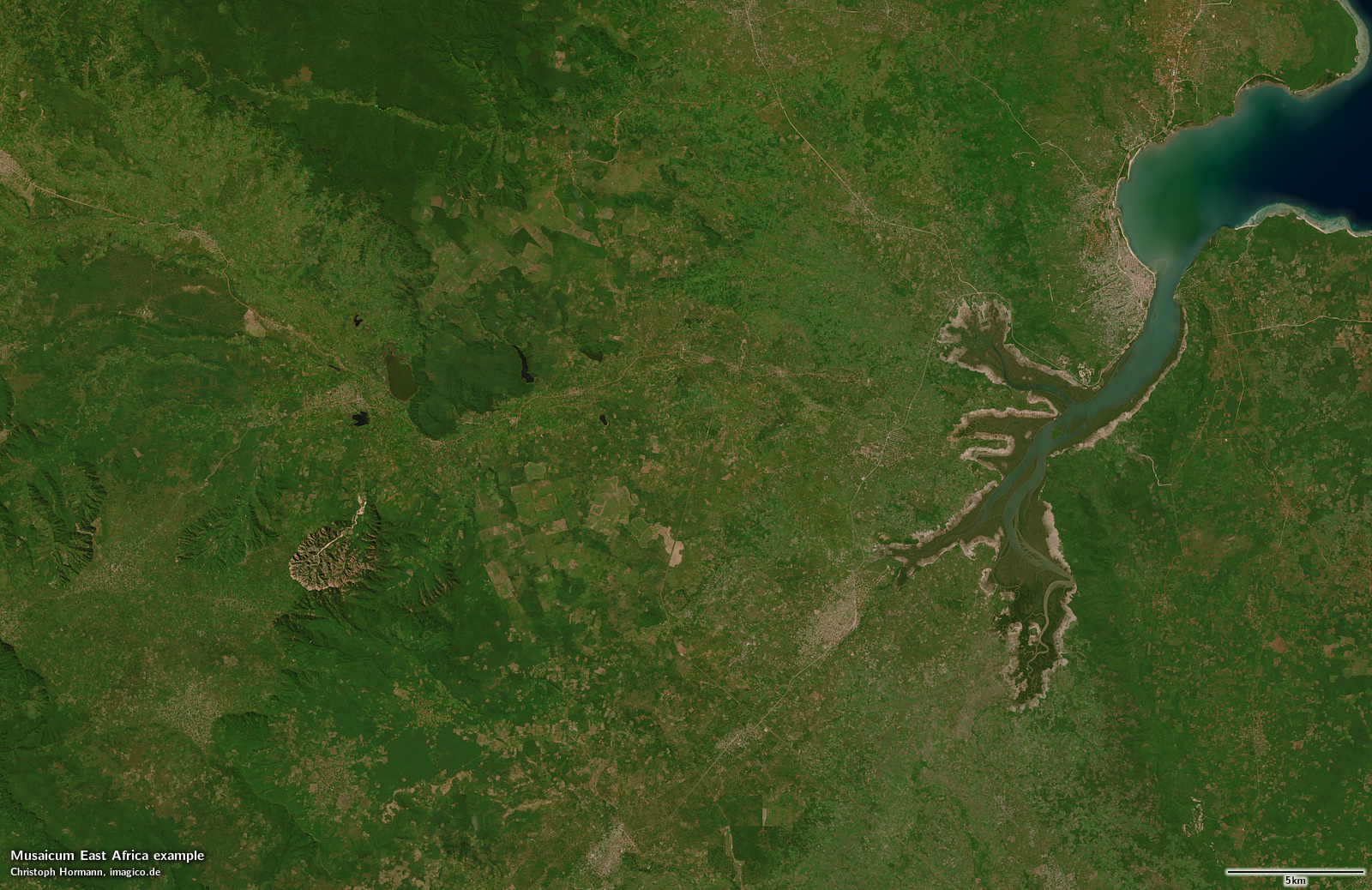
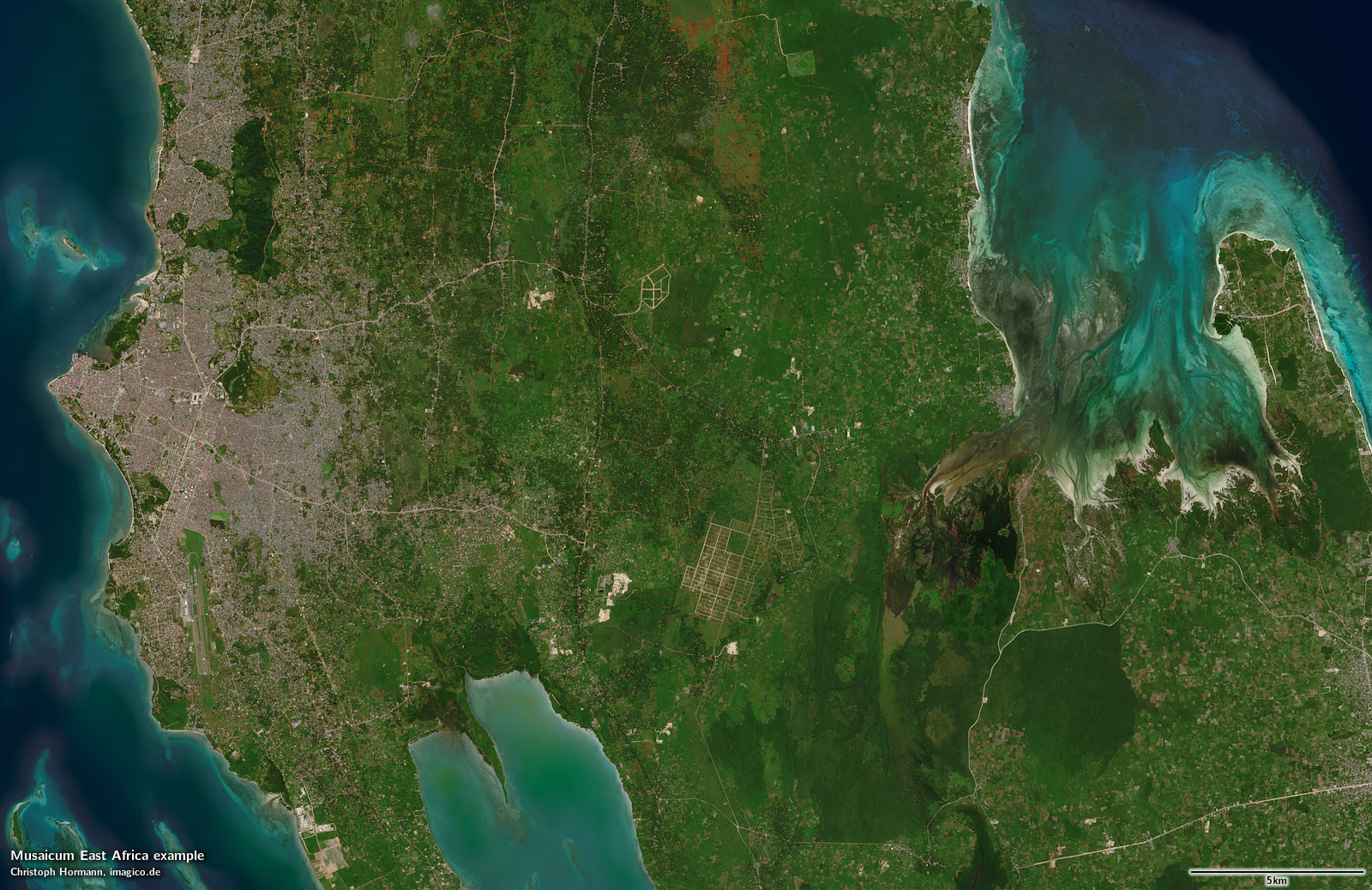
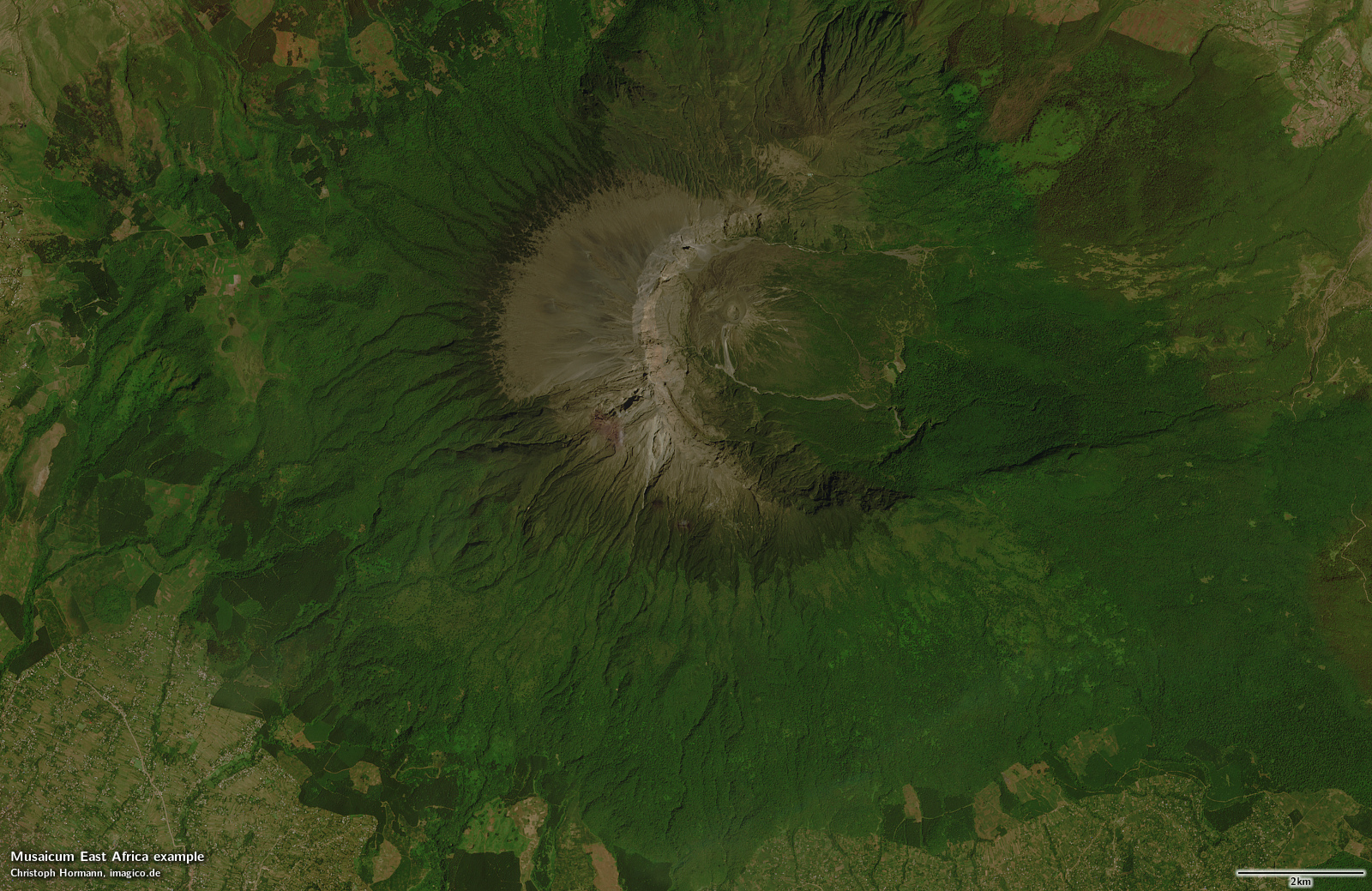
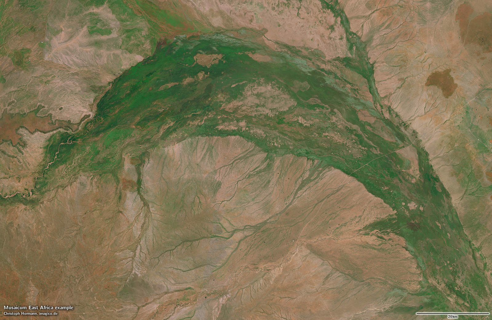
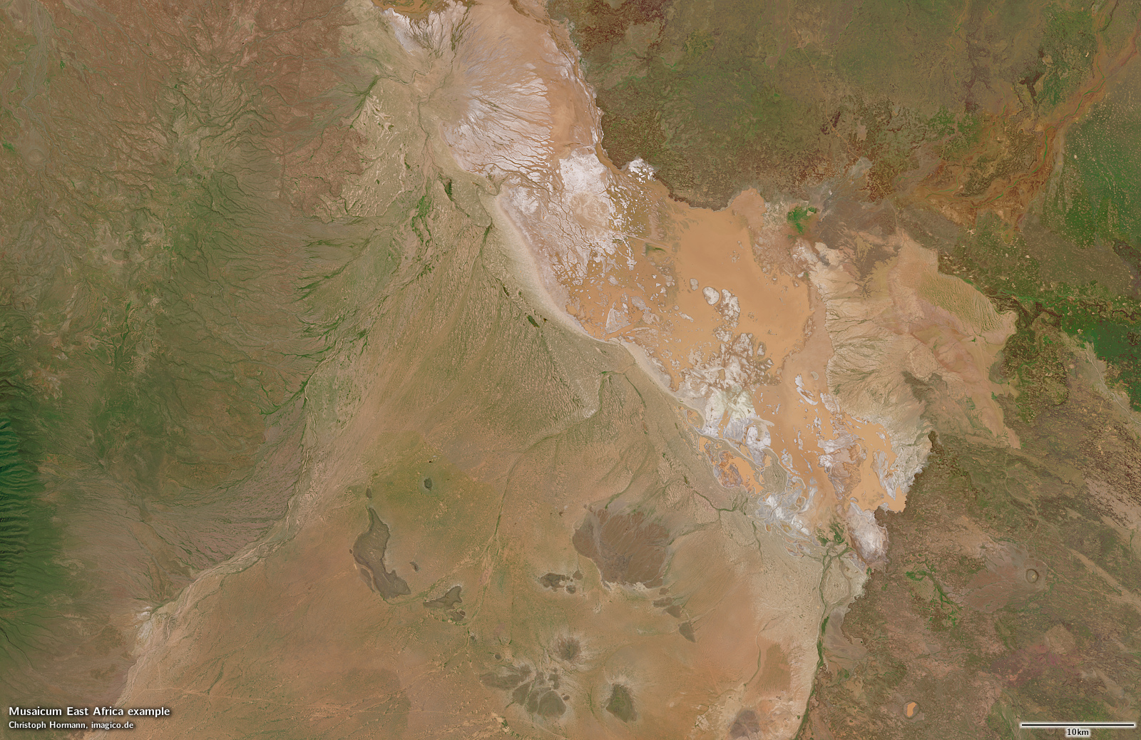
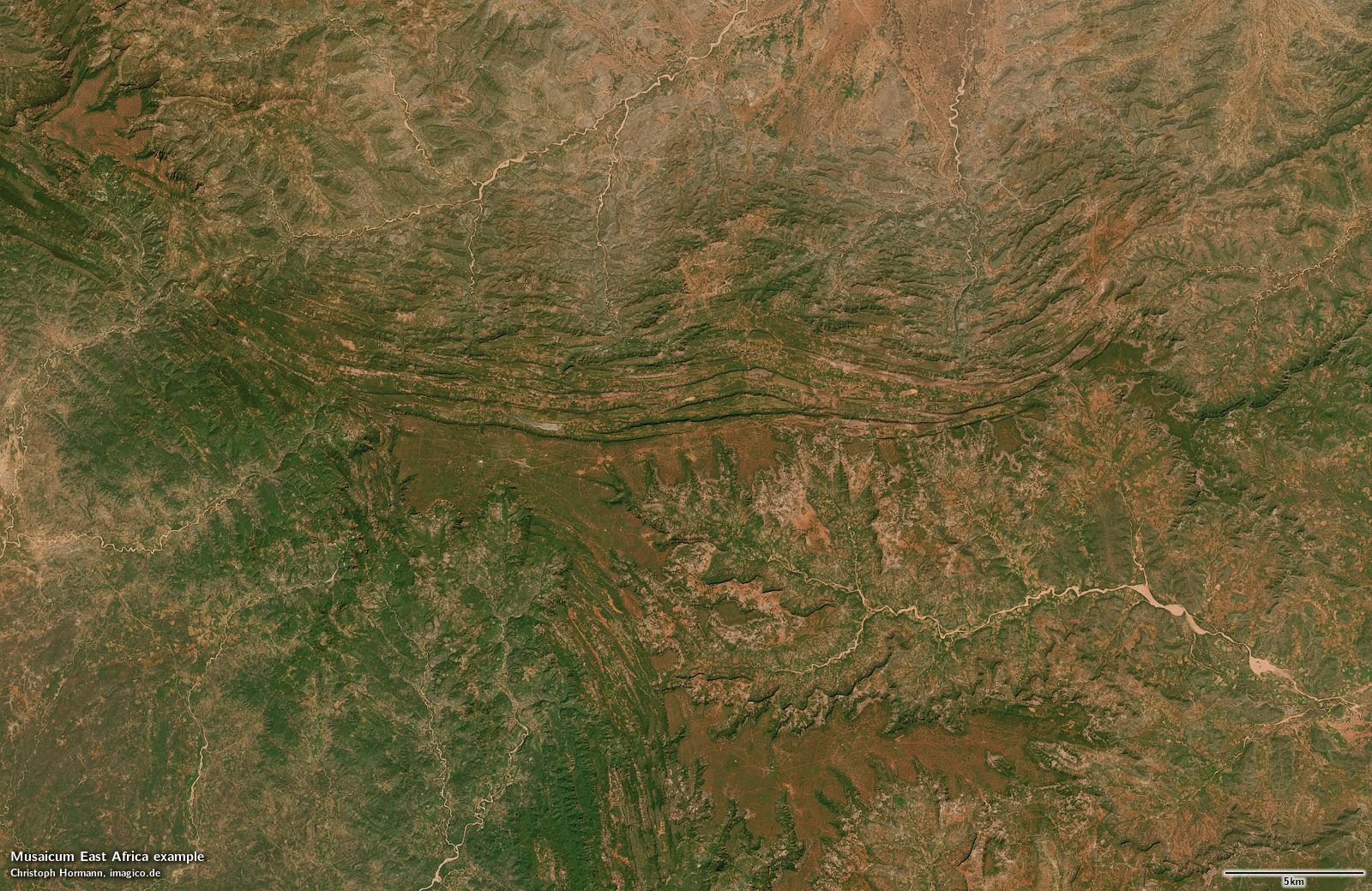
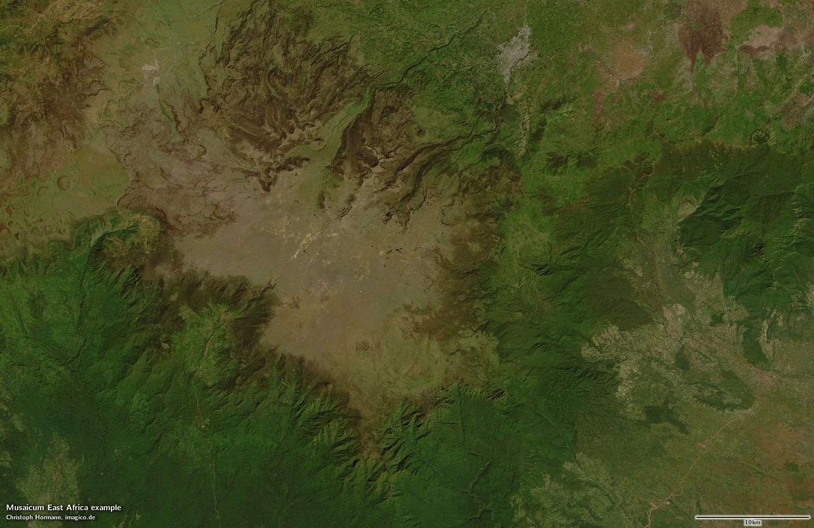
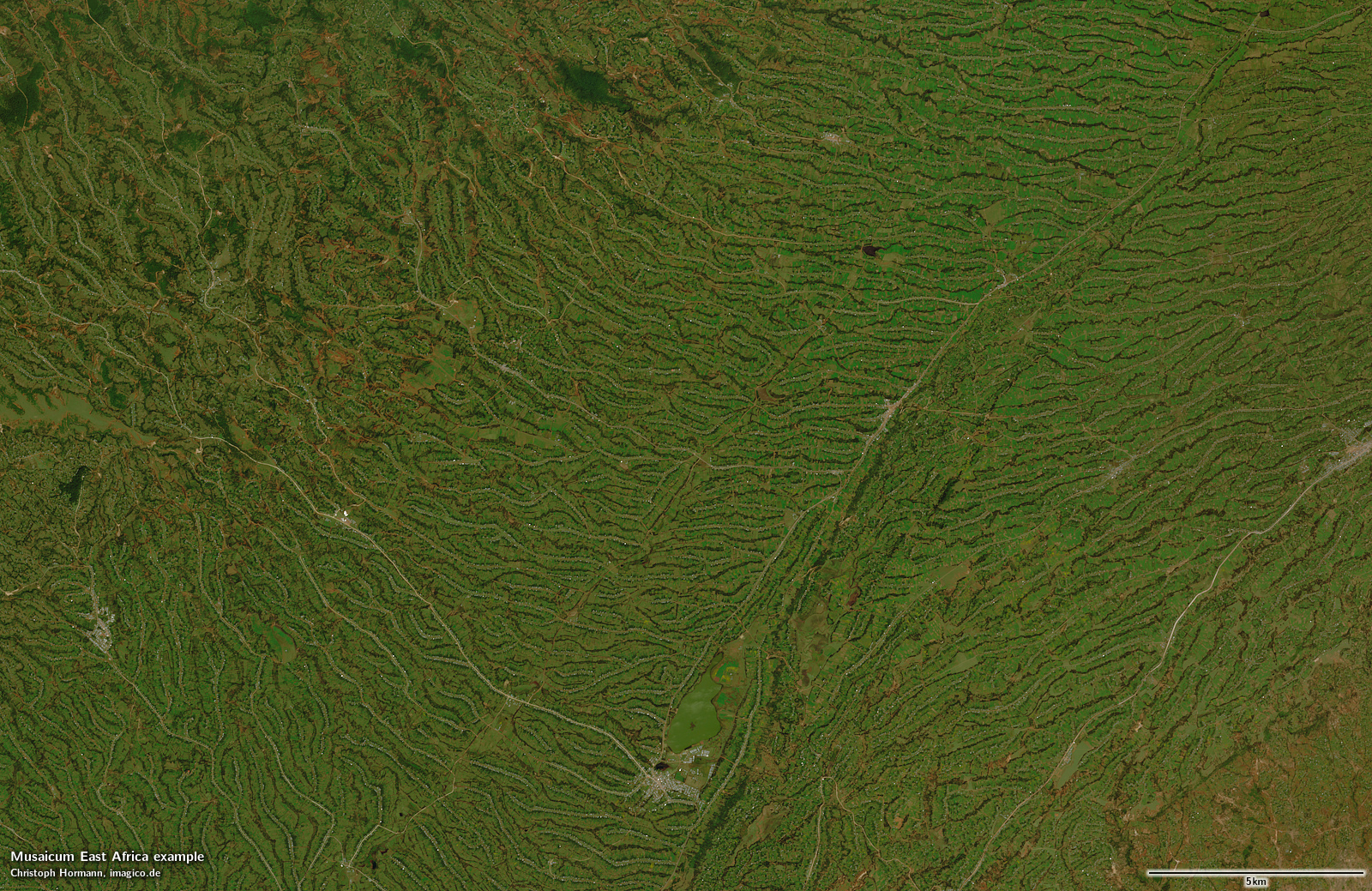
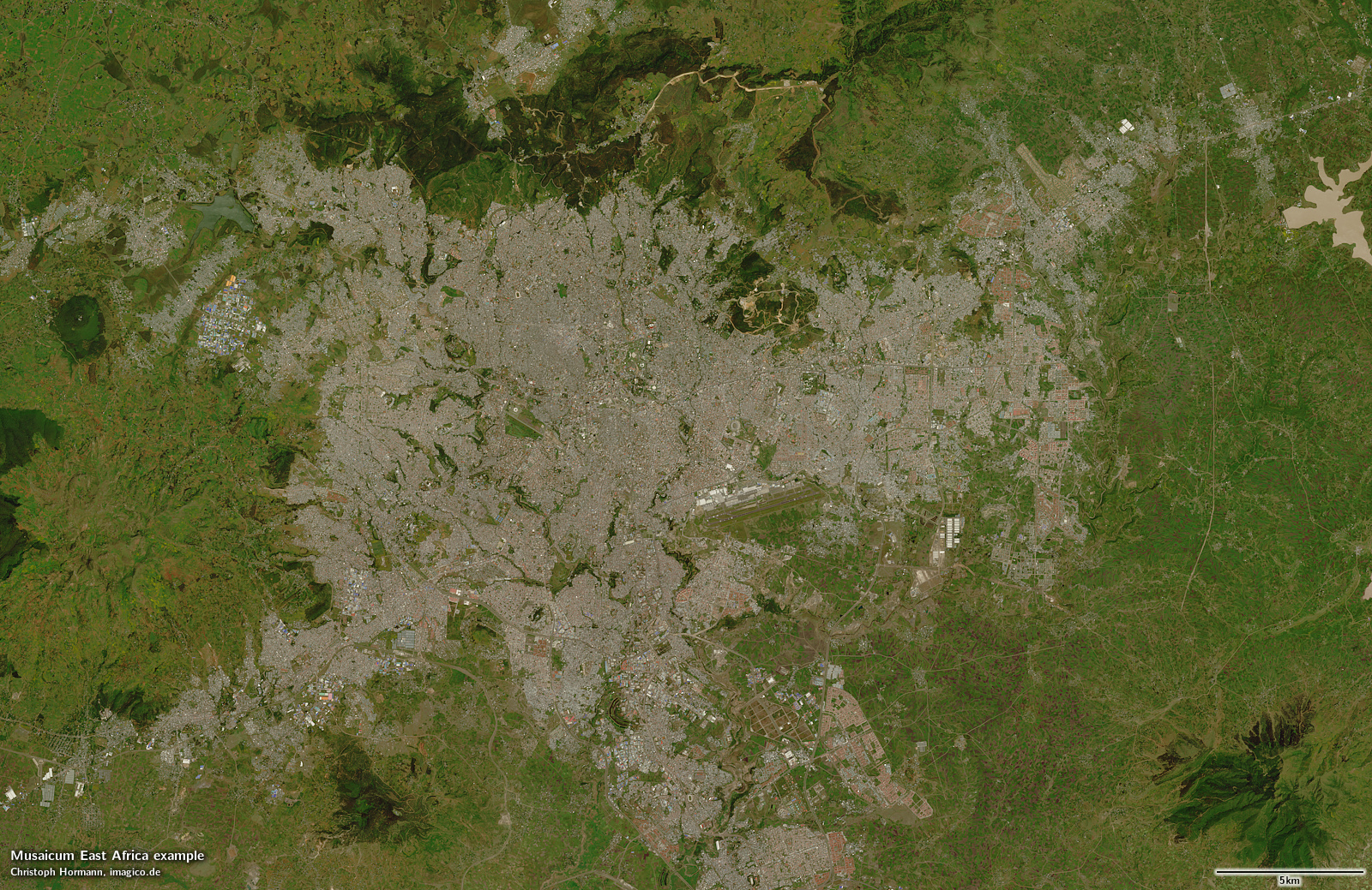
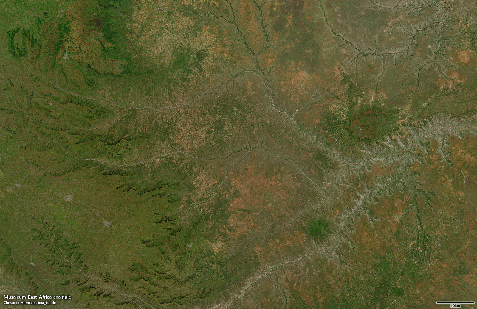
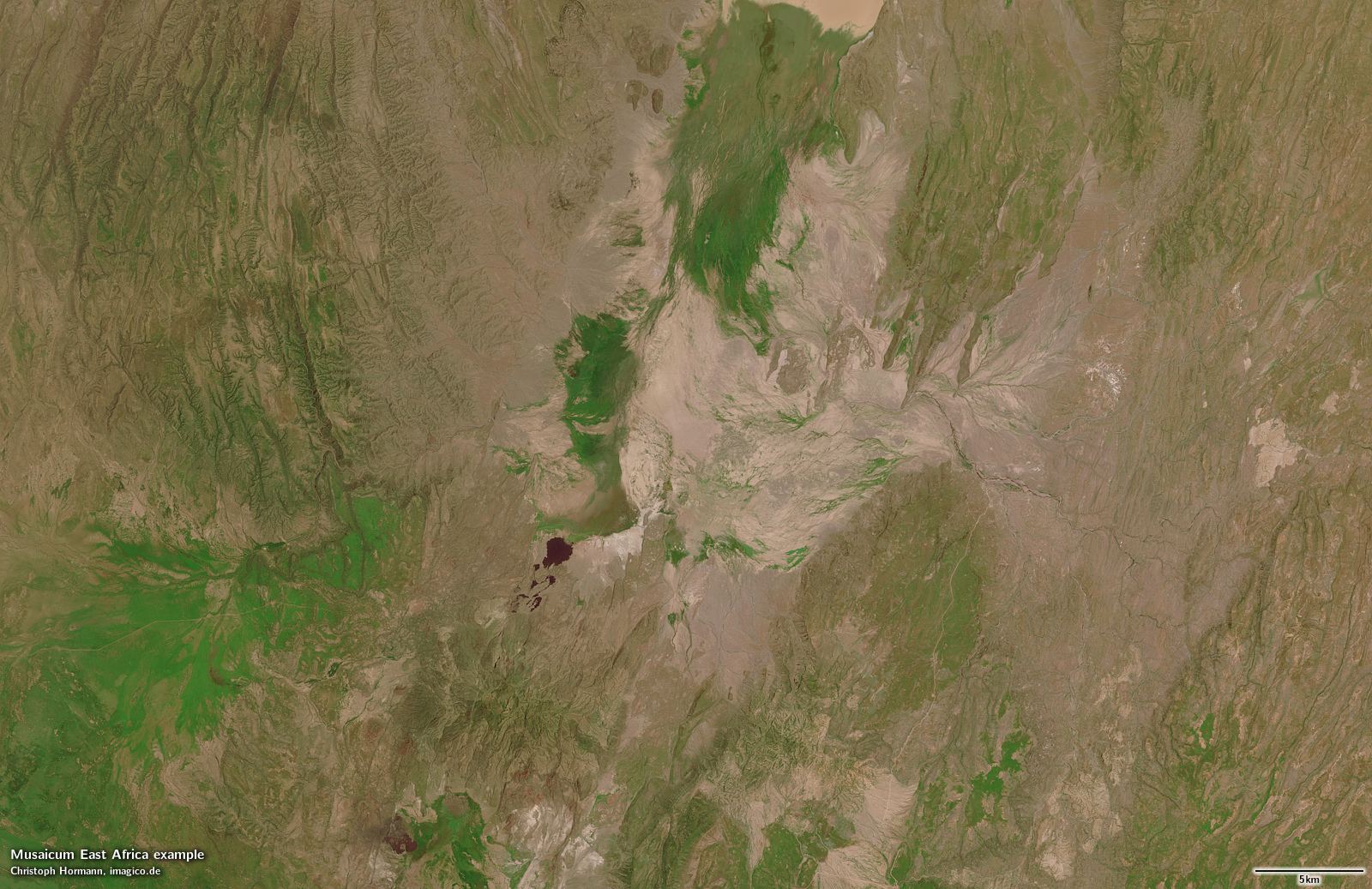
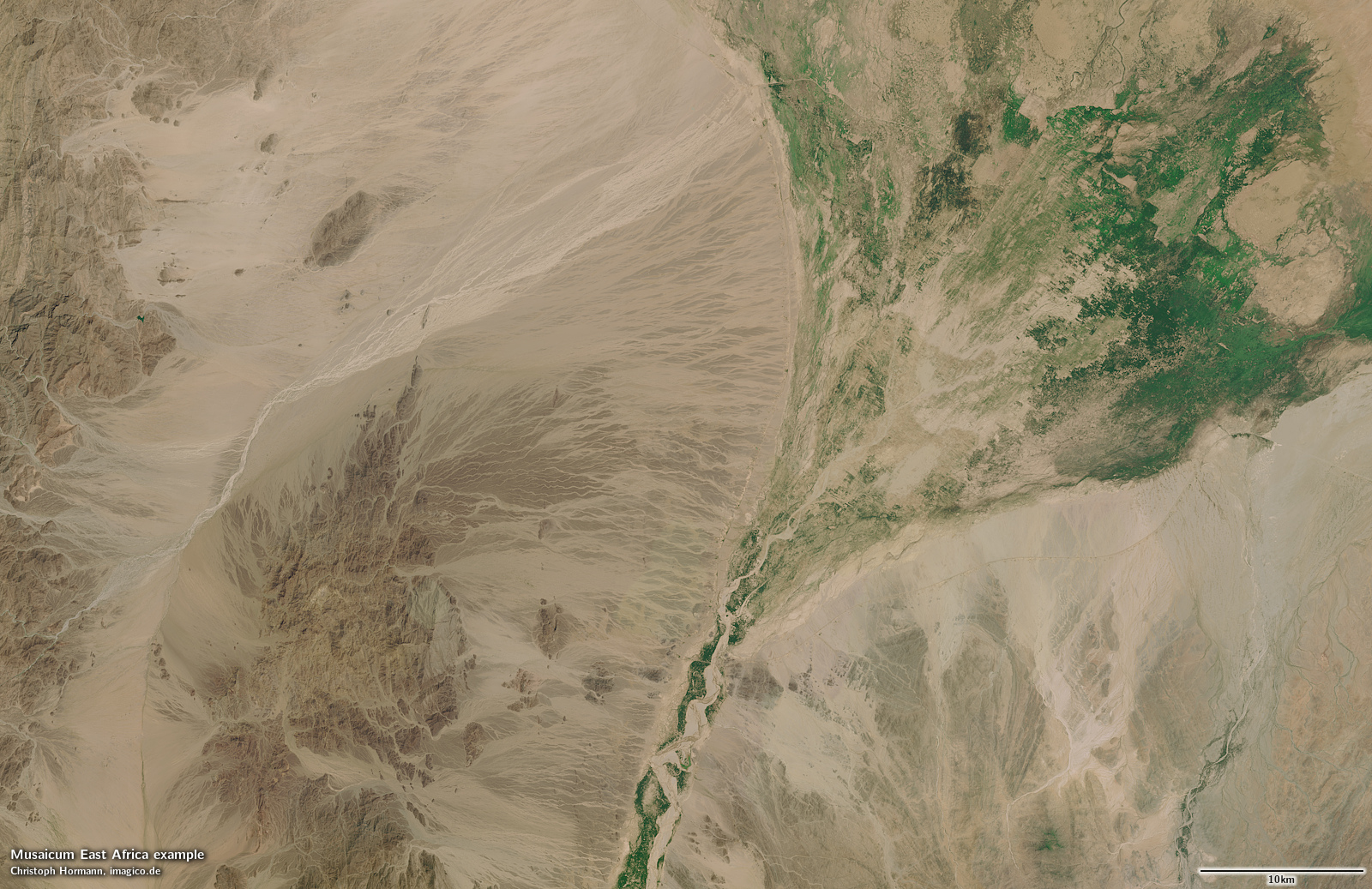
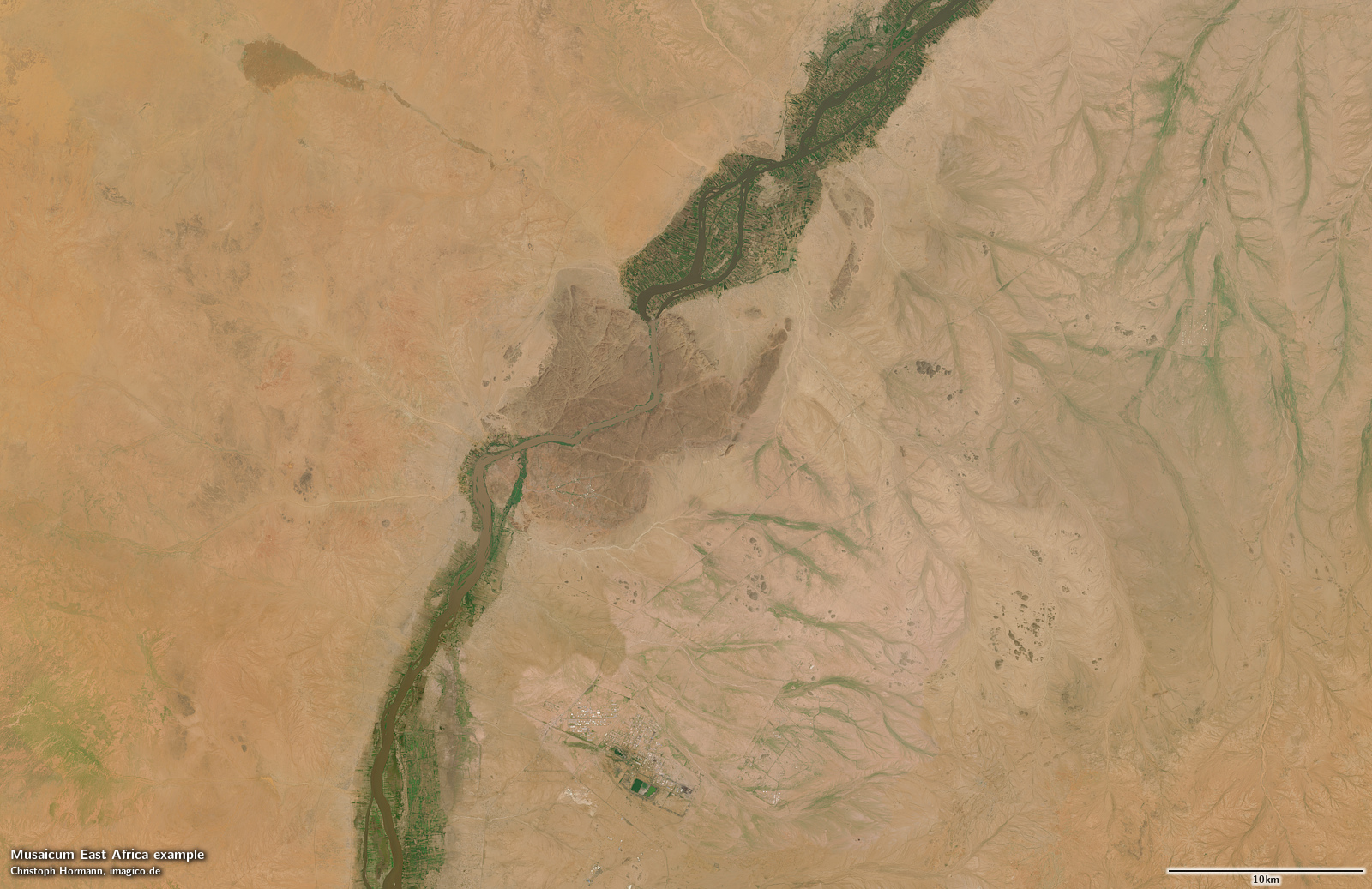
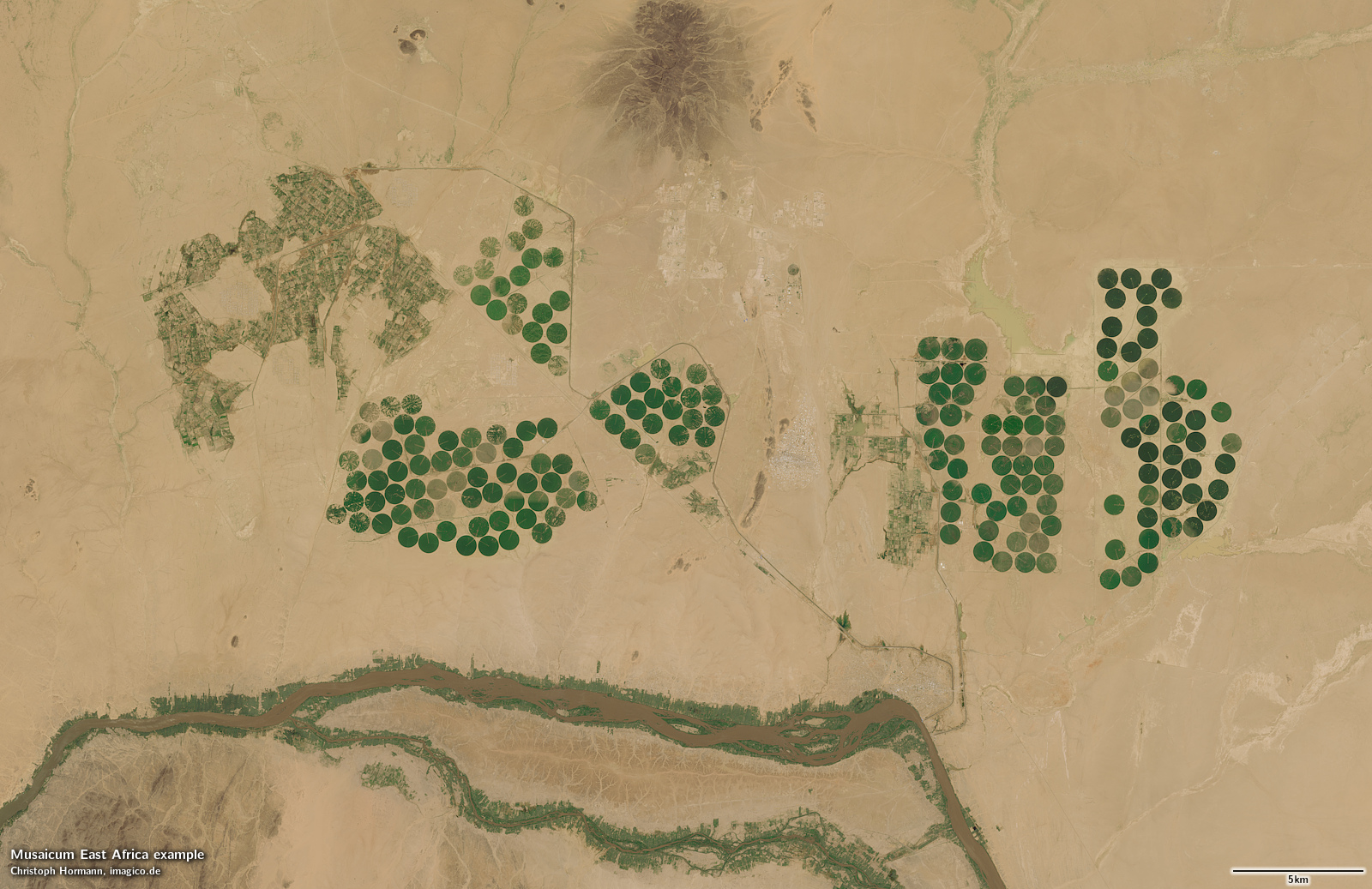
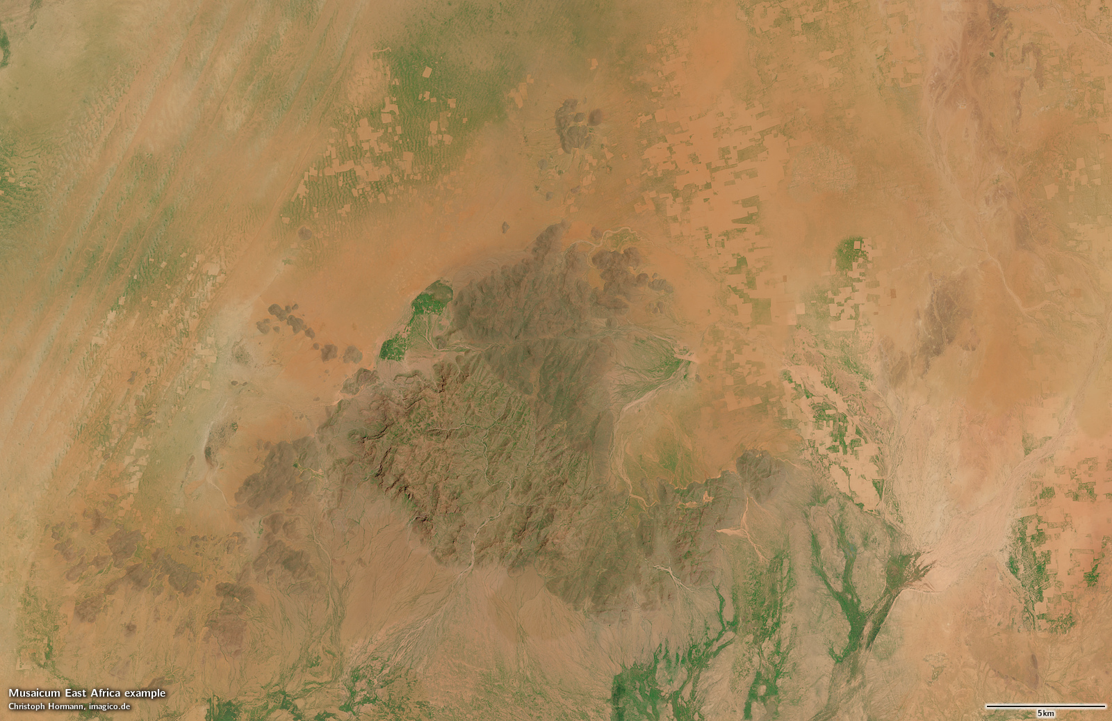
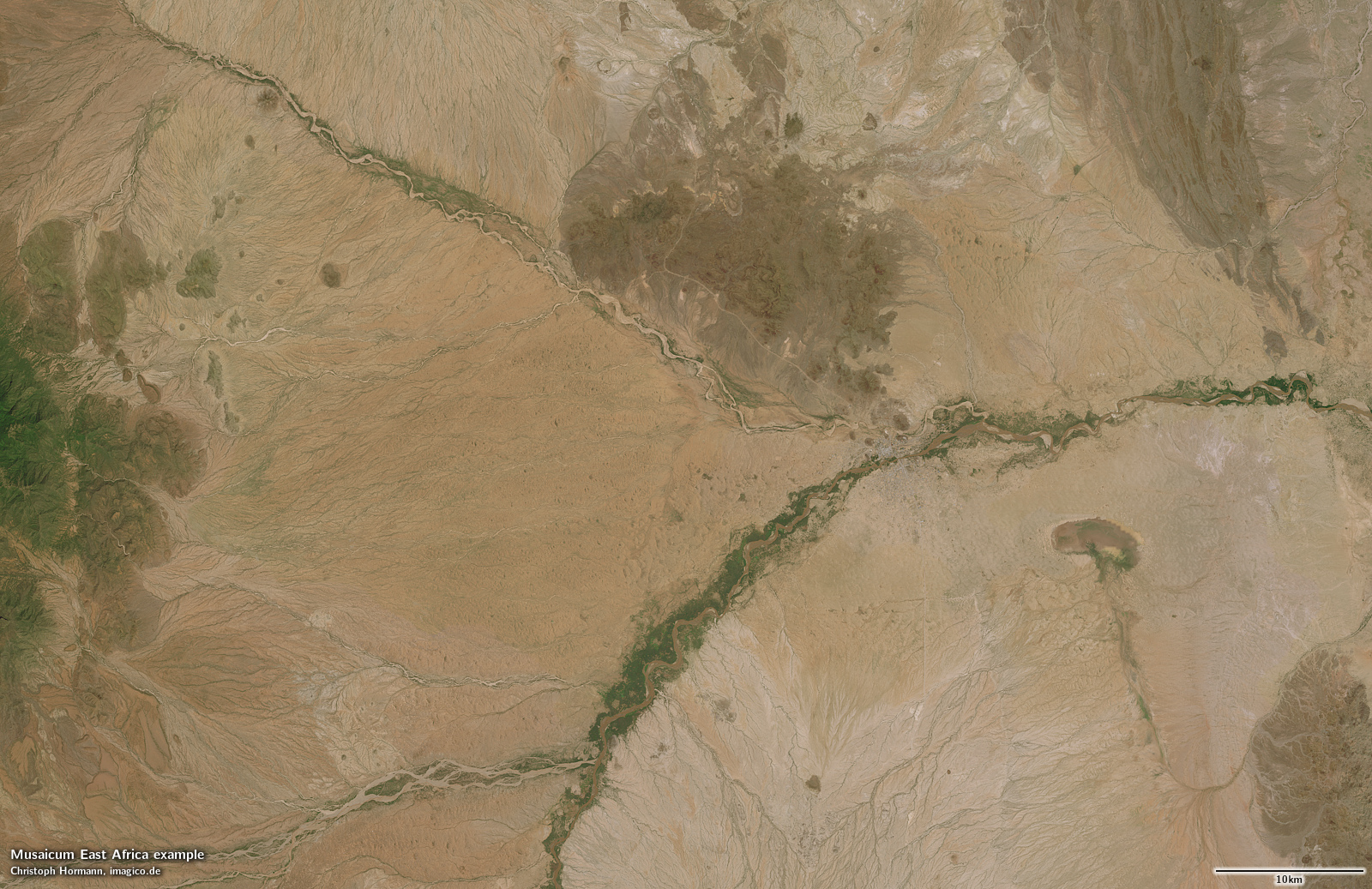
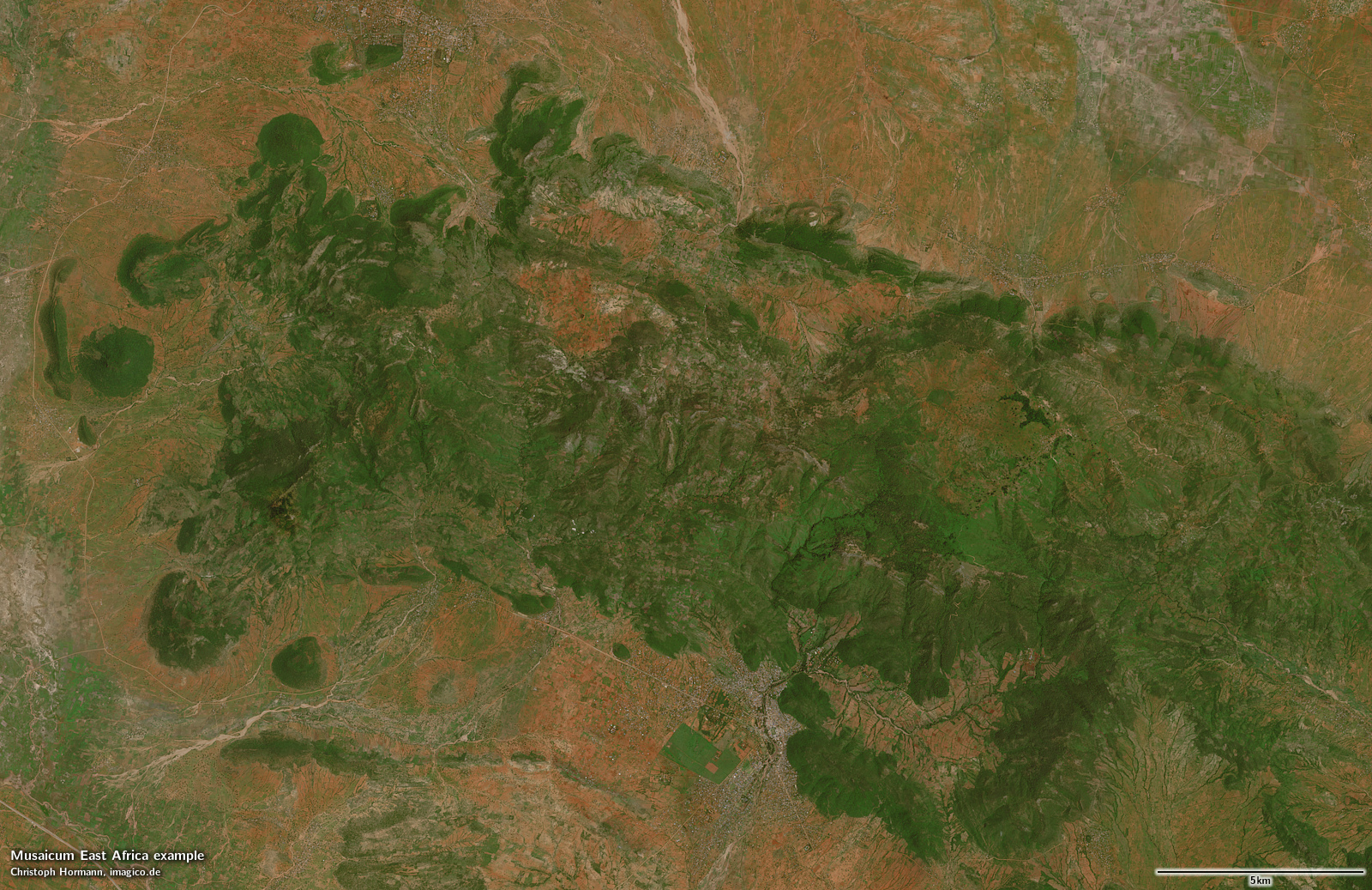
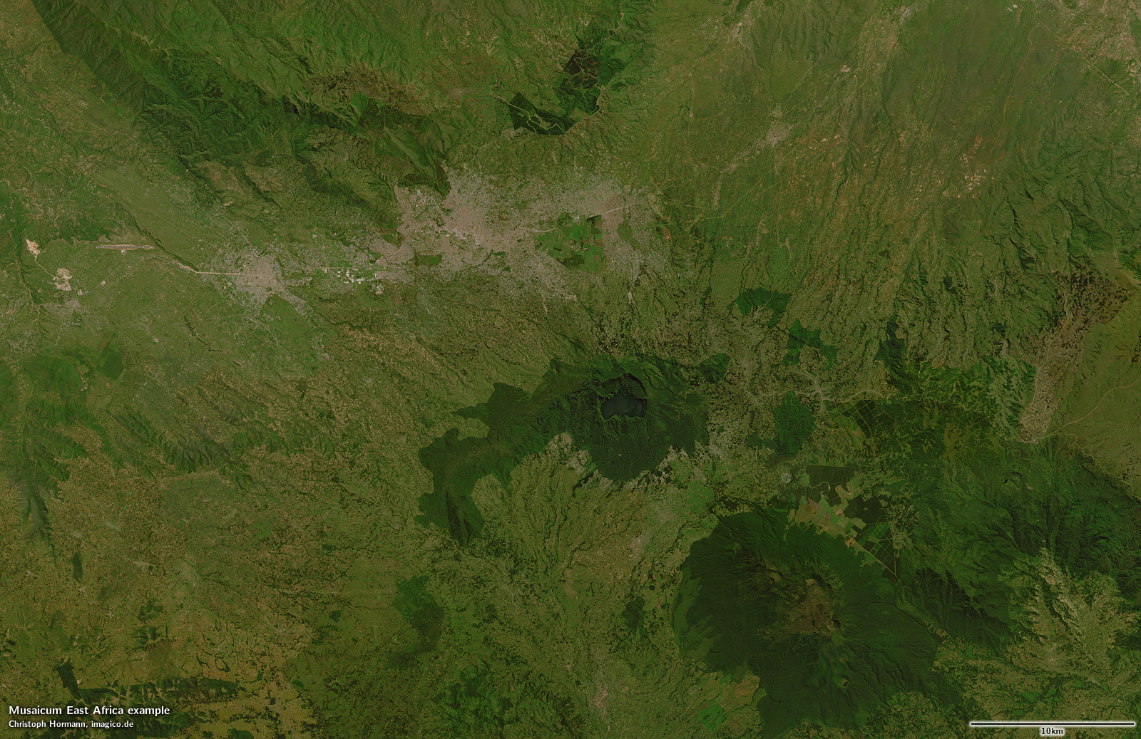
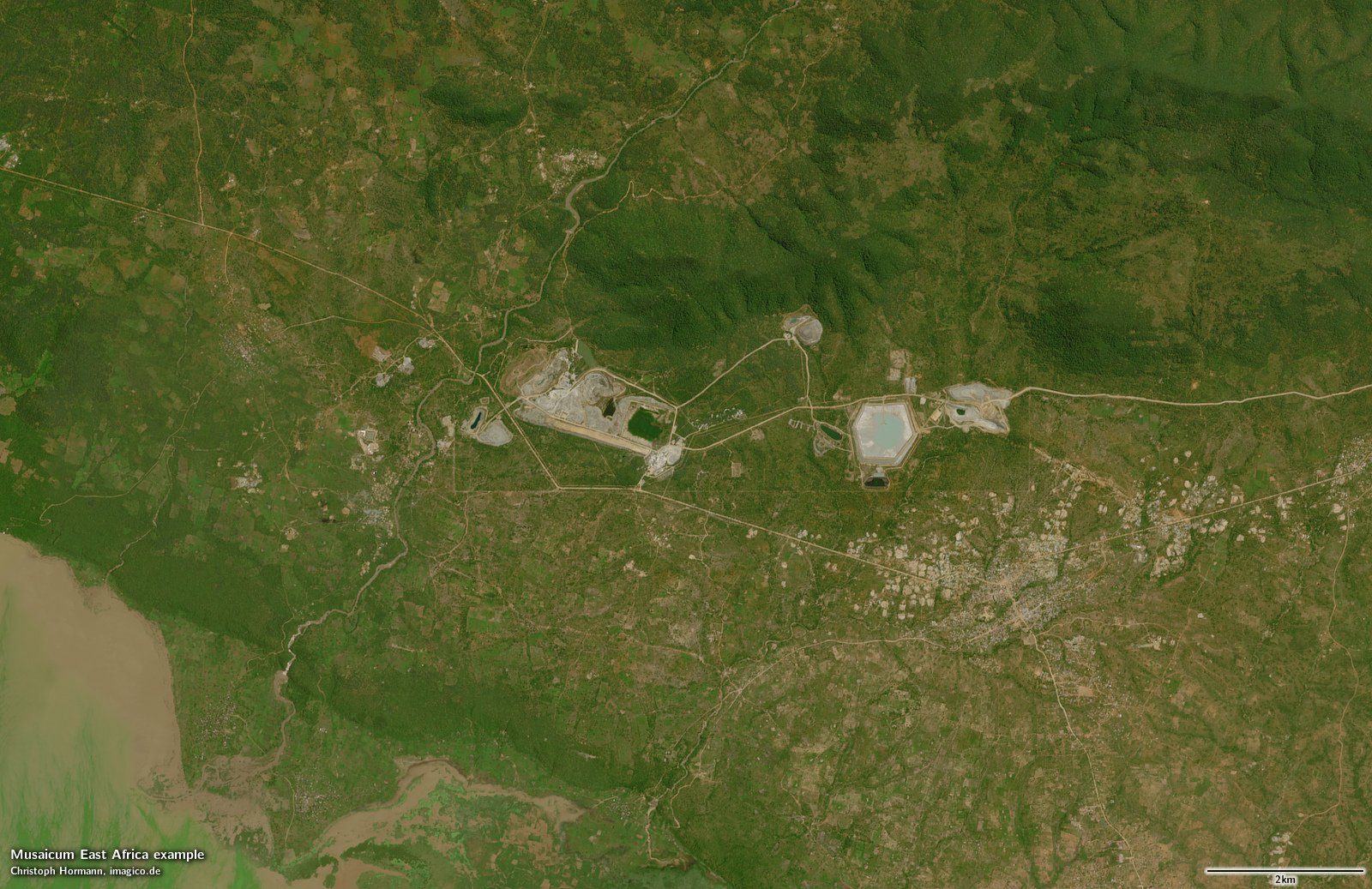
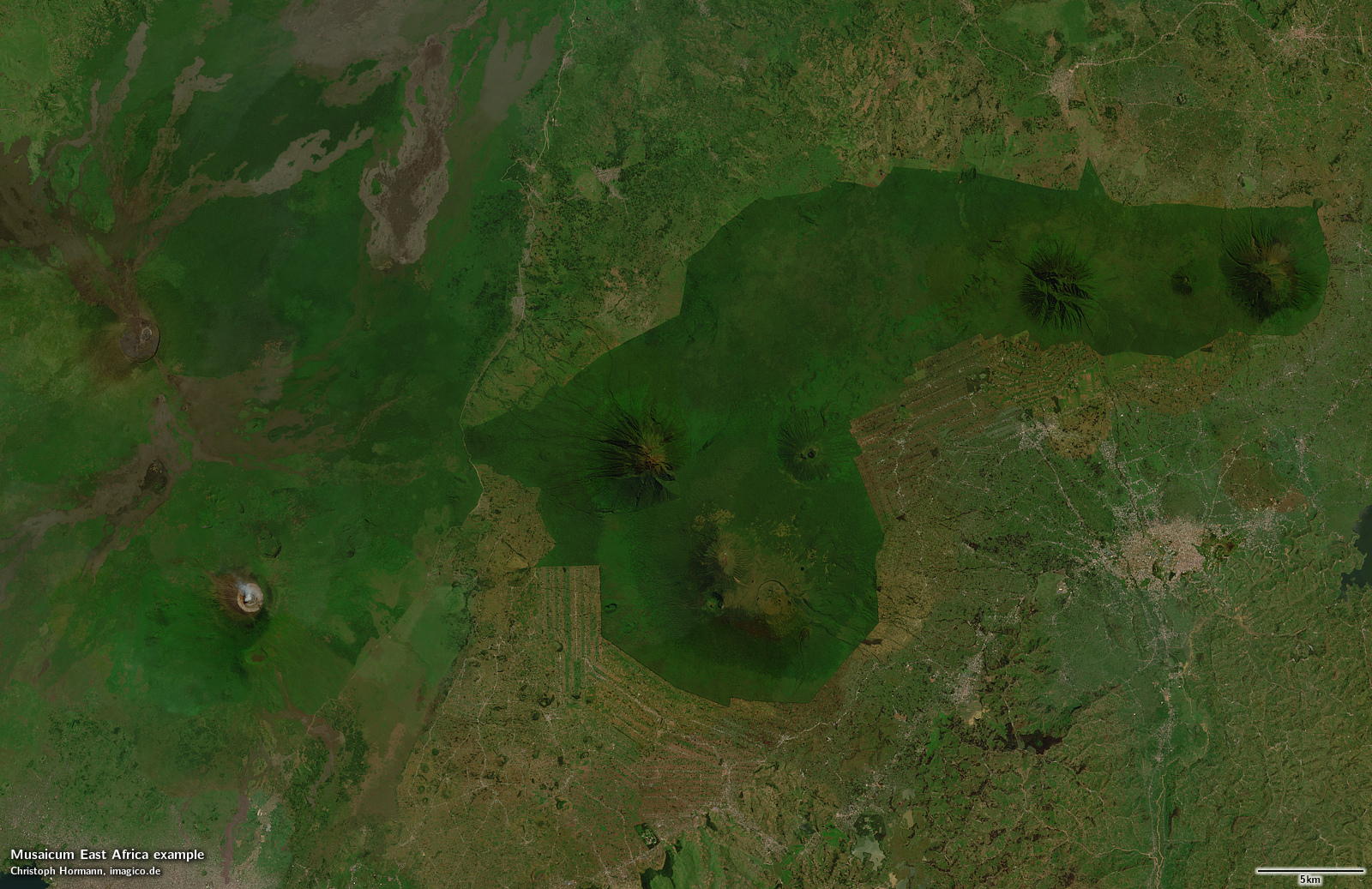
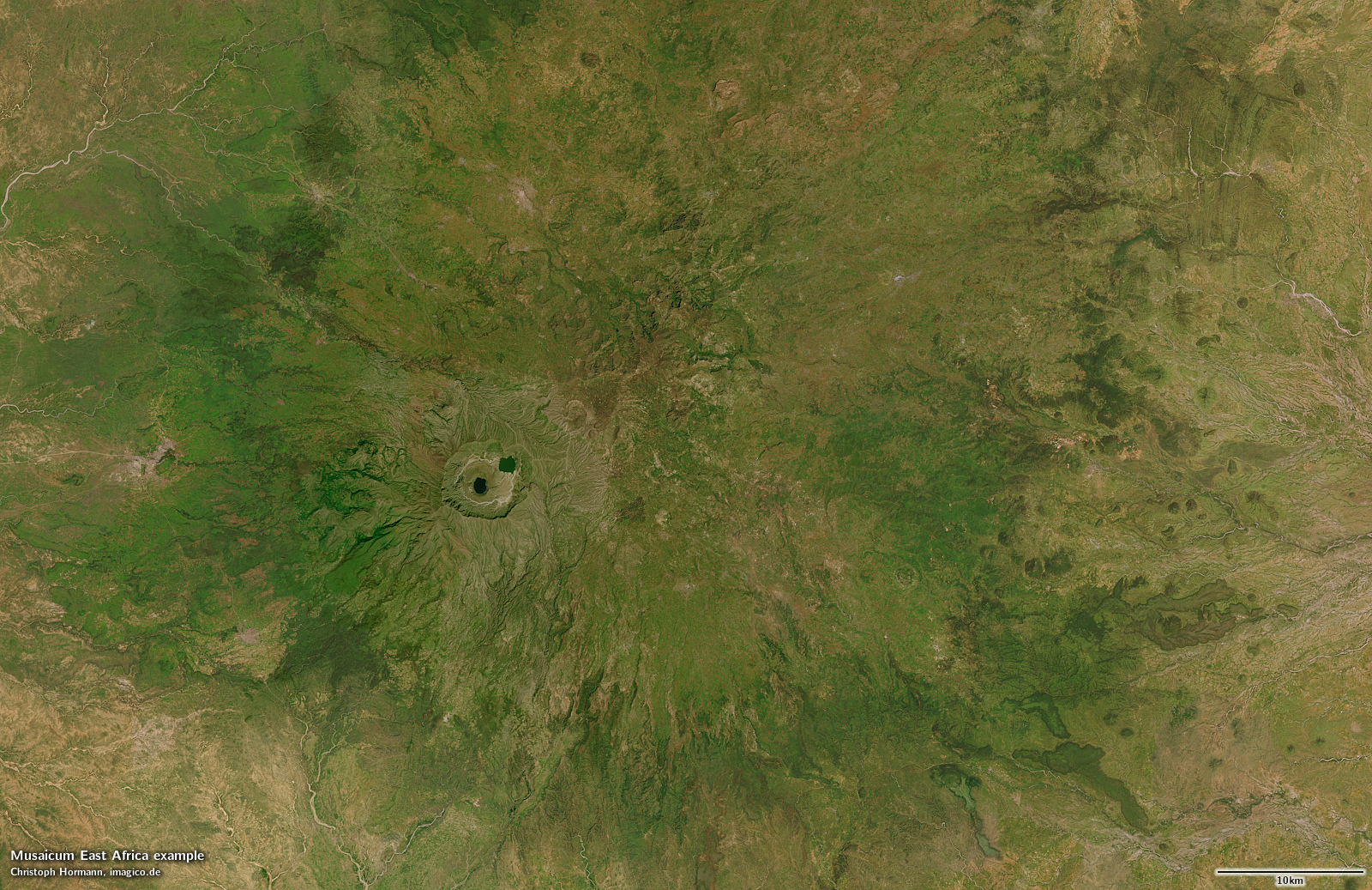
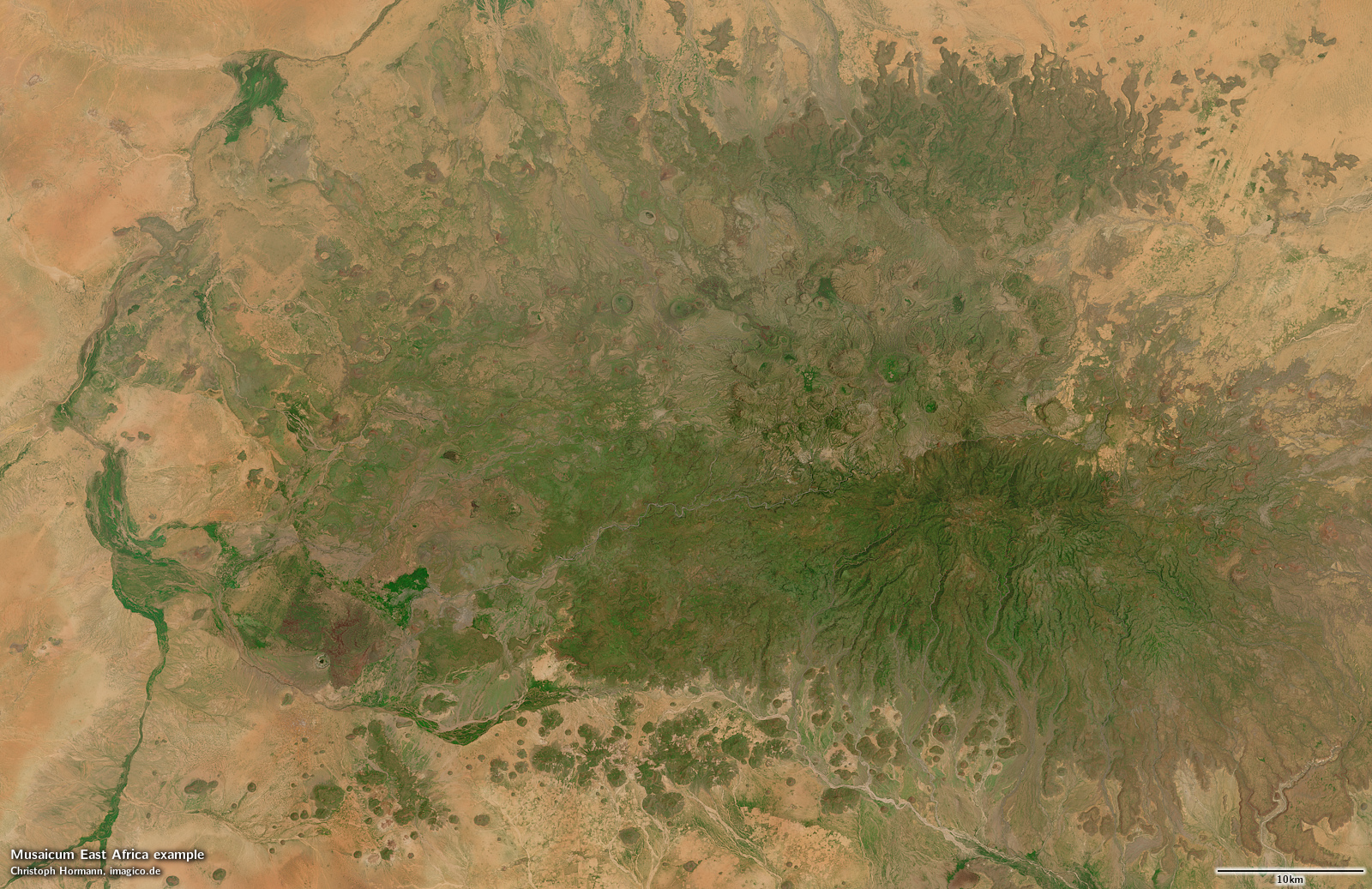
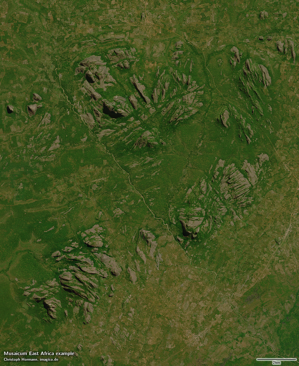
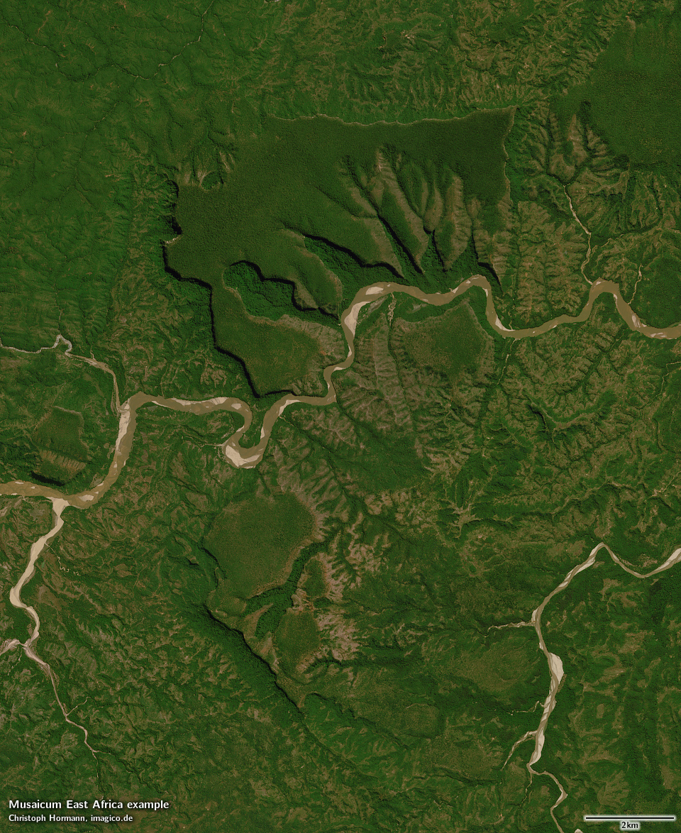
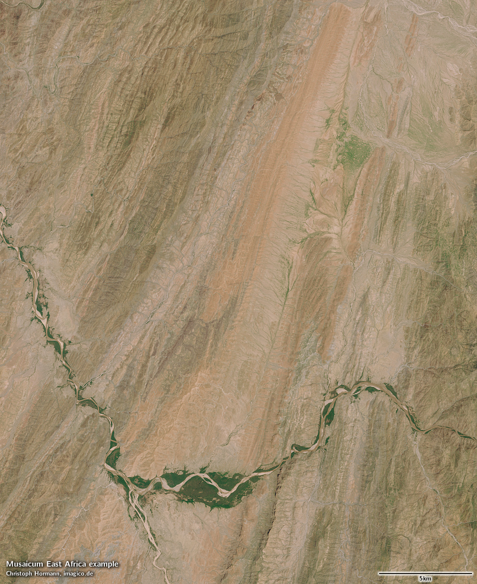
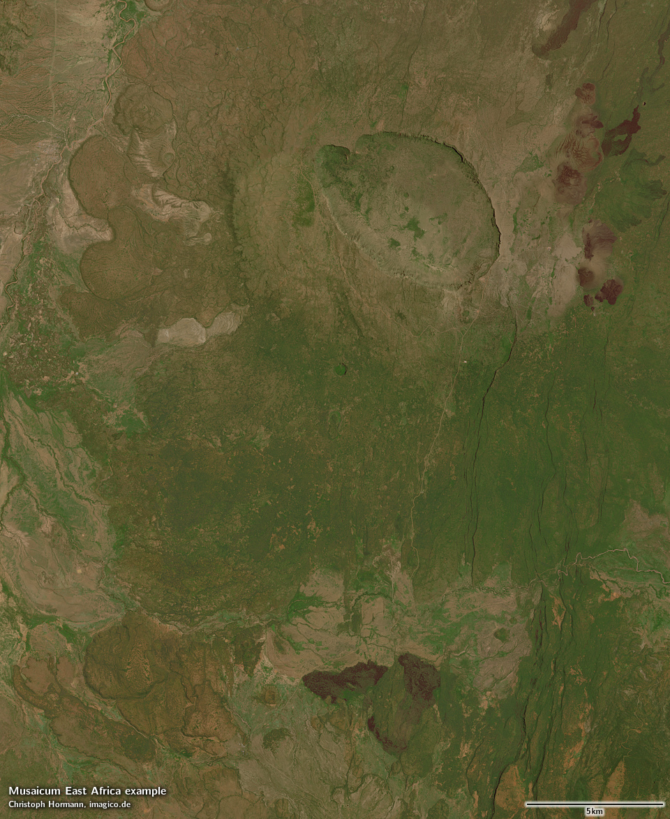
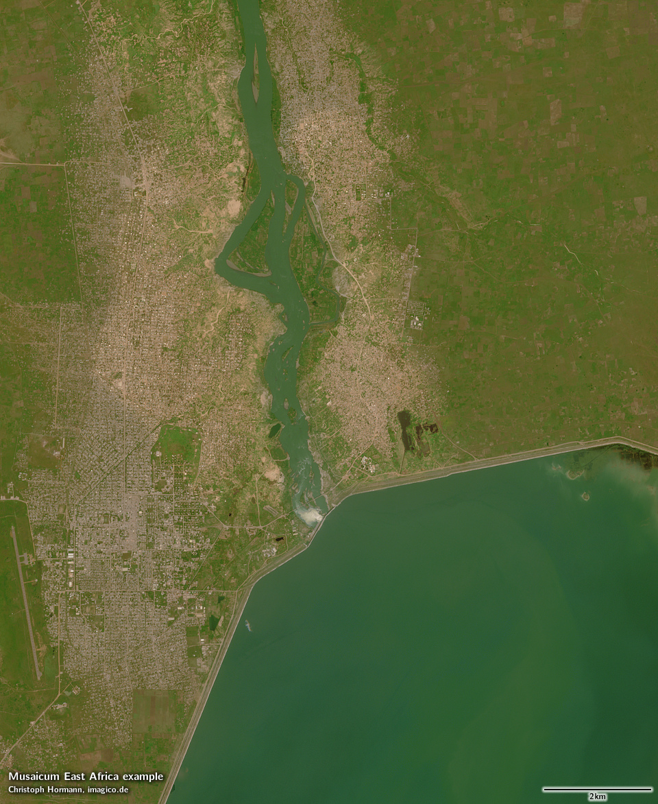
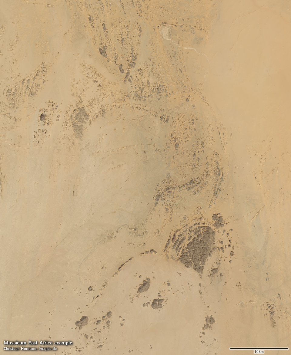
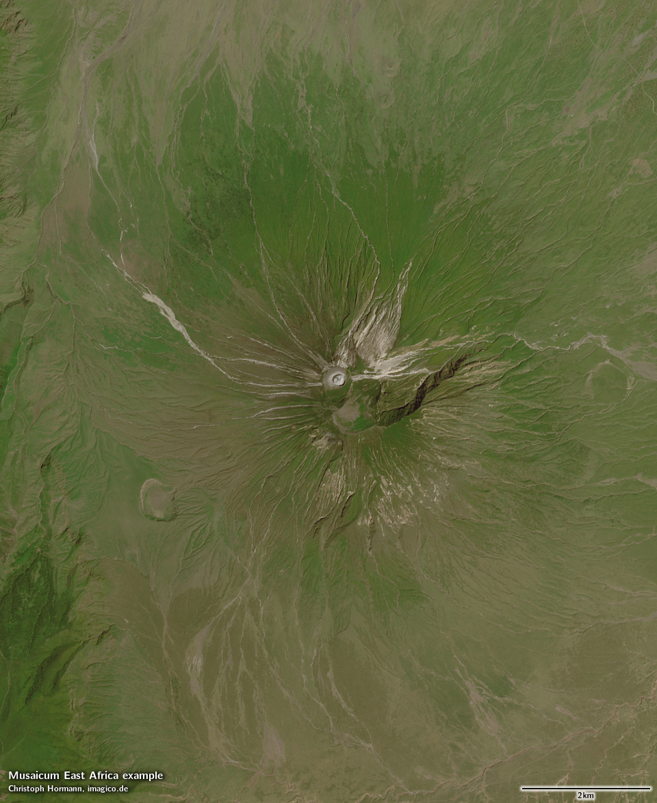
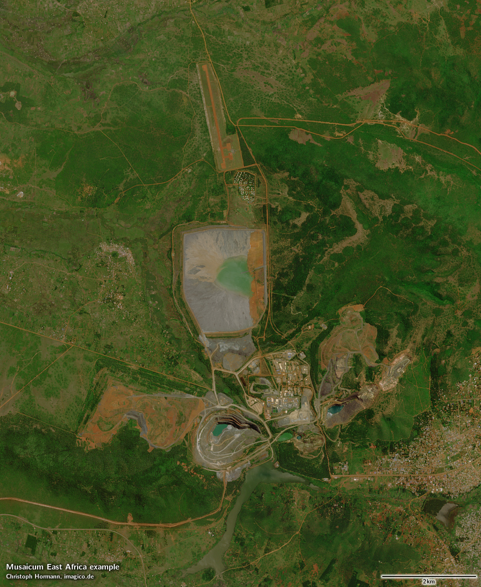
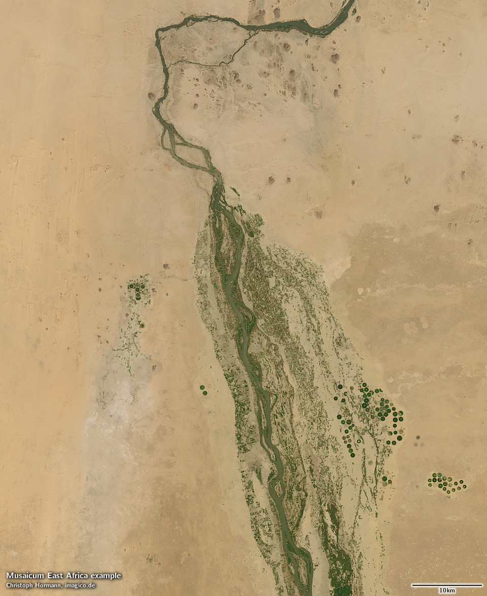
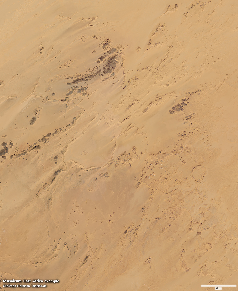
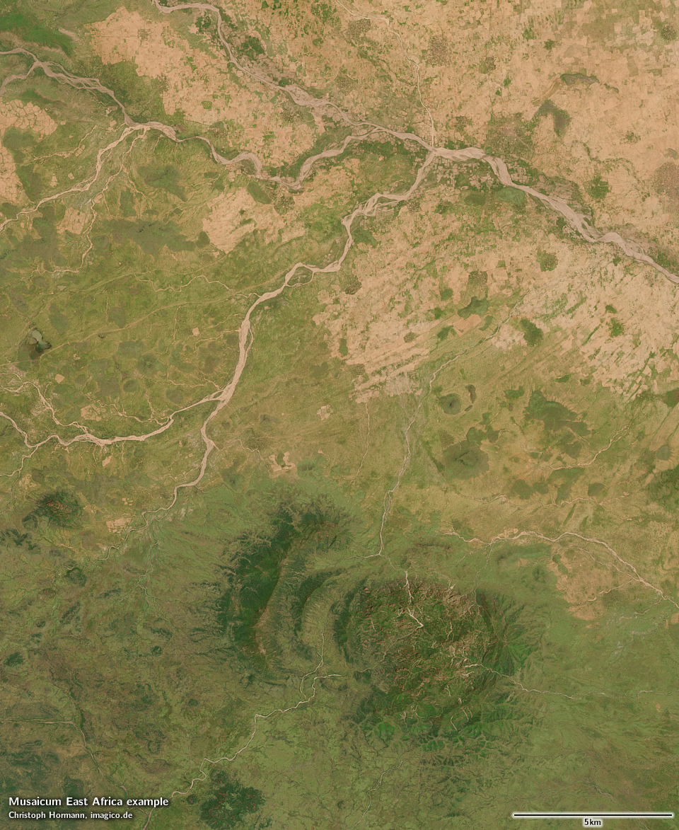
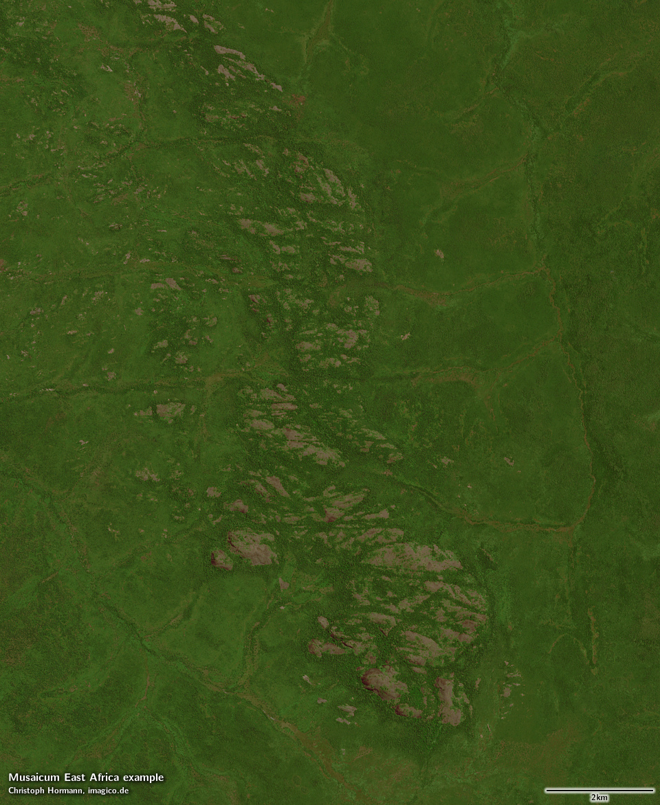
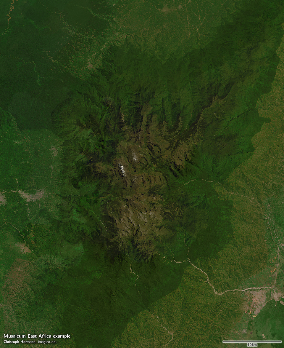
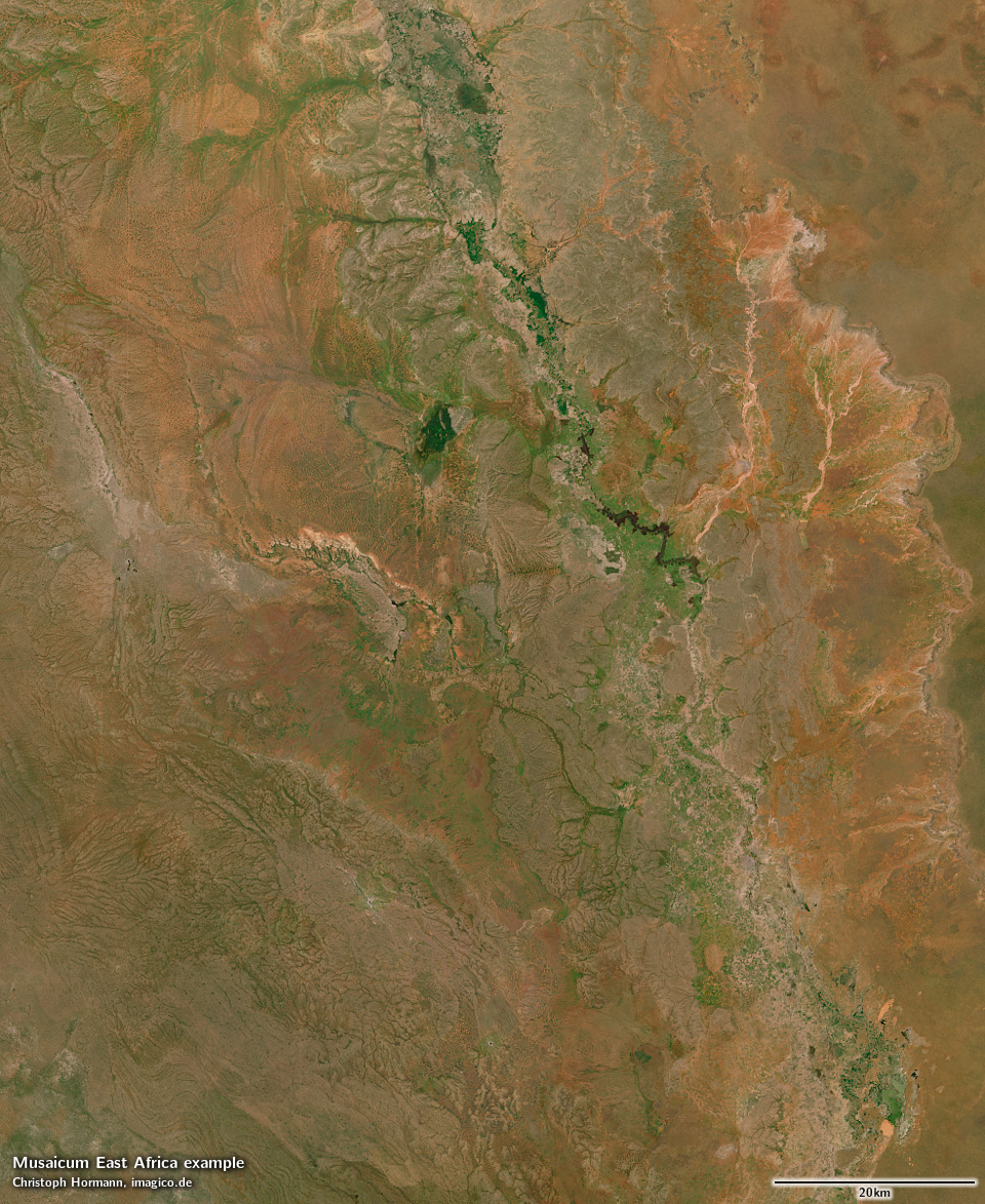
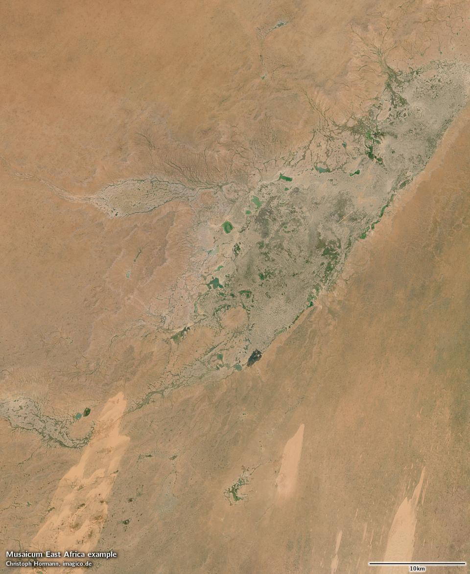
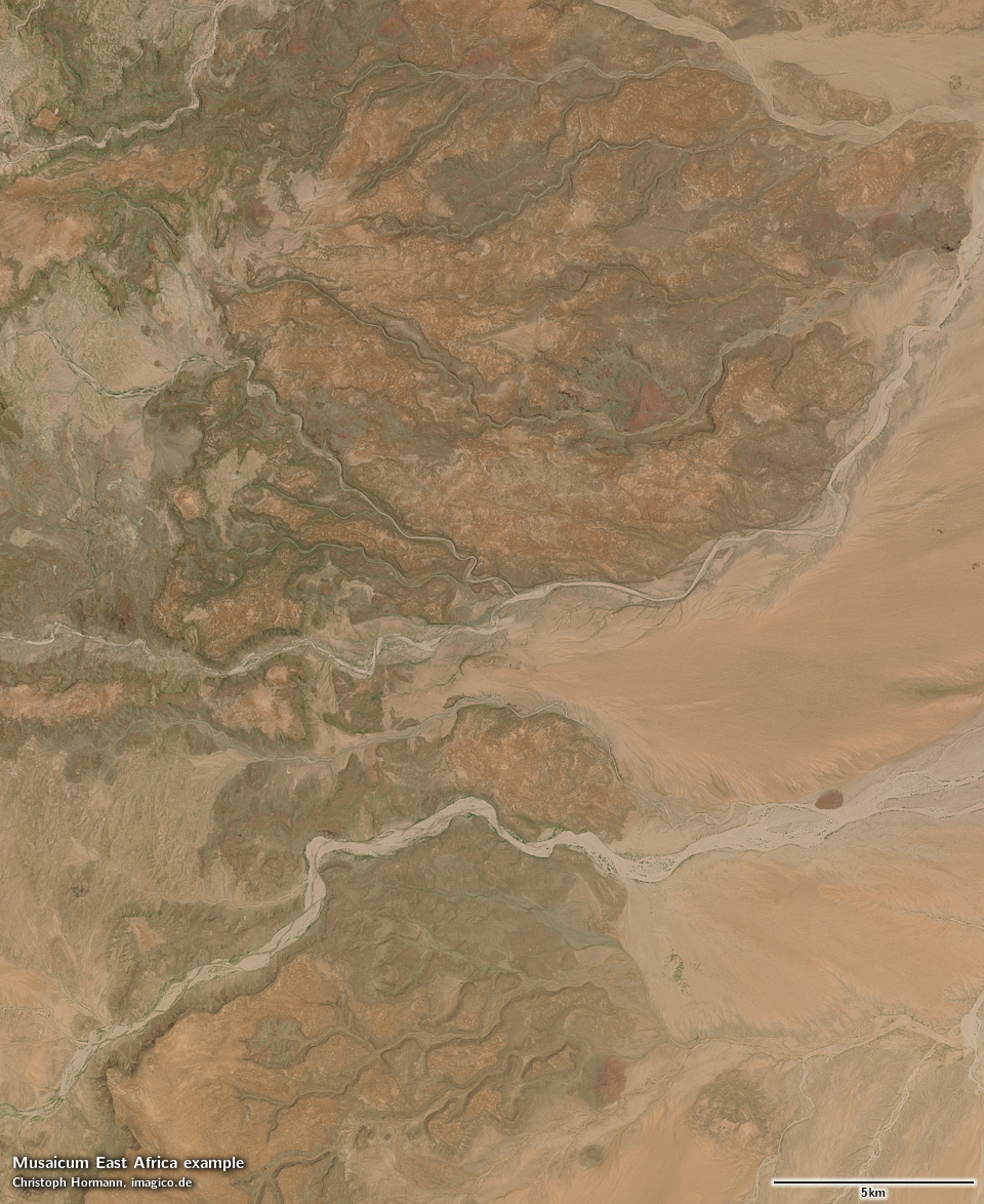
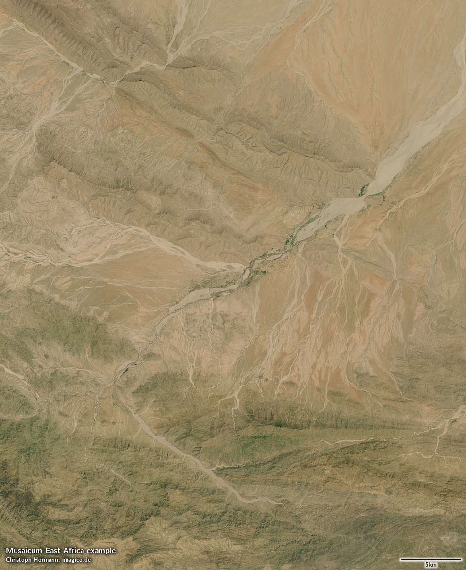
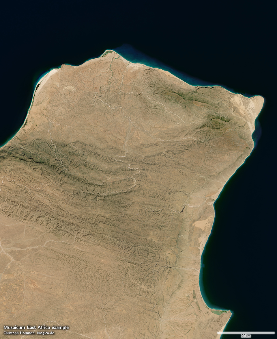
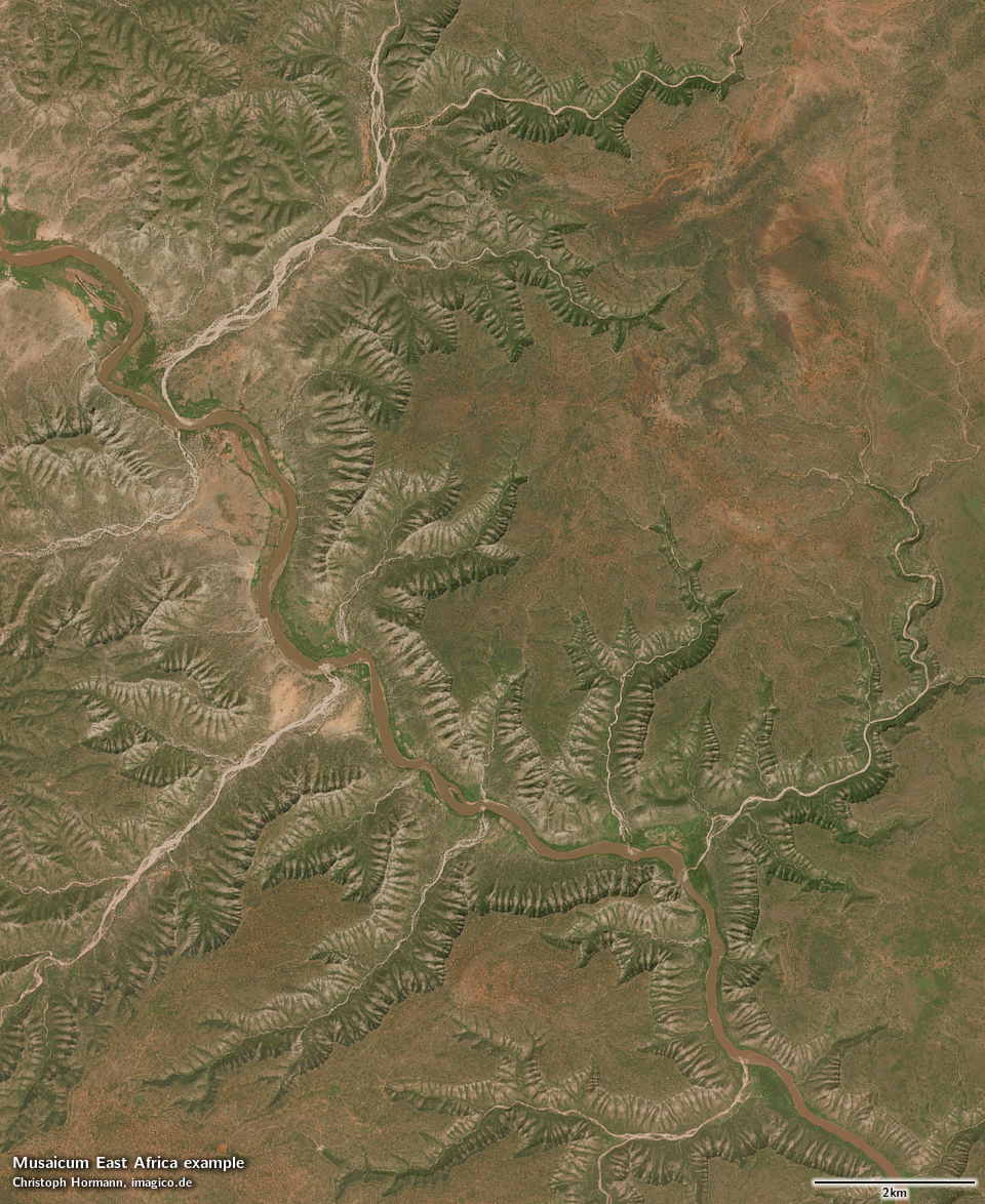
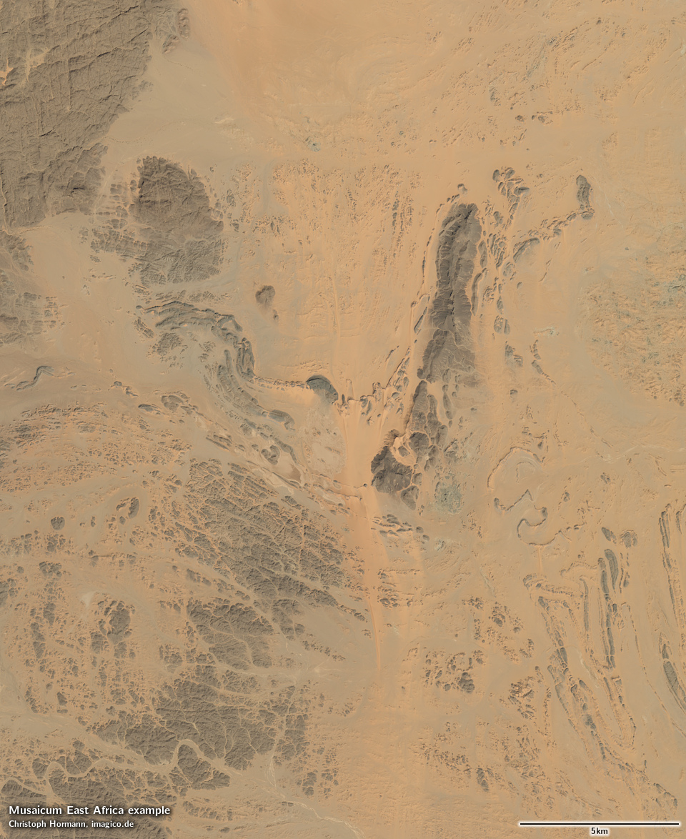
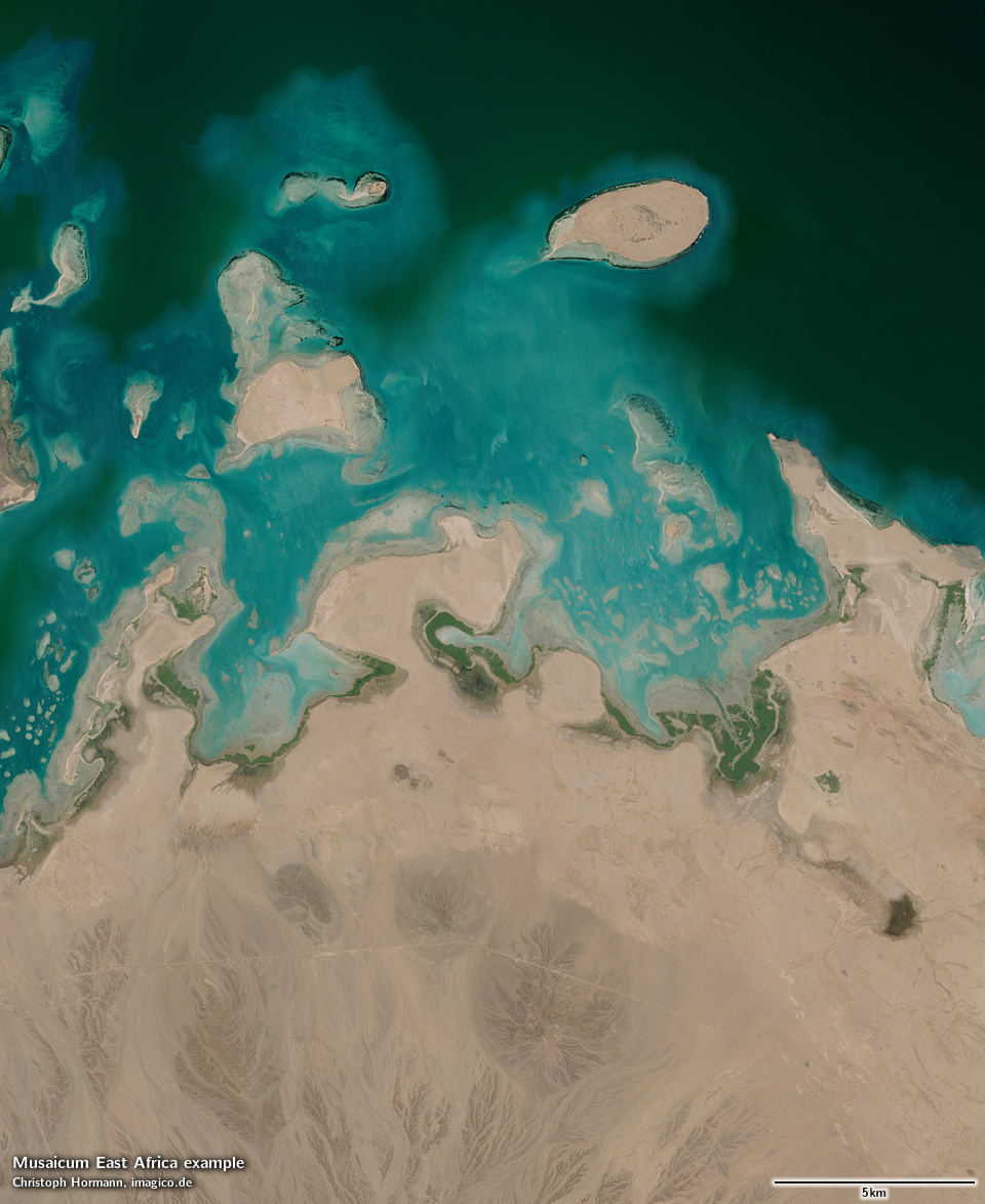
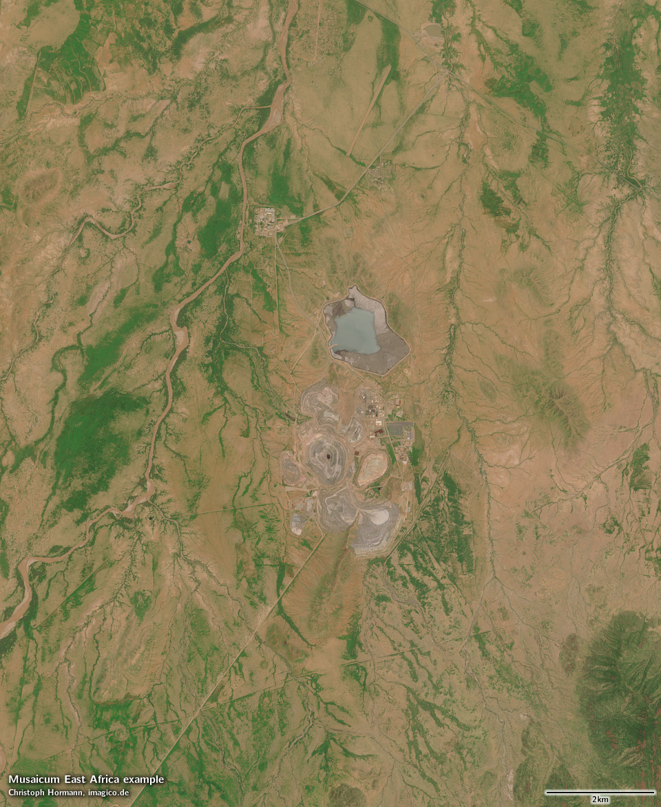
Musaicum East Africa sample: Dar es Salaam, Tanzania Musaicum East Africa sample: Rufiji river, Tanzania Musaicum East Africa sample: Lindi bay and Rondo plateau, Tanzania Musaicum East Africa sample: Zanzibar, Tanzania Musaicum East Africa sample: Mount Meru Musaicum East Africa sample: Lorian swamp, Kenya Musaicum East Africa sample: Chalbi desert, Kenya Musaicum East Africa sample: Audo range, Ethiopia Musaicum East Africa sample: Bale Mountains, Ethiopia Musaicum East Africa sample: Farmland in central Ethiopia Musaicum East Africa sample: Addis Ababa, Ethiopia Musaicum East Africa sample: Upper Shebelle River, Ethiopia Musaicum East Africa sample: Yangudi volcano, Ethiopia Musaicum East Africa sample: Afar triangle, Ethiopia Musaicum East Africa sample: Northern Ethiopian escarpment Musaicum East Africa sample: Simien mountains, Ethiopia Musaicum East Africa sample: Mereb river near Tokombia, Eritrea Musaicum East Africa sample: Baraka river delta near Tokar, Sudan Musaicum East Africa sample: Eastern desert, Sudan Musaicum East Africa sample: Sixth Nile cateract Musaicum East Africa sample: Irrigation farming near Abu Hamad, Sudan Musaicum East Africa sample: Jebel Haraza, Sudan Musaicum East Africa sample: Grand Ethiopian Renaissance Dam Musaicum East Africa sample: Khor Abu Habil delta and Nile near Kosti, Sudan Musaicum East Africa sample: Sudd, South Sudan Musaicum East Africa sample: Imatong mountains, South Sudan Musaicum East Africa sample: Lodwar, Kenya Musaicum East Africa sample: Mpwapwa, Tanzania Musaicum East Africa sample: Mbeya and Mount Rungwe, southern Tanzania Musaicum East Africa sample: New Luika gold mine, southern Tanzania Musaicum East Africa sample: Virunga mountains, Rwanda and Democratic Republic of the Congo Musaicum East Africa sample: Marrah mountains, Sudan Musaicum East Africa sample: Meidob volcanic field, Sudan Musaicum East Africa sample: Libyan desert north of Jebel Tageru, Sudan
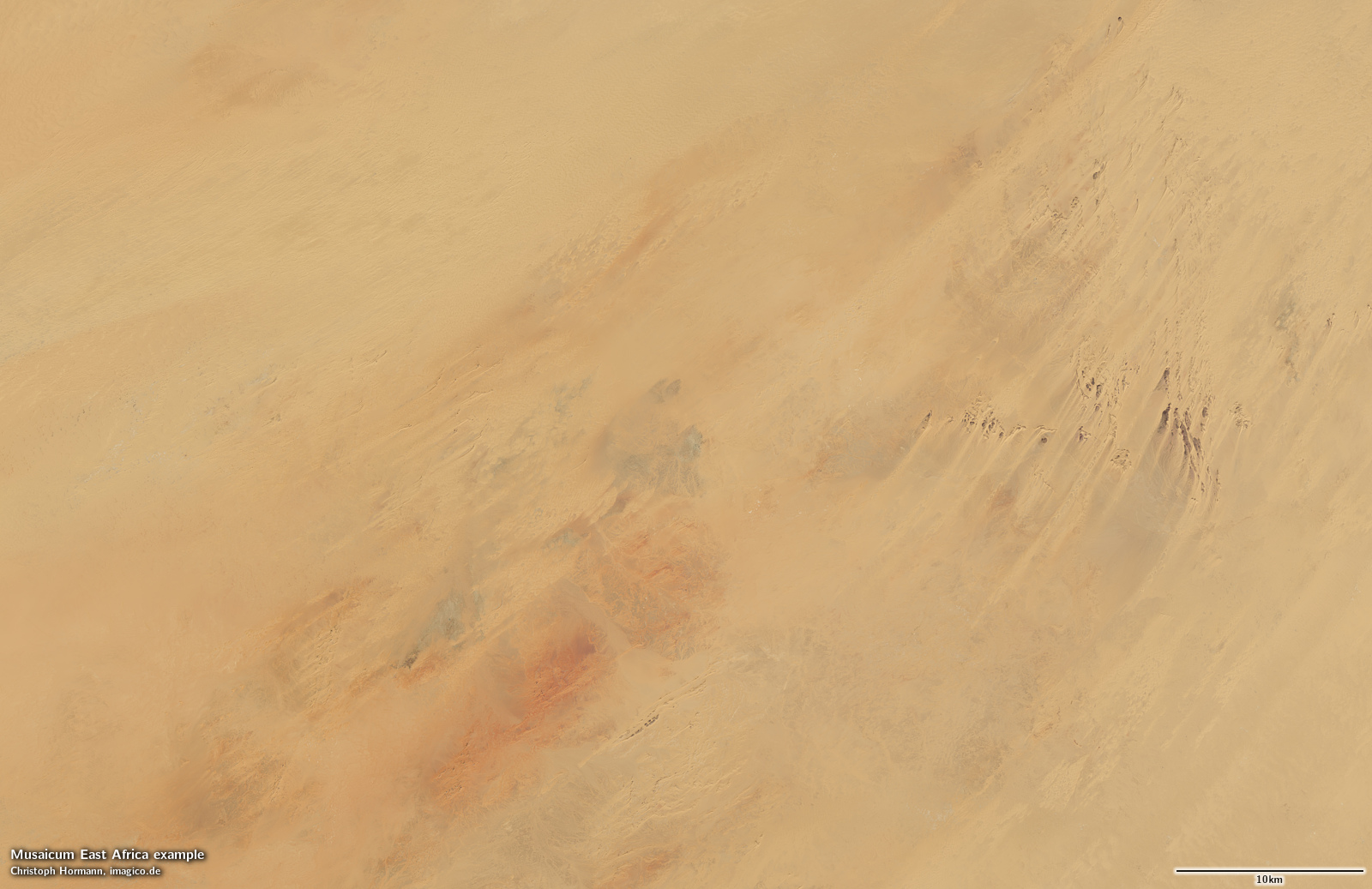
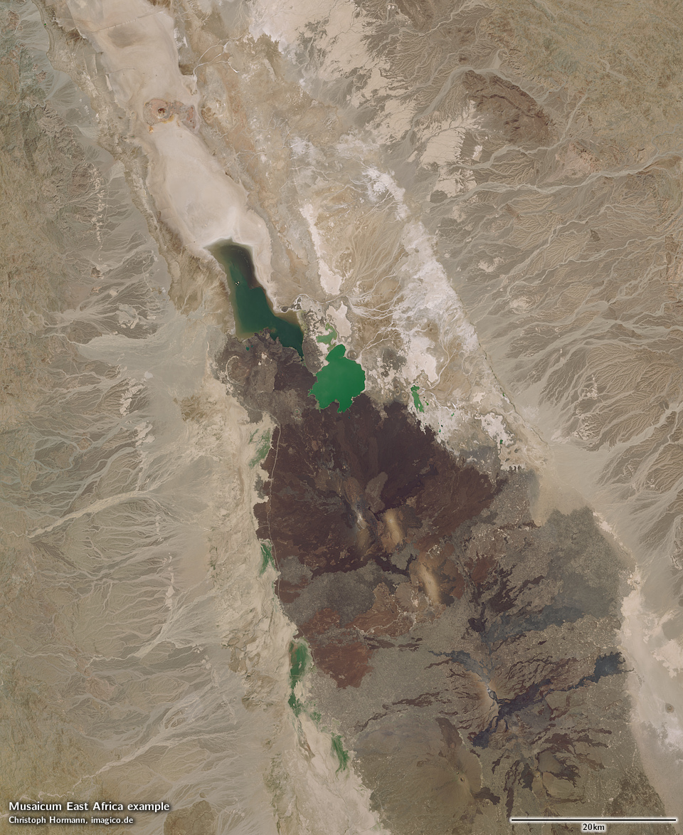
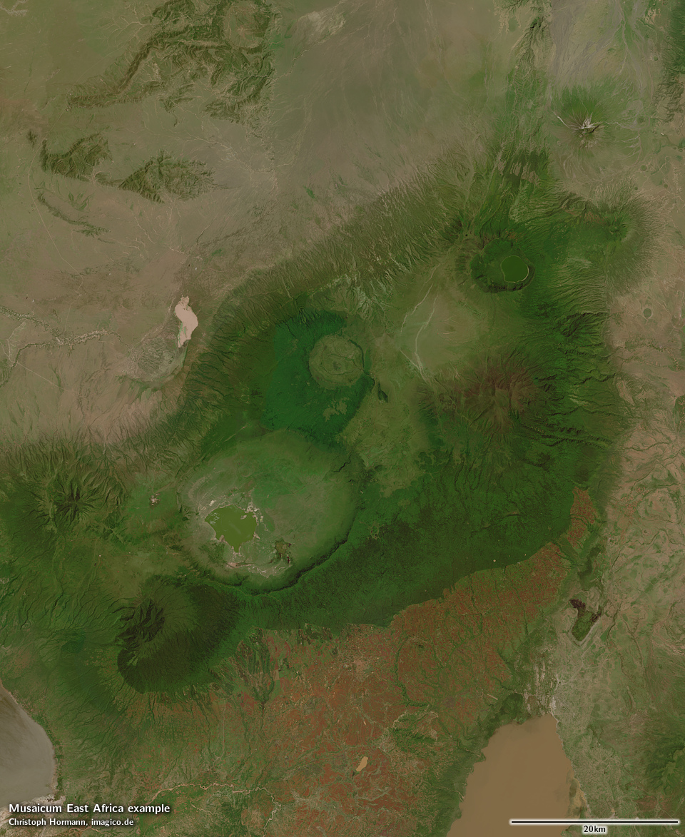
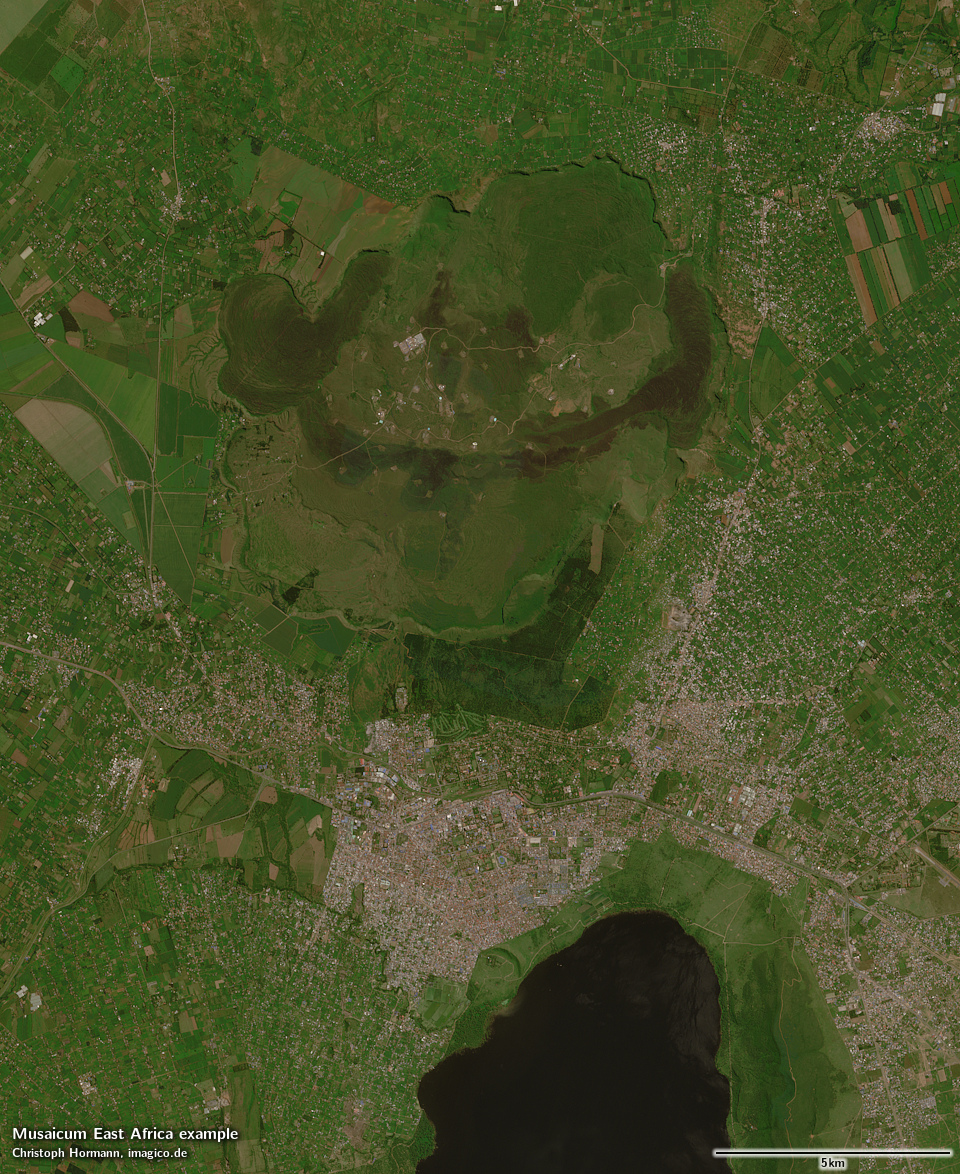
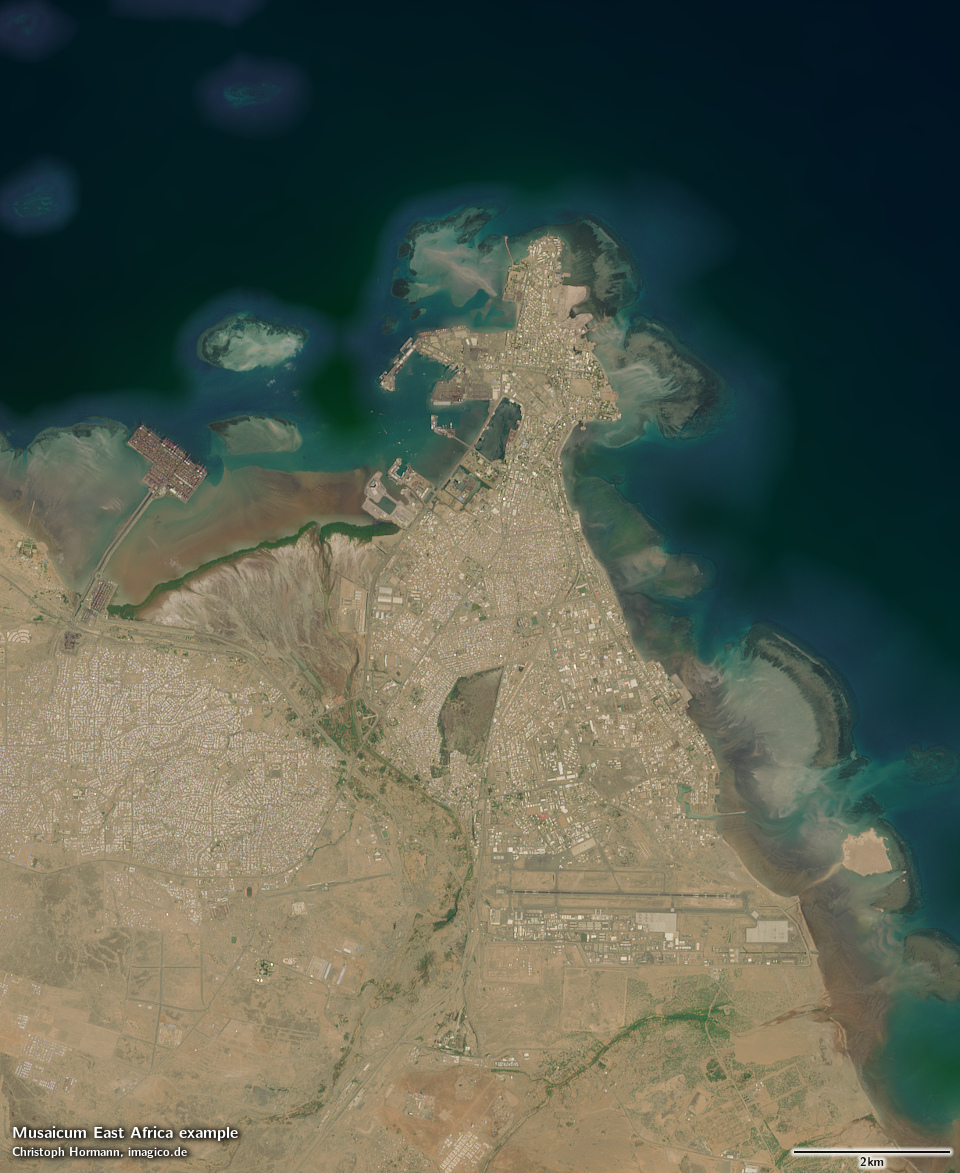
Musaicum East Africa sample: Far southern Tanzania Musaicum East Africa sample: Luwegu river, Tanzania Musaicum East Africa sample: Anseba river, Eritrea Musaicum East Africa sample: Red sea coast in Eritrea Musaicum East Africa sample: Bisha mine, Eritrea Musaicum East Africa sample: Danakil depression with Dallol and Erta Ale Range, northern Ethiopia Musaicum East Africa sample: Lake Tana, Ethiopia Musaicum East Africa sample: Blue Nile canyon, Ethiopia Musaicum East Africa sample: Ndoto mountains, Kenya Musaicum East Africa sample: Kampala, Uganda Musaicum East Africa sample: Mount Silali, Kenya Musaicum East Africa sample: Roseires dam, Sudan Musaicum East Africa sample: Eastern desert, Sudan Musaicum East Africa sample: Ngorongoro Crater Highlands, Tanzania Musaicum East Africa sample: Ol Doinyo Lengai, Tanzania Musaicum East Africa sample: Geita gold mine, Tanzania Musaicum East Africa sample: Nakuru, Kenya Musaicum East Africa sample: Third cataract of the Nile in Sudan Musaicum East Africa sample: Libyan desert in far northwest Sudan Musaicum East Africa sample: Eastern Marrah mountains, Sudan Musaicum East Africa sample: Mountains in South Sudan Musaicum East Africa sample: Rwenzori mountains Musaicum East Africa sample: Mount Kenya, Kenya Musaicum East Africa sample: Mount Kilimanjaro, Tanzania Musaicum East Africa sample: Garissa and Tana River, Kenya Musaicum East Africa sample: Mogadishu, Somalia Musaicum East Africa sample: Lower Shebelle river, Somalia Musaicum East Africa sample: Central Somalia Musaicum East Africa sample: Somalia/Ethiopia/Djubouti border Musaicum East Africa sample: Djubouti Musaicum East Africa sample: Durdur river, Somalia Musaicum East Africa sample: Cape Guardafui, Somalia Musaicum East Africa sample: Genale river, Ethiopia Musaicum East Africa sample:Eastern desert, Sudan

Musaicum East Africa license inquiry
You can use this form to make your inquiry. If you prefer you can also make your inquiry via email of course, at your option also with encryption).
human verification Please enter the code you can see in the image on the left to verify you are a human and not a spamming script.
* * Required field
Information about you
*
*
*
*
*
*
*
Information about you
Providing more detail on you up front can expedite the ordering process.
*
*
I accept the privacy policy. *
What you are interested in

Tone mapped image mosaic with default tone mapping and alpha channel for seamless ocean blending
Mosaic with shading compensation
Linear surface reflectance data for custom processing
Vegetation map

Needed projection:
Required resolution:
Your Musaicum East Africa license inquiry

Please add any further details concerning your inquiry here:

Blog news:

The Musaicum East Africa (17 Oct 2026)
Communication is hard (24 Sep 2026)

Todays featured image:

Whole earth in January with sea ice (Europe)
Whole earth view in northern hemisphere winter with sea ice, focusing on Europe with the Middle East and North Africa prominently visible. [more]
Design and Content Copyright 2026 by Christoph Hormann
last updated Sat, 17 Oct 2026 22:23