Imagico.de
The Musaicum Greenland
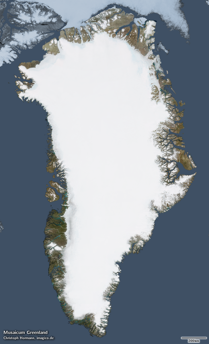
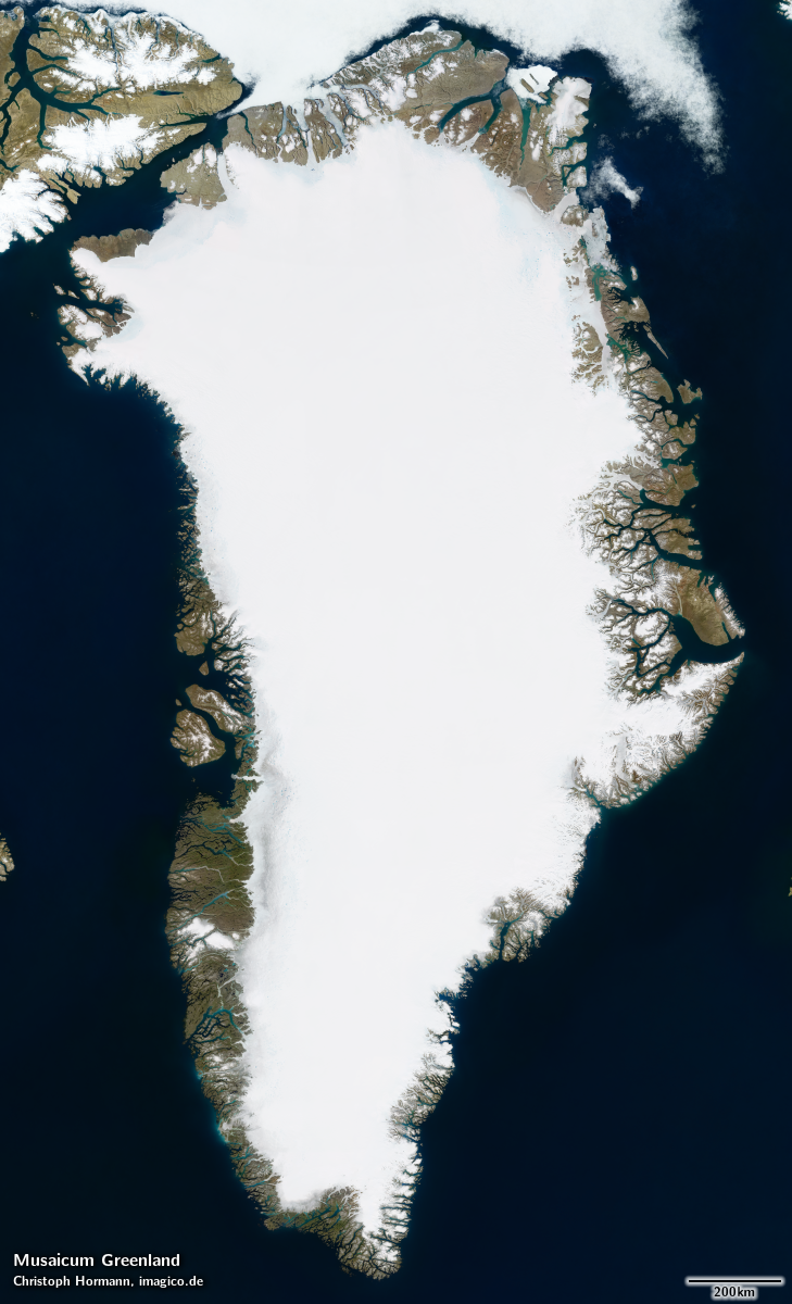
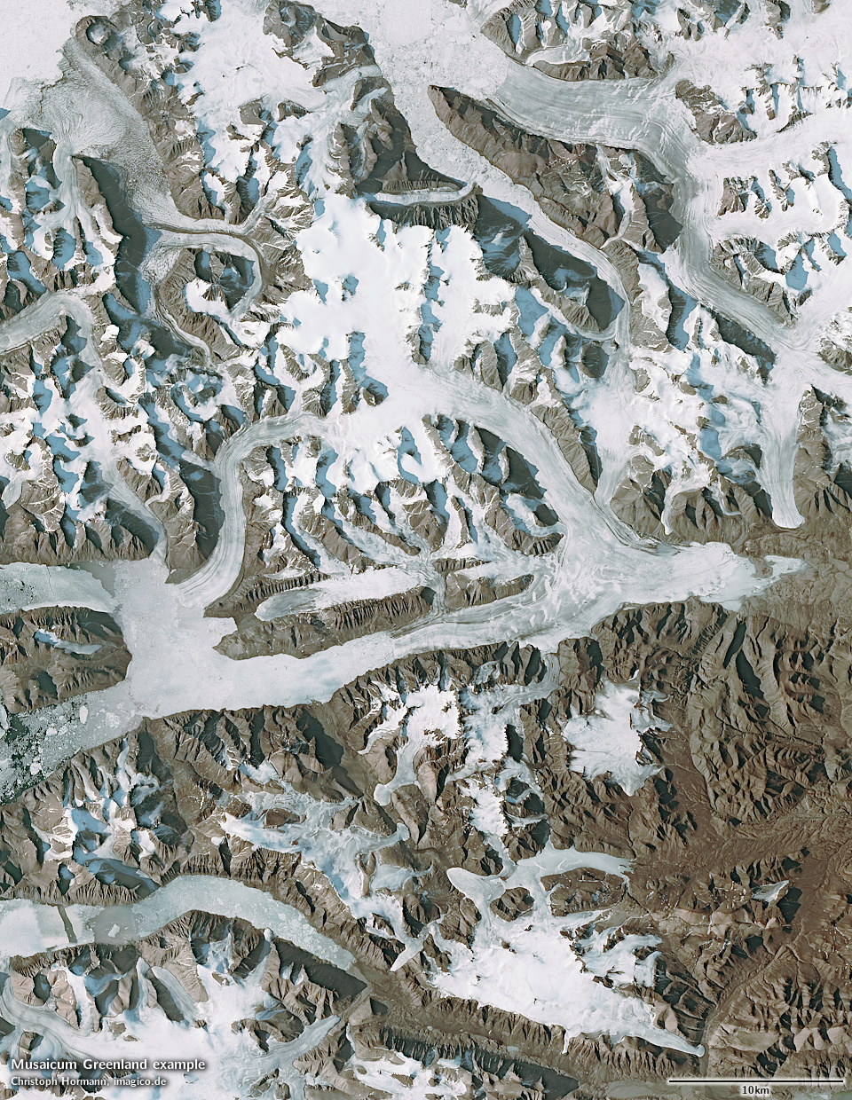
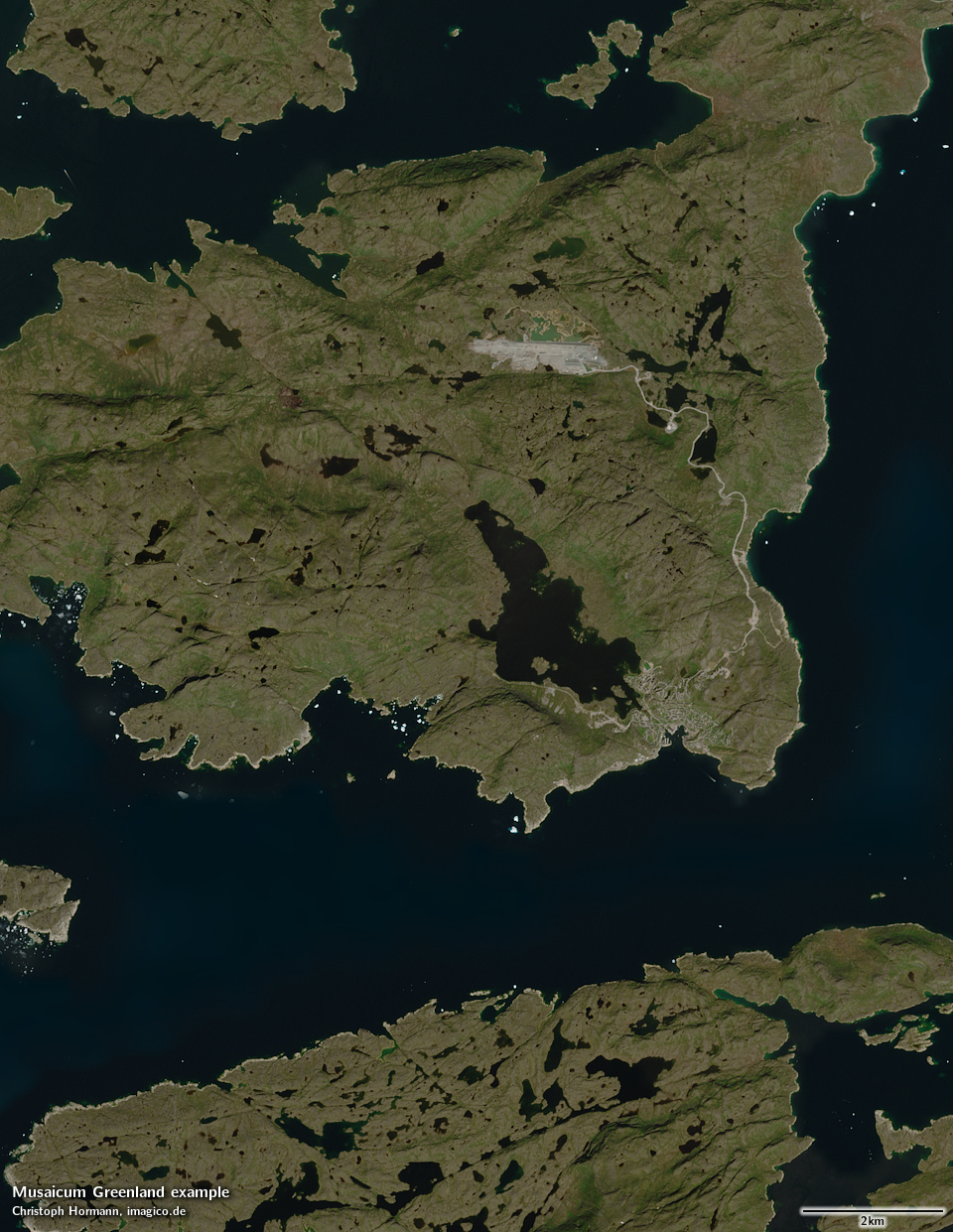
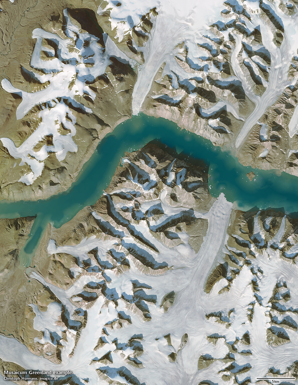
The Musaicum Greenland is a regional visible color satellite image mosaic of Greenland with a ground resolution of 10m. It combines recent Sentinel-2 and Landsat satellite imagery into the highest quality and most cloud free depiction of the region in this resolution class available today.
Sentinel-2 coverage extends north up to 82.81 degree latitude. Further north Landsat data is used.
It is generated using a classical mosaicing process derived from the methods and techniques developed for local mosaics, but with a high degree of automatization. This eliminates most of the time intensive manual steps, while maintaining high quality standards.
Compared to the Green Marble, the Musaicum Greenland offers much higher spatial resolution (10m compared to 250/300m) at the cost of slightly more heterogeneous coloring due to the smaller data basis. Cloud occurrence is comparable to my hand produced local mosaics with less than about one in 100k pixels significantly affected by clouds.
Compared to the Musaicum EU-Plus, the Musaicum West Asia, the Musaicum United States and the Musaicum East Asia, aggregation techniques have been further improved, in particular adjusting to the polar regions setting, depicting the Greenland ice sheet and integrating Landsat data in addition to Sentinel-2 imagery.
Primary data source for the image is Sentinel-2 imagery from 2022 to 2025, in smaller parts also from 2018 to 2021. Landsat images for the far north come from 2018-2023.
Key properties
- Visible color mosaic of Greenland
- 10m base resolution
- Based on Sentinel-2 data from 2018 to 2025, supplemented by Landsat images from 2018 to 2023 north of 82.81 degree latitude
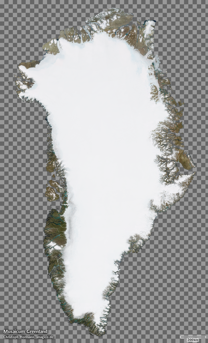
- Includes full coverage of the ice sheet and and coastal waters, no coverage of the open ocean
- Shows atmosphere compensated surface color, available either as linear surface reflectance values or tone mapped for direct display
- Available with illumination as recorded and with shading compensation, optionally with local contrast enhancement.
Product packaging
The mosaic is produced in different projections for different parts of the coverage area and is assembled in the target projection on demand. The previews of the whole mosaic shown here are in Polar stereographic projection.
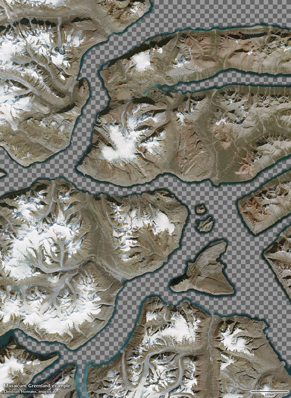
The standard form of distribution of this mosaic is with an alpha channel for seamless blending with a background image for the open ocean - like the Green Marble. This is illustrated in the samples below. Other variants can be produced on request.

Product options
In addition to the mosaic with illumination as recorded - which is the recommended version for direct visual applications - this mosaic is also available in a shading compensated version, where the differences in illumination due to the topography and shadows cast by mountains are compensated for. This version can be used, for example, in applications where a synthetic illumination is used to generate a custom shading effect.
Supplementary to the visual color mosaic a vegetation data set is available with the same coverage and source data, documenting the fractional herbaceous and woody vegetation as well as fractional water cover for every 10m pixel.
Specifically for the Greenland mosaic also local contrast enhanced version of the image can be prepared using contrast limited adaptive histogram equalization (CLAHE) - matching a similar option already available for the Comprehensive Optical Mosaic of the Antarctic (COMA).
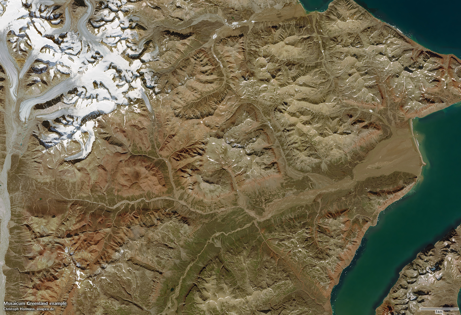
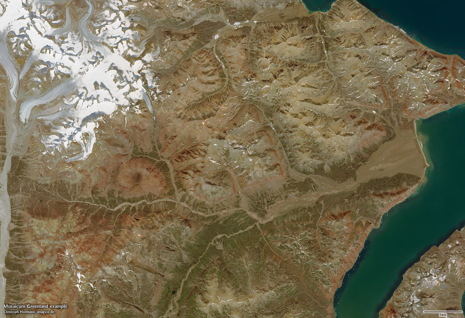
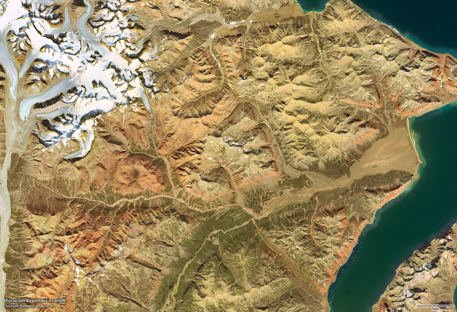
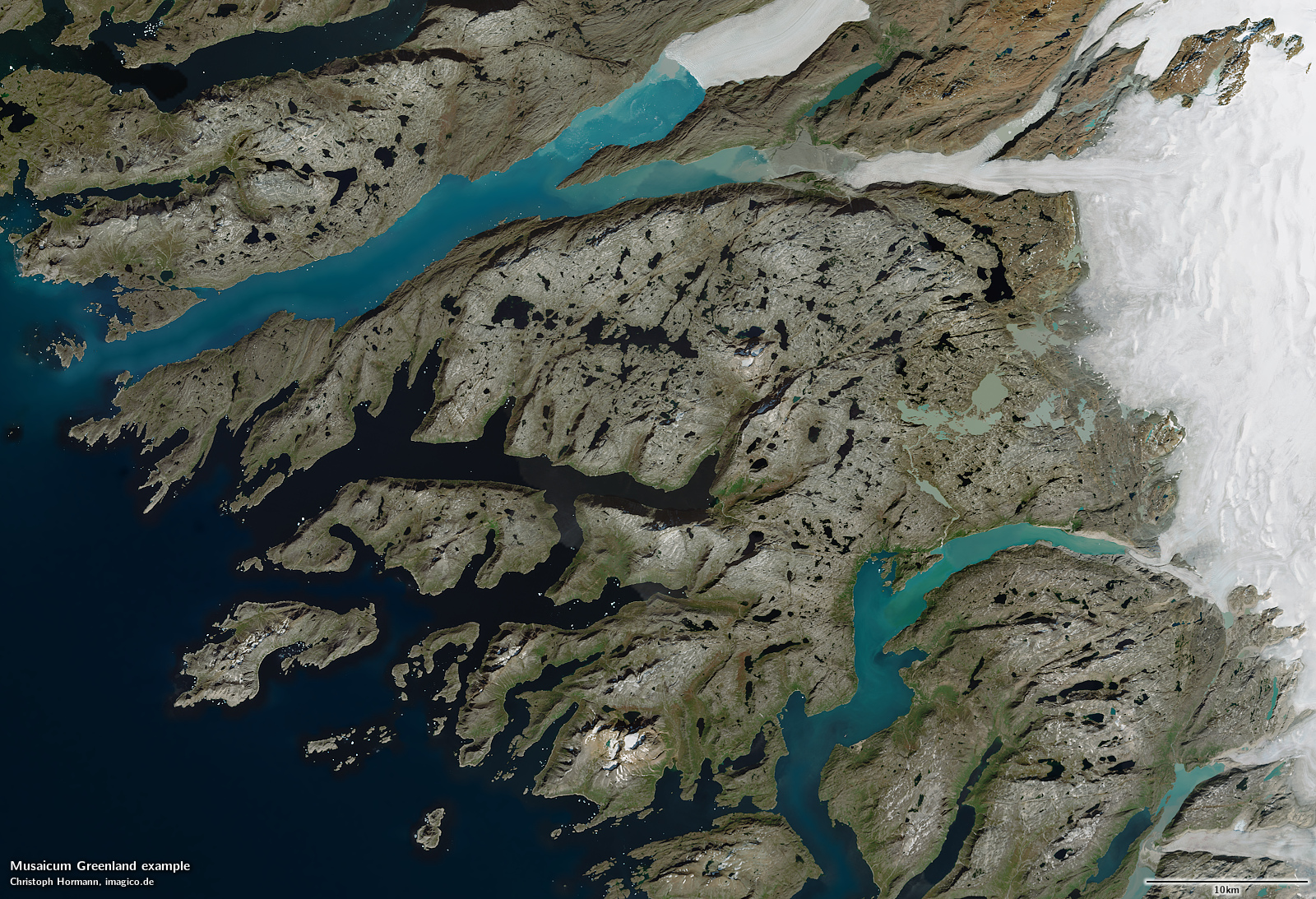
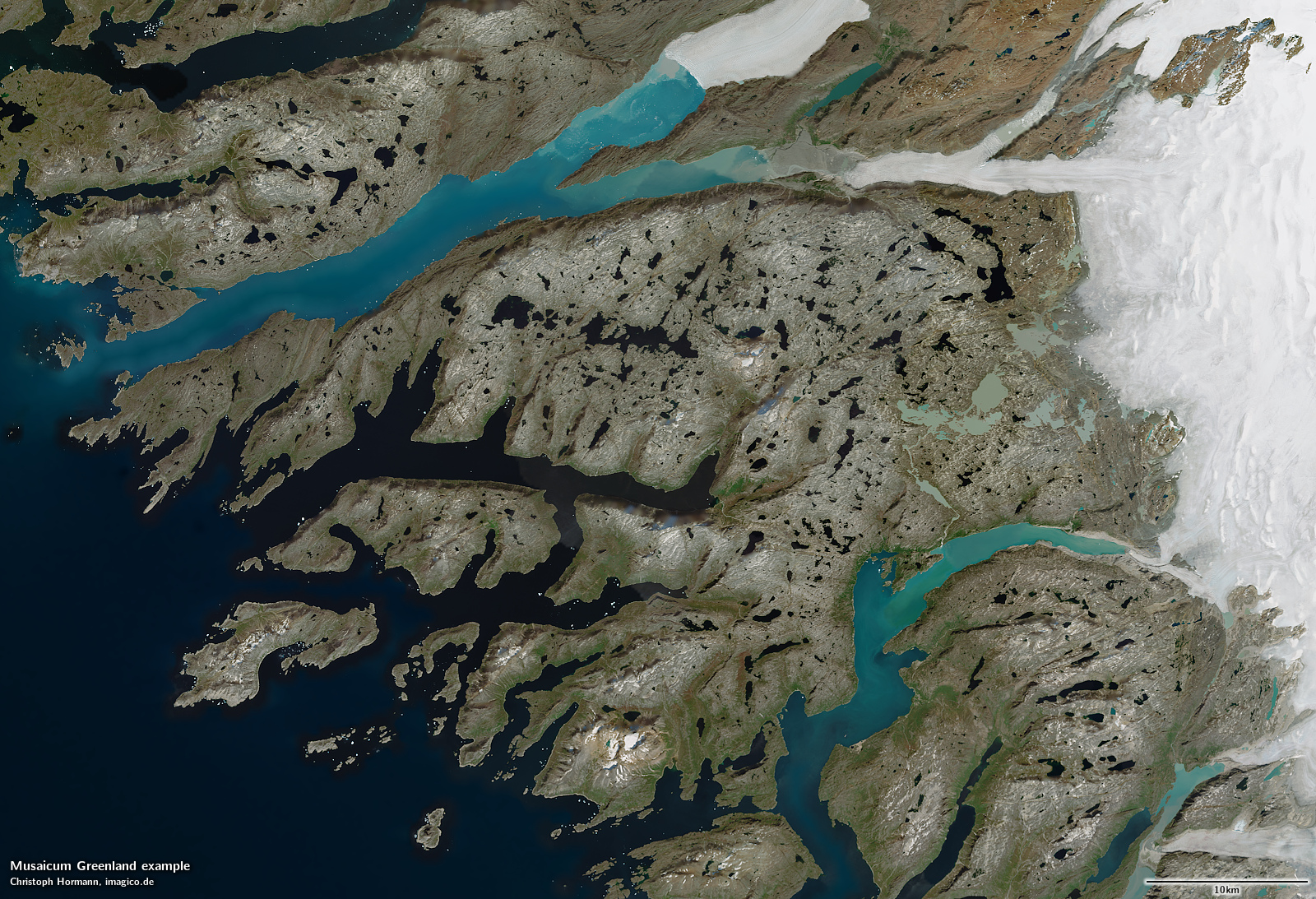
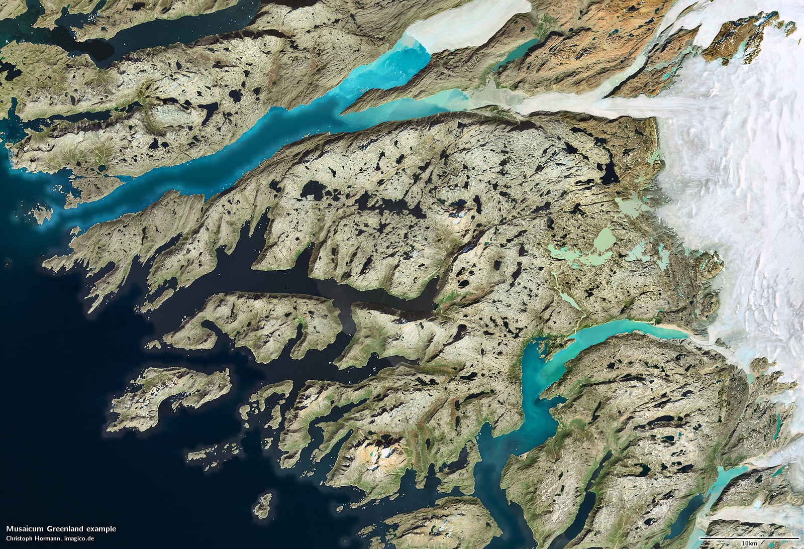


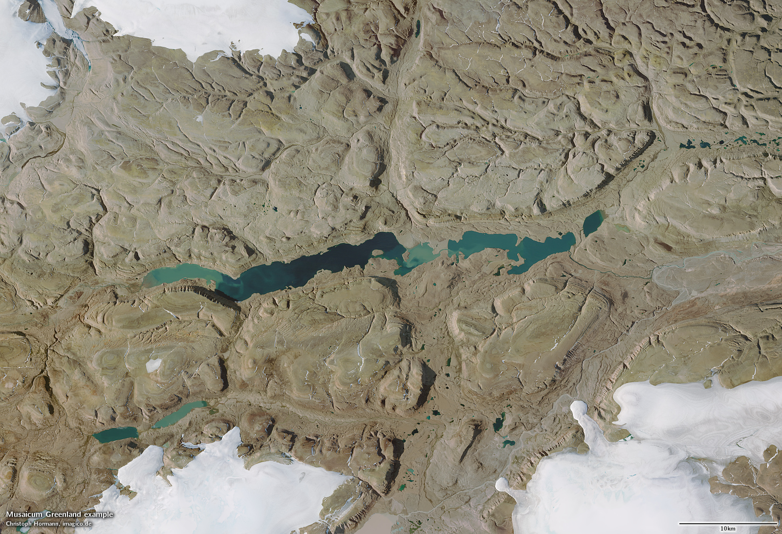
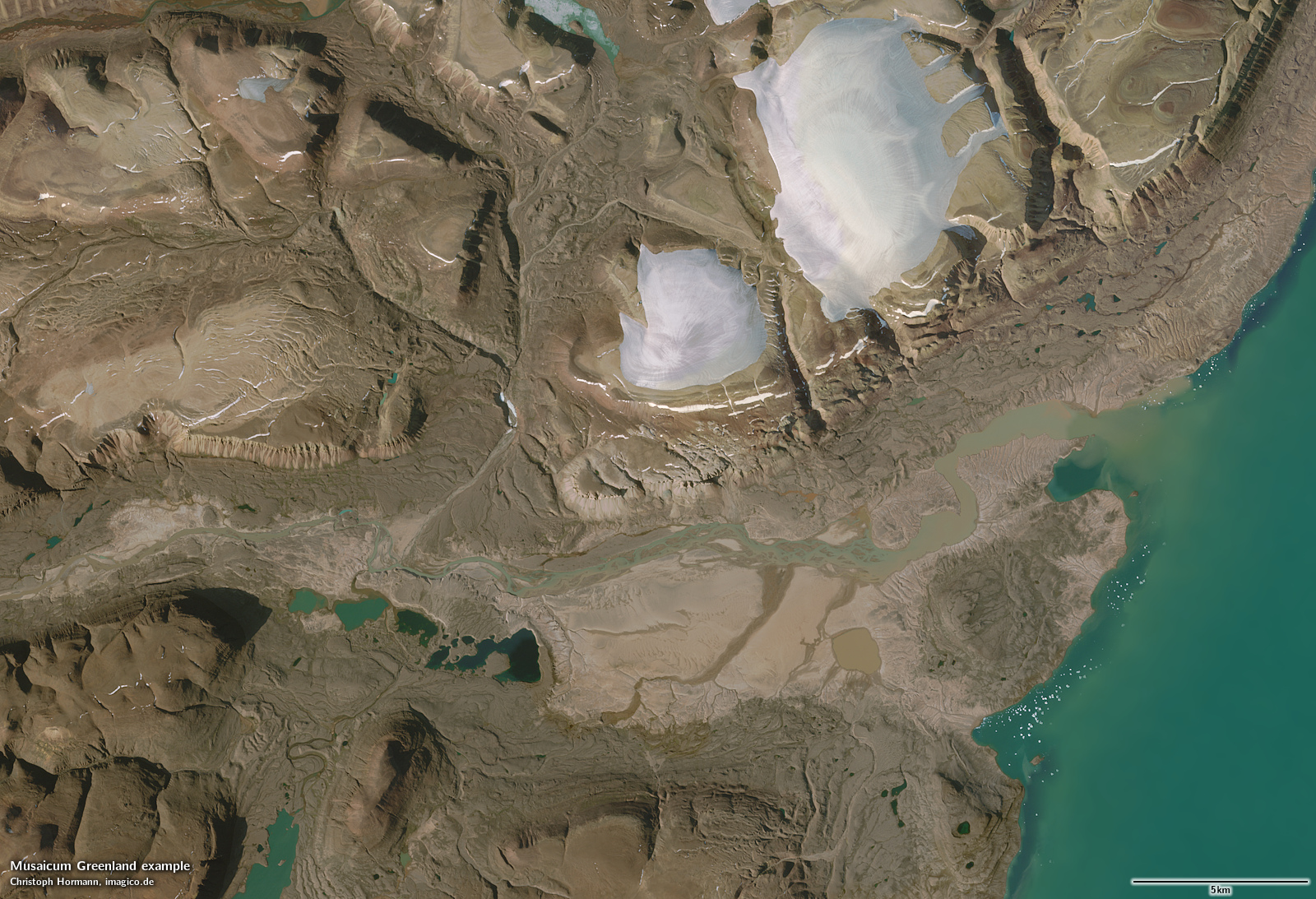
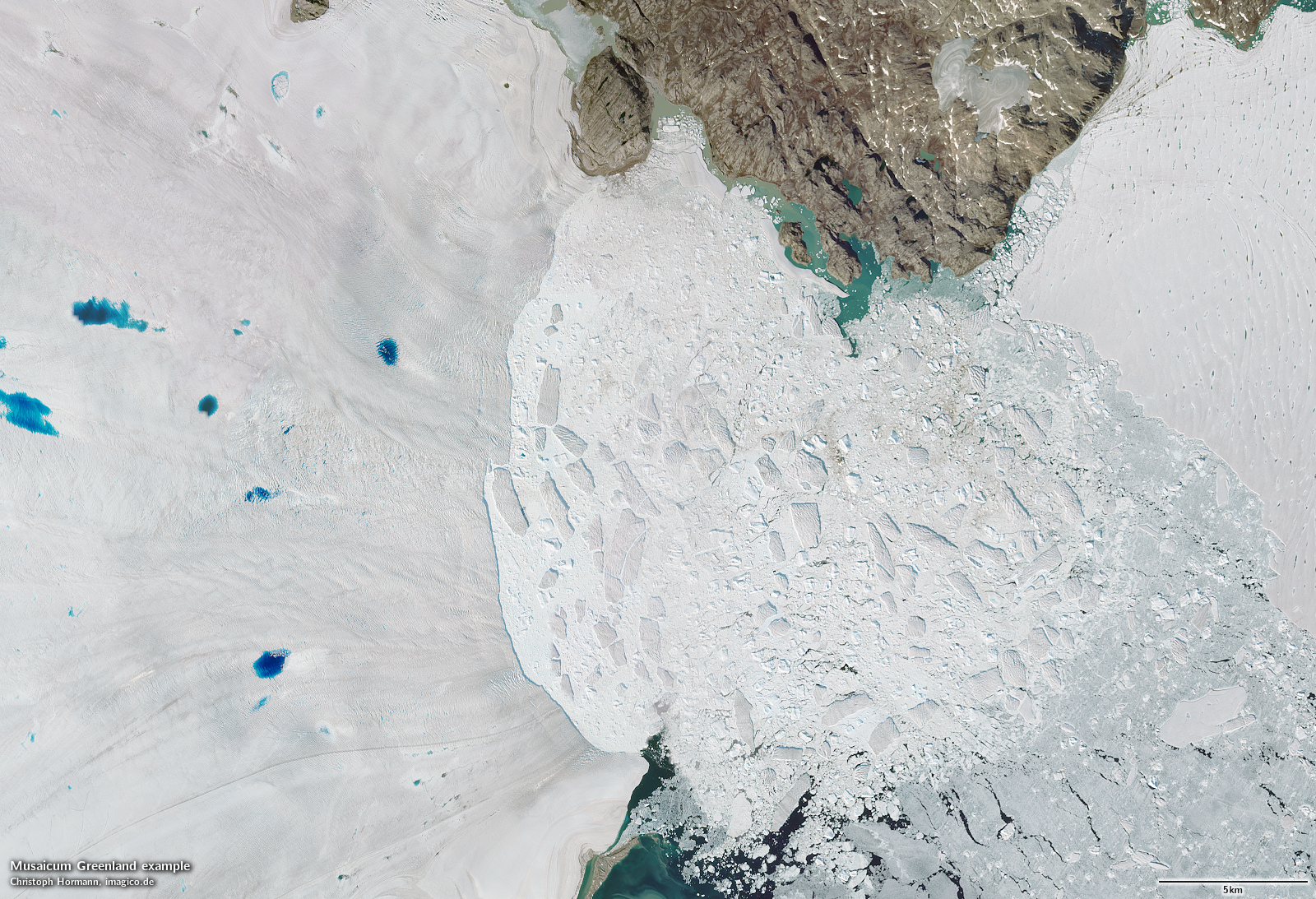
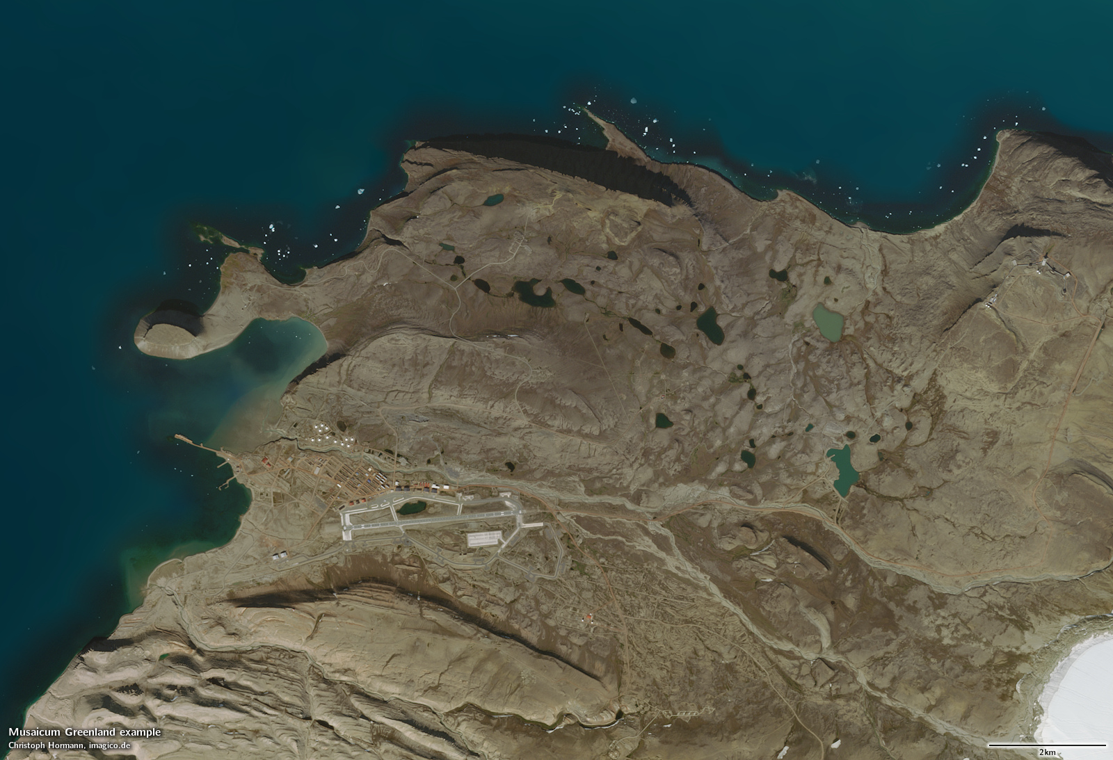
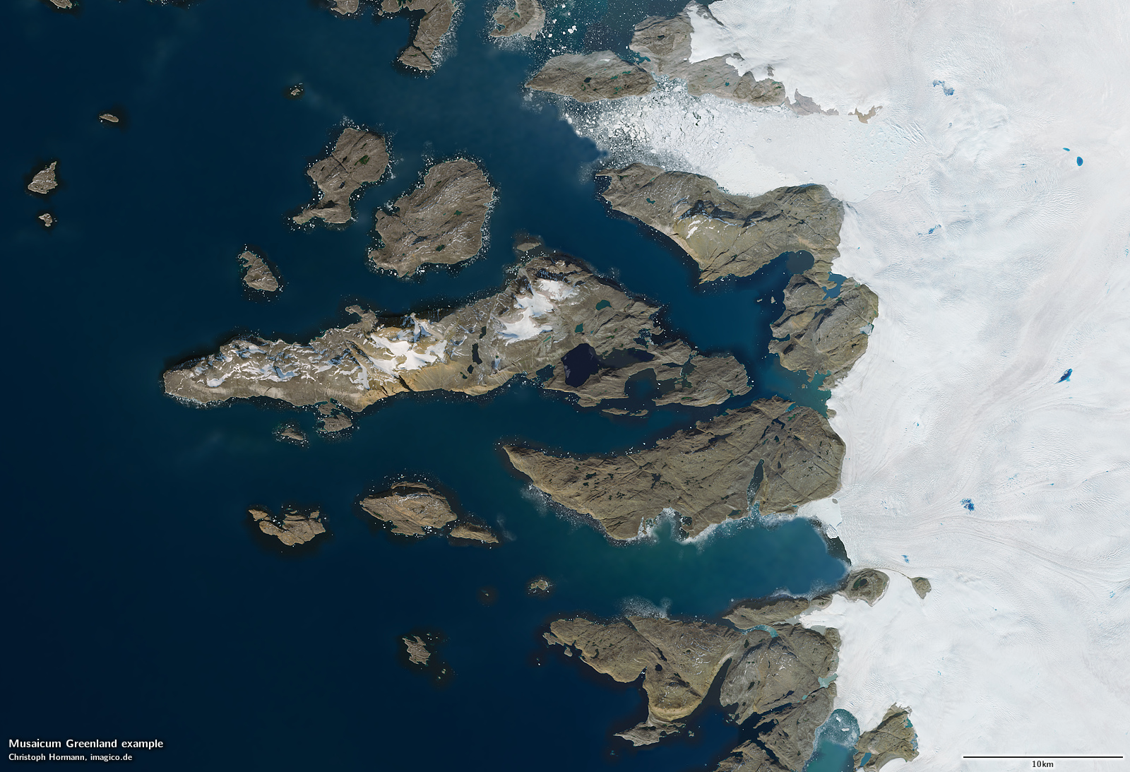
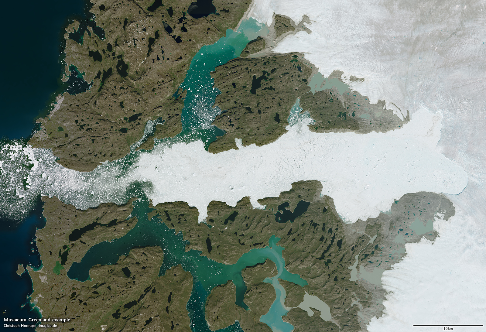
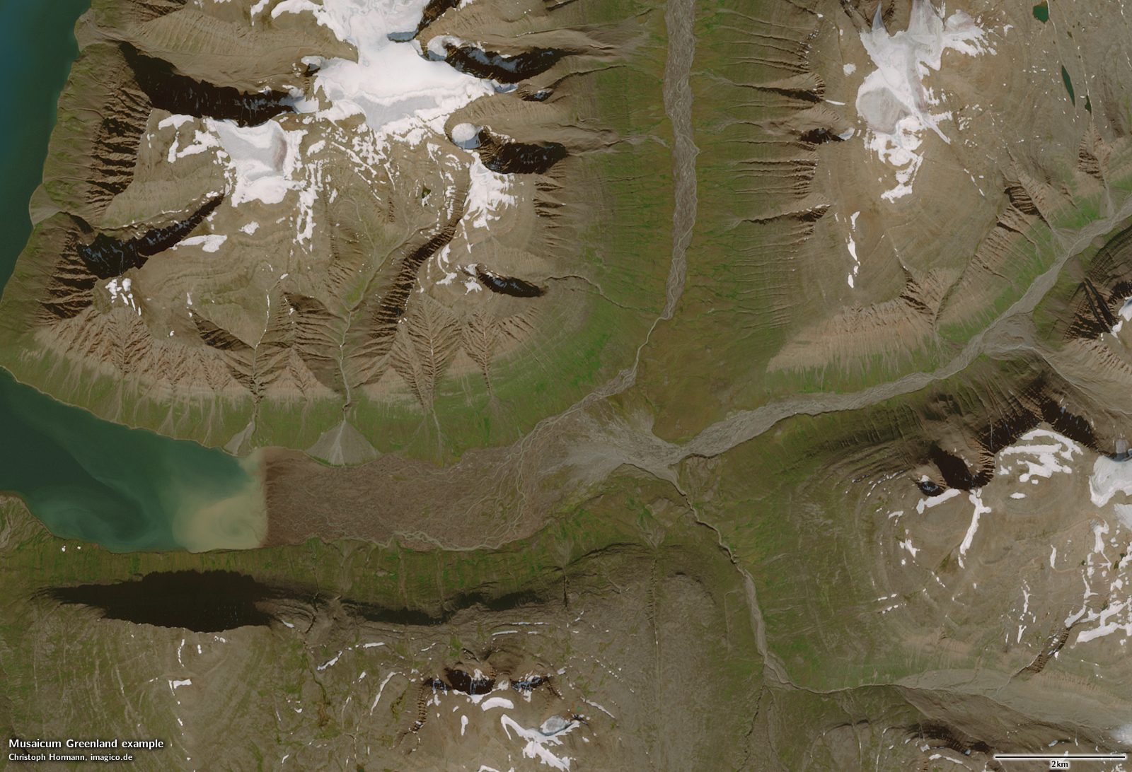
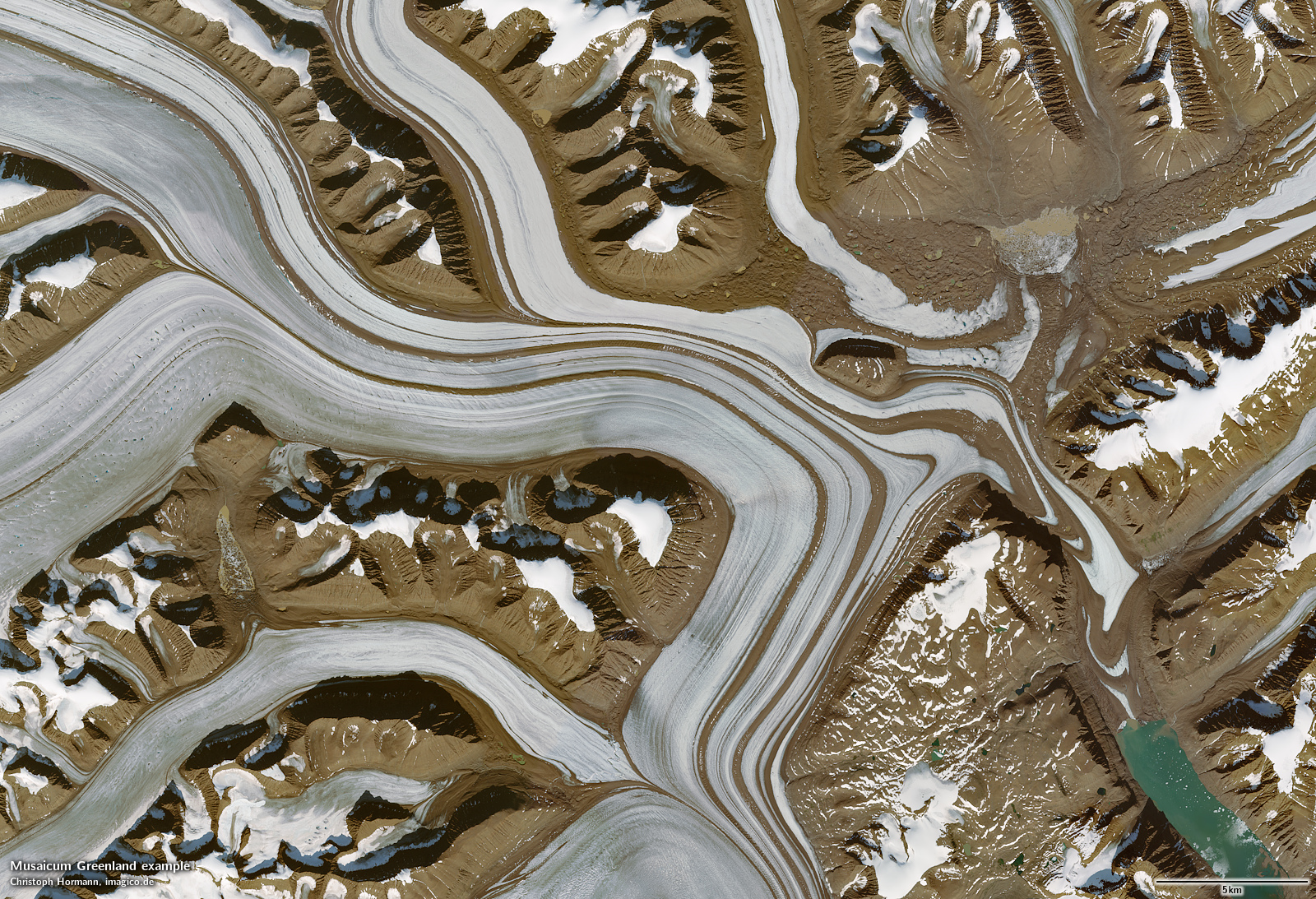
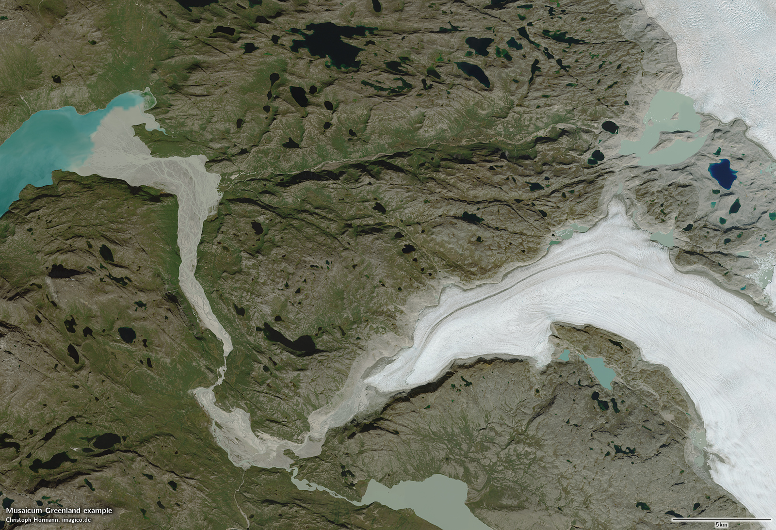
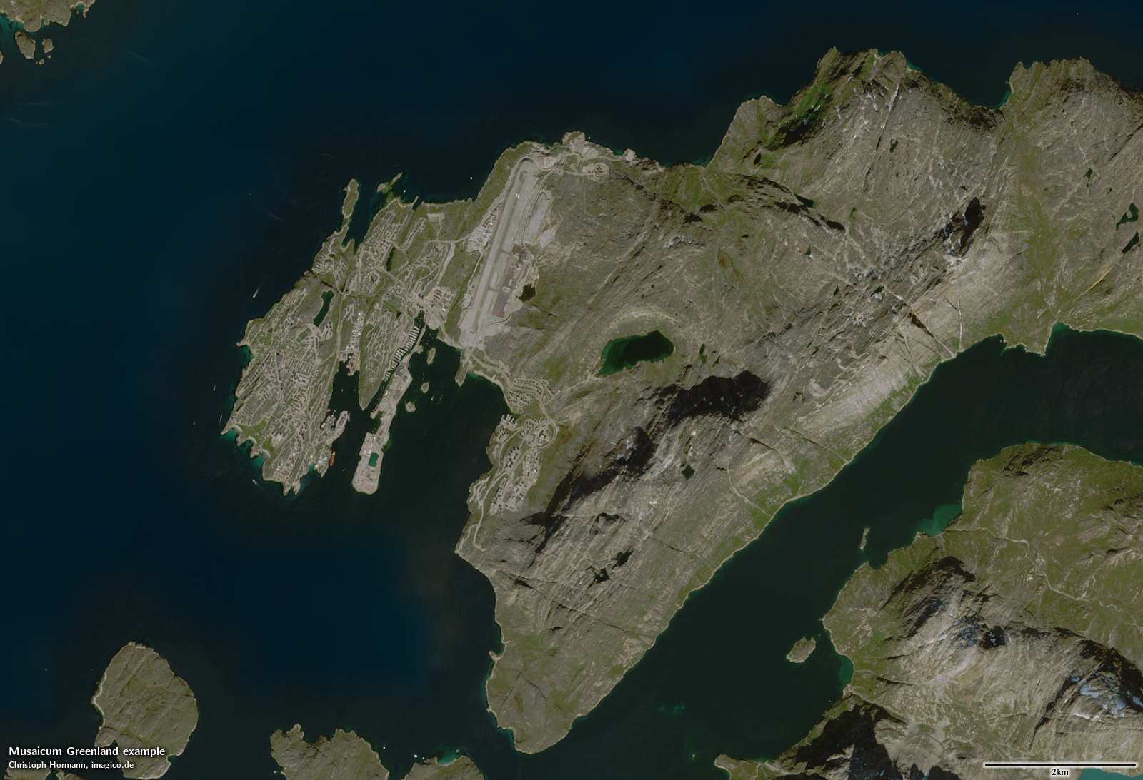
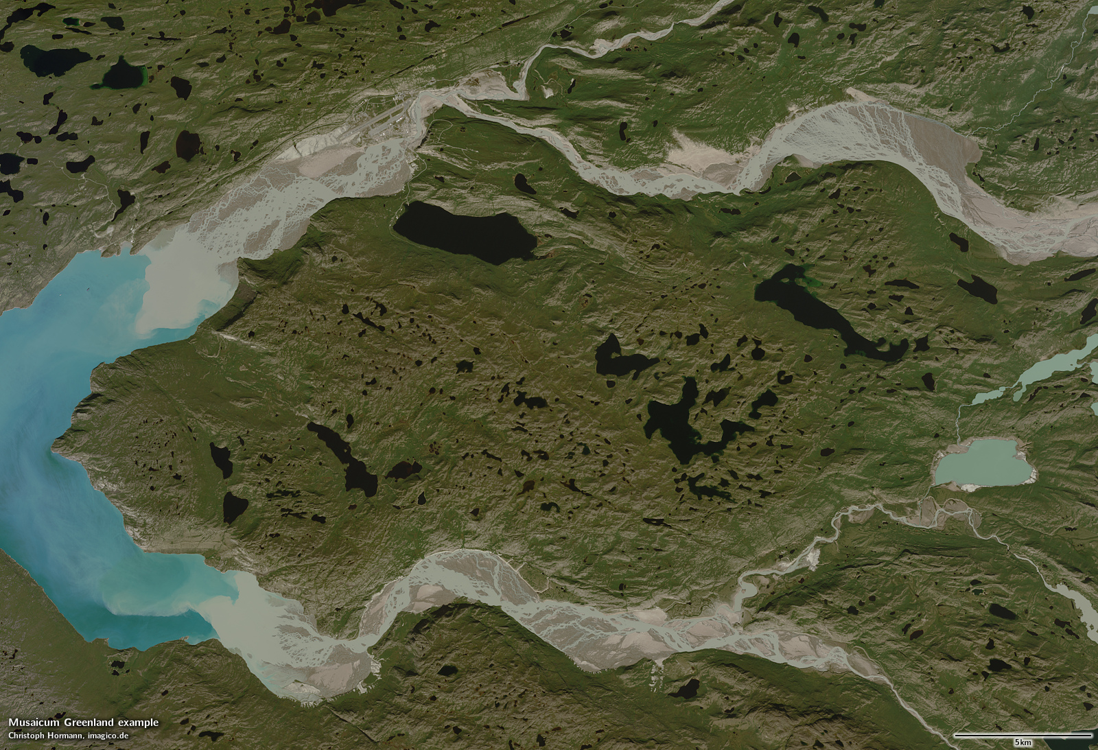
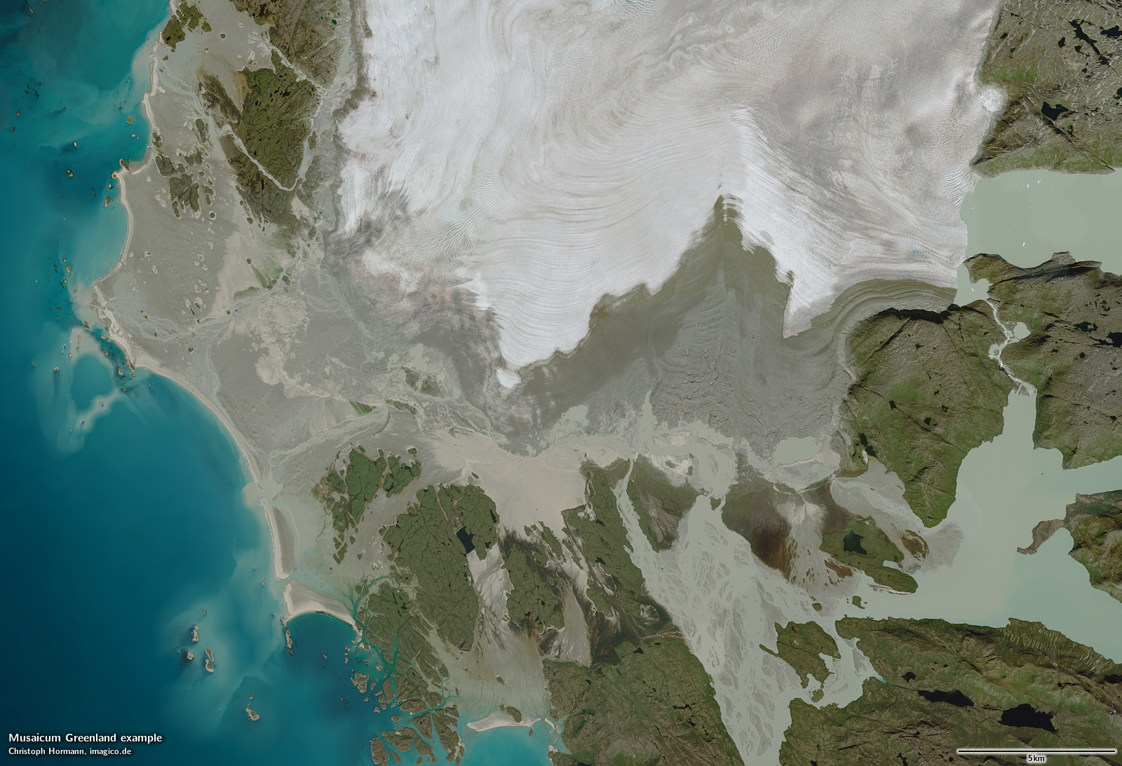
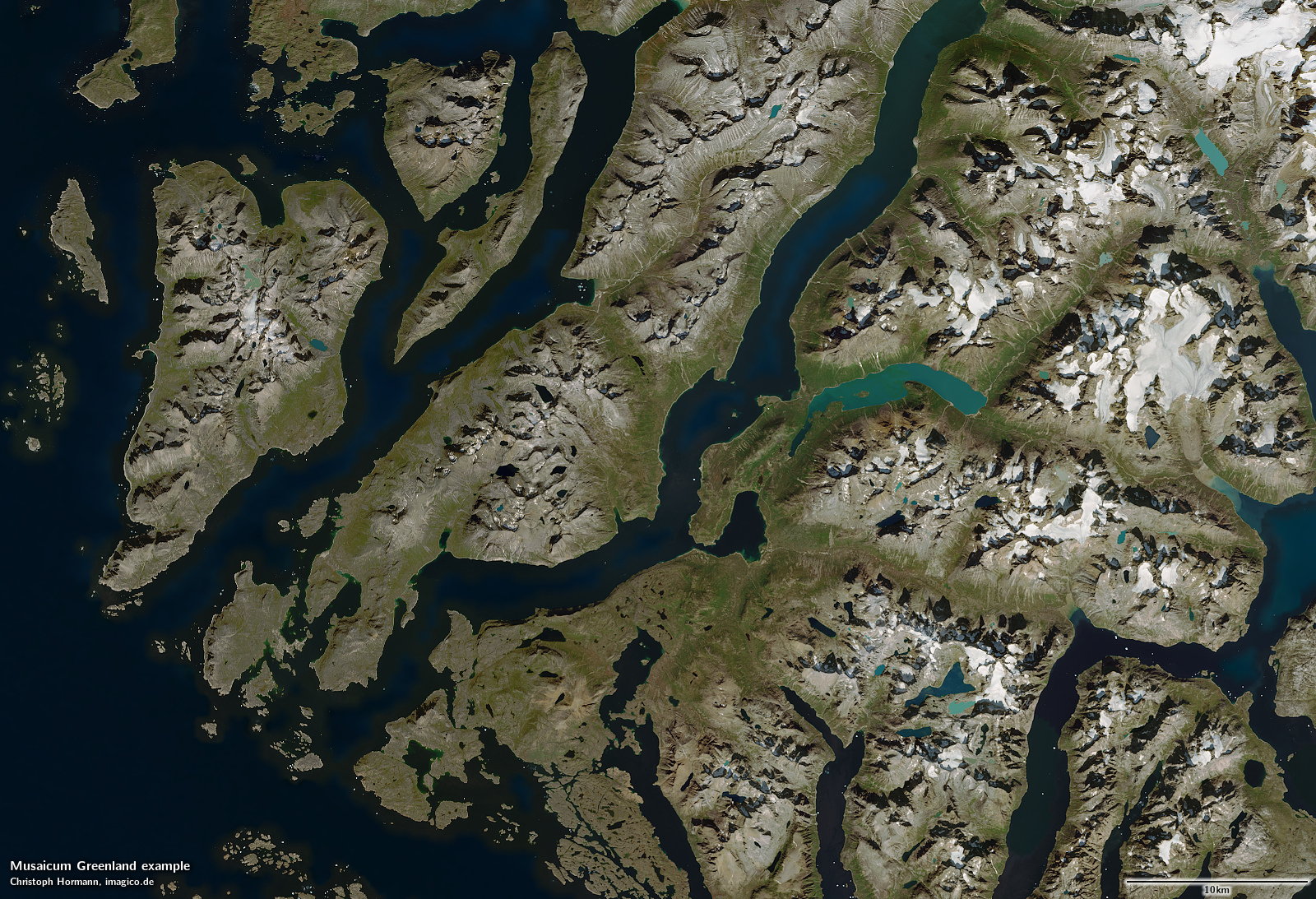
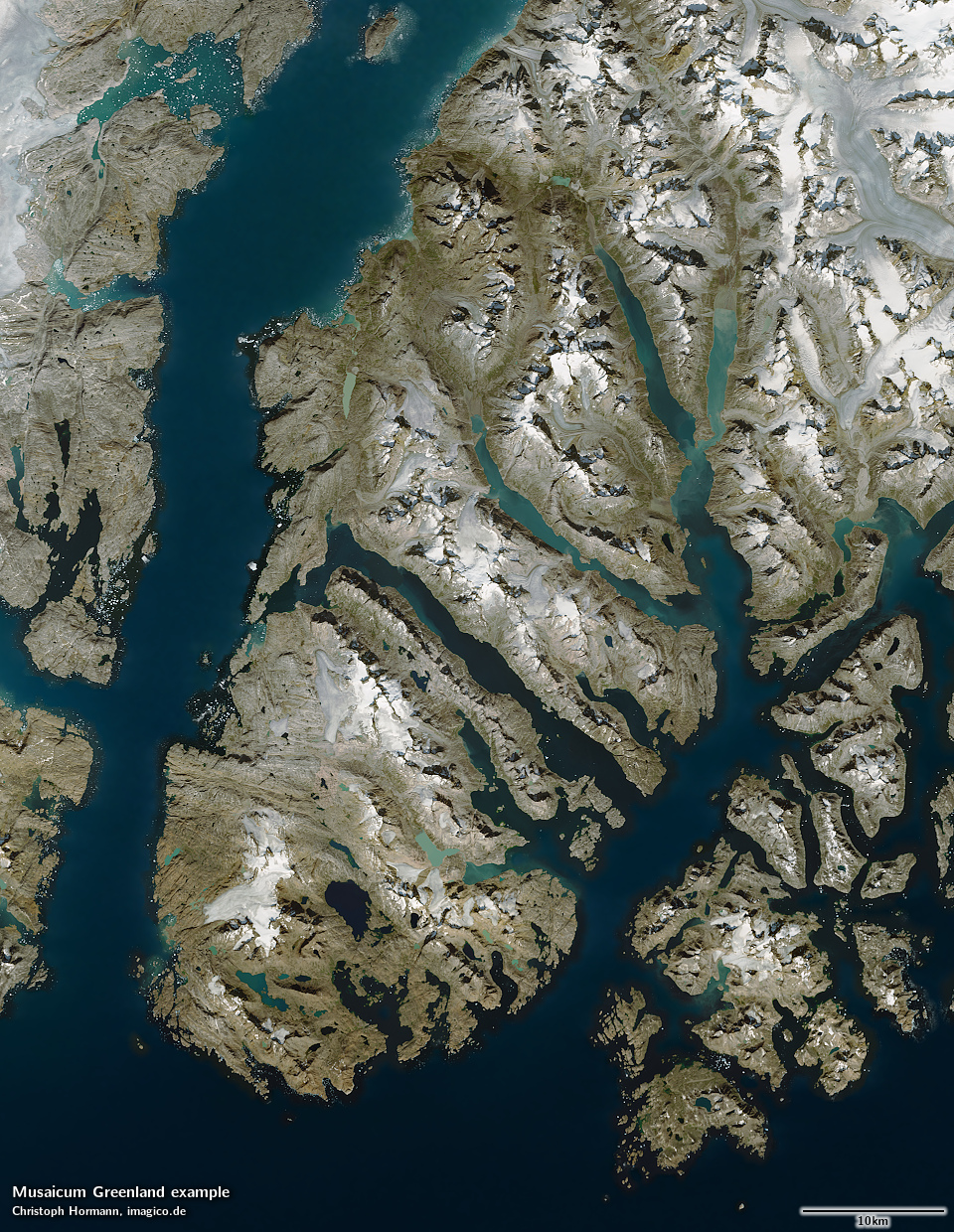
Sample gallery


Musaicum Greenland license inquiry
Blog news:
Todays featured image:
