Imagico.de
The Comprehensive Optical Mosaic of the Antarctic (COMA)
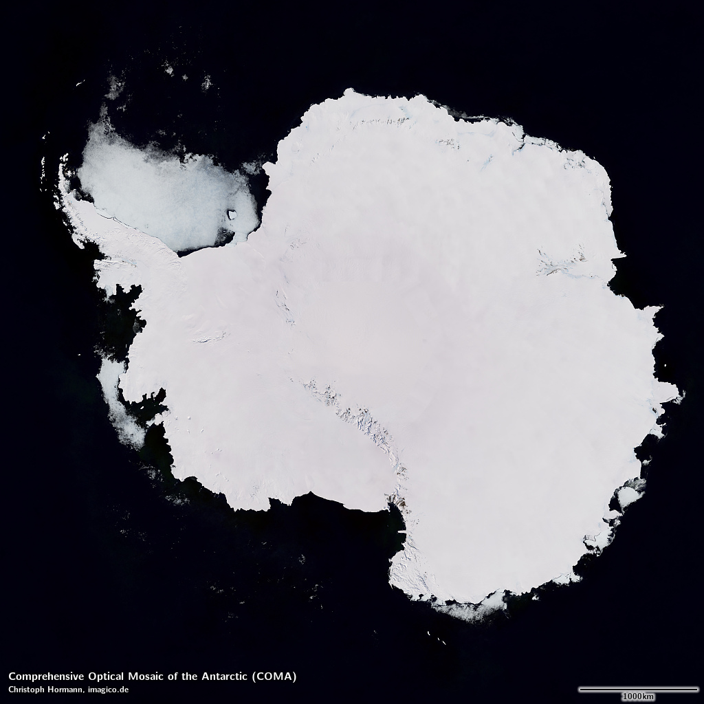
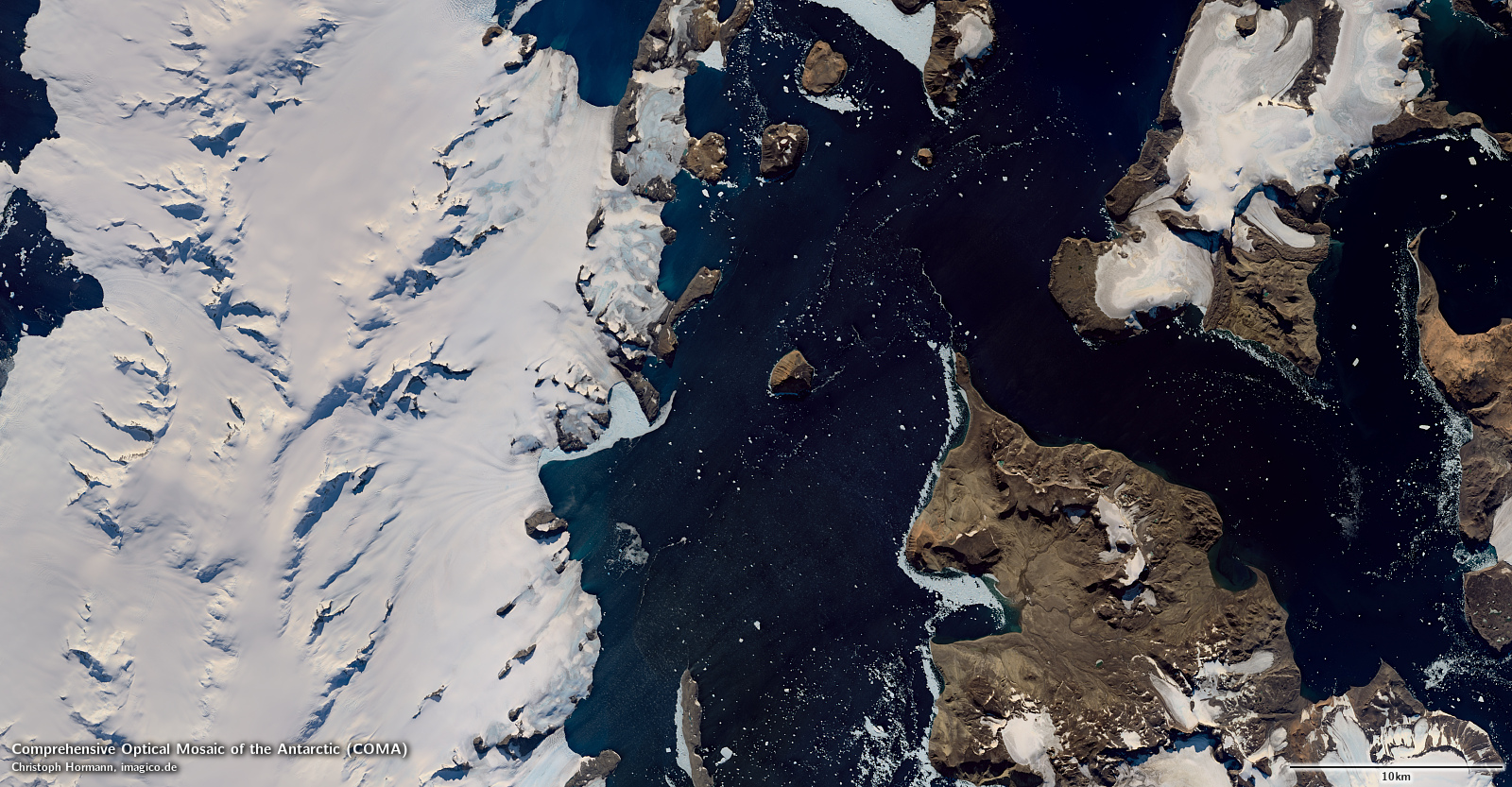
The Comprehensive Optical Mosaic of the Antarctic (COMA) is a visible color mosaic of the Antarctic that provides a comprehensive view of the whole continent including all islands south of 60° southern latitude. It combines recent open data satellite imagery into the most uniform, most consistent and most cloud free depiction of the Antarctic continent available today.
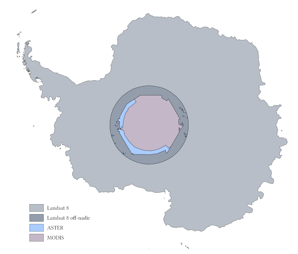
Primary data source is Landsat 8 imagery from 2013 to 2021 - with preference to newer images, in particular at the coast and older imagery predominantly used in the interior where image recording frequencies are lower. Beyond the regular Landsat recording limit at 82.66° latitude this is supplemented by Landsat off-nadir images. Beyond that ASTER data is used - with blue spectral data estimated from green, red and nir spectral bands and through cross-calibration with Landsat images. For the remaining areas not covered by either Landsat or ASTER, MODIS data from 2020 and 2021 is used. All ice free areas north of 85.15° southern latitude are covered in high resolution.
All source images are atmosphere and BRDF compensated and cross calibrated for a uniform overall result. The mosaic is free of clouds on a level of better than 99.99 percent, probably better than 99.999 percent (inverse cloud fraction between >10k and >100k). Great care has been taken to also minimize visible presence of other transient atmosphere effects like snow drift.
In case you would like to read in more detail about this mosaic off-line a product description is available for download and offline reading as well.
Key properties
- Visible color mosaic of the Antarctic
- 15m base resolution, total size 400000×400000 pixel
- Based predominantly on Landsat 8 data from 2013 to 2021, supplemented by ASTER images for areas south of the Landsat recording limit and MODIS data for where neither Landsat nor ASTER images without clouds are available
- Ocean areas away from the coast based on Sentinel-3 data (Green Marble 2.1 water)
- Shows atmosphere compensated surface color, available either as linear surface reflectance values or tone mapped for direct display
- Assembled in polar stereographic projection (EPSG:3031)
Source data distribution
The mosaic is assembled from:
- 5552 regular Landsat 8 scenes from 2013 to 2021
- 347 Landsat 8 off-nadir scenes from 2013 to 2021
- 366 ASTER scenes from 2001 to 2021
- 276 MODIS (Terra) images from 2020 and 2021
Product packaging
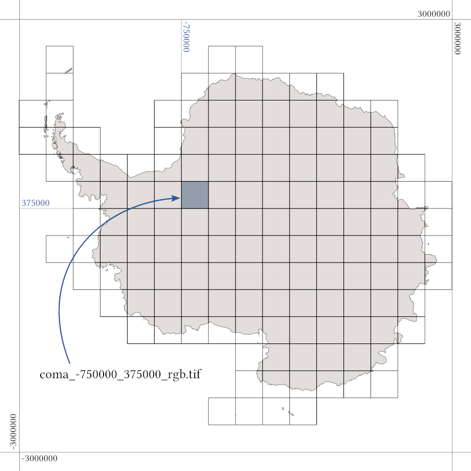
The mosaic is processed and packaged in 16×16 tiles each of a size of 25000×25000 pixel. This covers a 6000×6000km area in polar stereographic projection (EPSG:3031) that includes all land areas south of 60° southern latitude. The following processing variants can be provided:
- Ocean blended mosaic with only the land tiles packaged in 15m resolution delivered together with a low resolution background for the rest of the nominal coverage area. This is the default variant.
- Ocean blended mosaic with 15m grid for the whole nominal coverage area. This means a much larger file size due to the additional upsampled ocean tiles.
- Land only mosaic with the data clipped towards the ocean at the limit of the 15m resolution coverage. This is useful in case you like to combine it with your own ocean depiction.
Tone mapping options
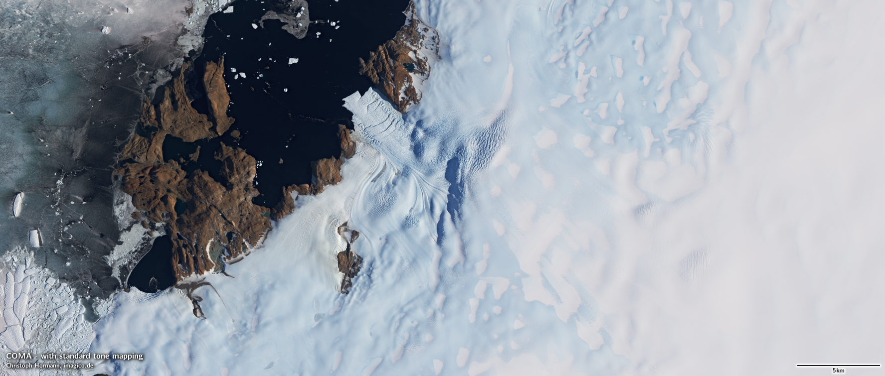
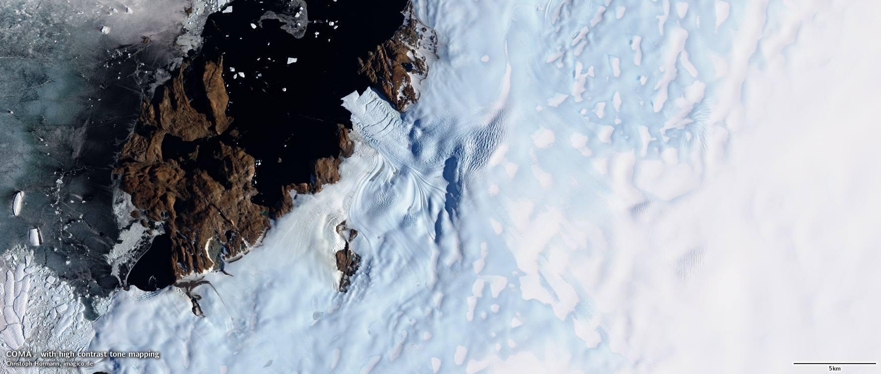
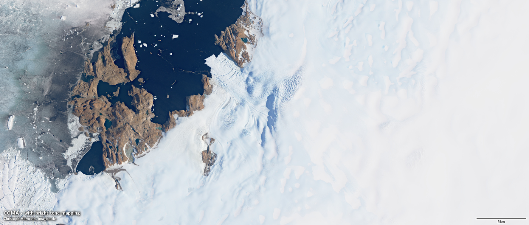
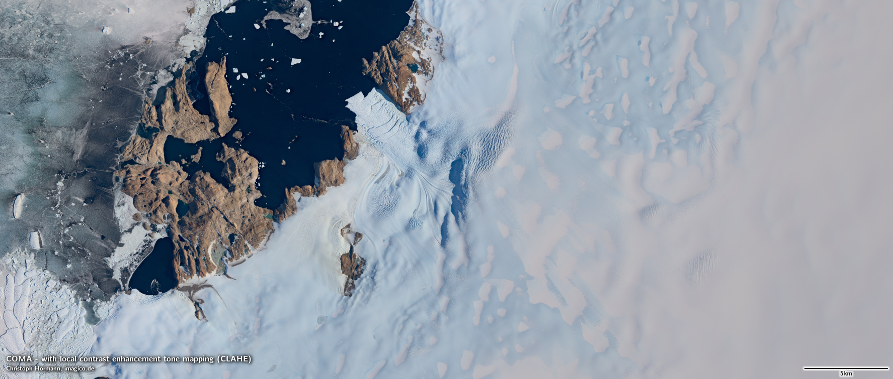
The mosaic is produced and is available as linear surface reflectance values. This can be rendered for display or print in different forms depending on the use case and individual style preferences. The following four tone mapping variants were specifically designed for COMA. Custom modifications are possible as well. The sample area from Lützow-Holm Bay features a large variety of elements including flat, snow covered ice, snow free glaciers, ice free rock areas, sea ice and open water.
- Standard tone mapping is adjusted for good readability both on bright snow and ice and in darker ice free areas and water. Flat snow areas are relatively dark to ensure well articulated rendering of snow covered relief structures.
- High contrast tone mapping with strong colors, bright snow and good depiction of crevasses and other details but very dark shadows and water and poor articulation of subtle undulations of the ice
- Bright tone mapping with emphasis on dark rock areas, shadows and water while strongly compressing bright snow areas
- Local contrast enhanced version using contrast limited adaptive histogram equalization (CLAHE) to emphasize details both in bright and dark parts
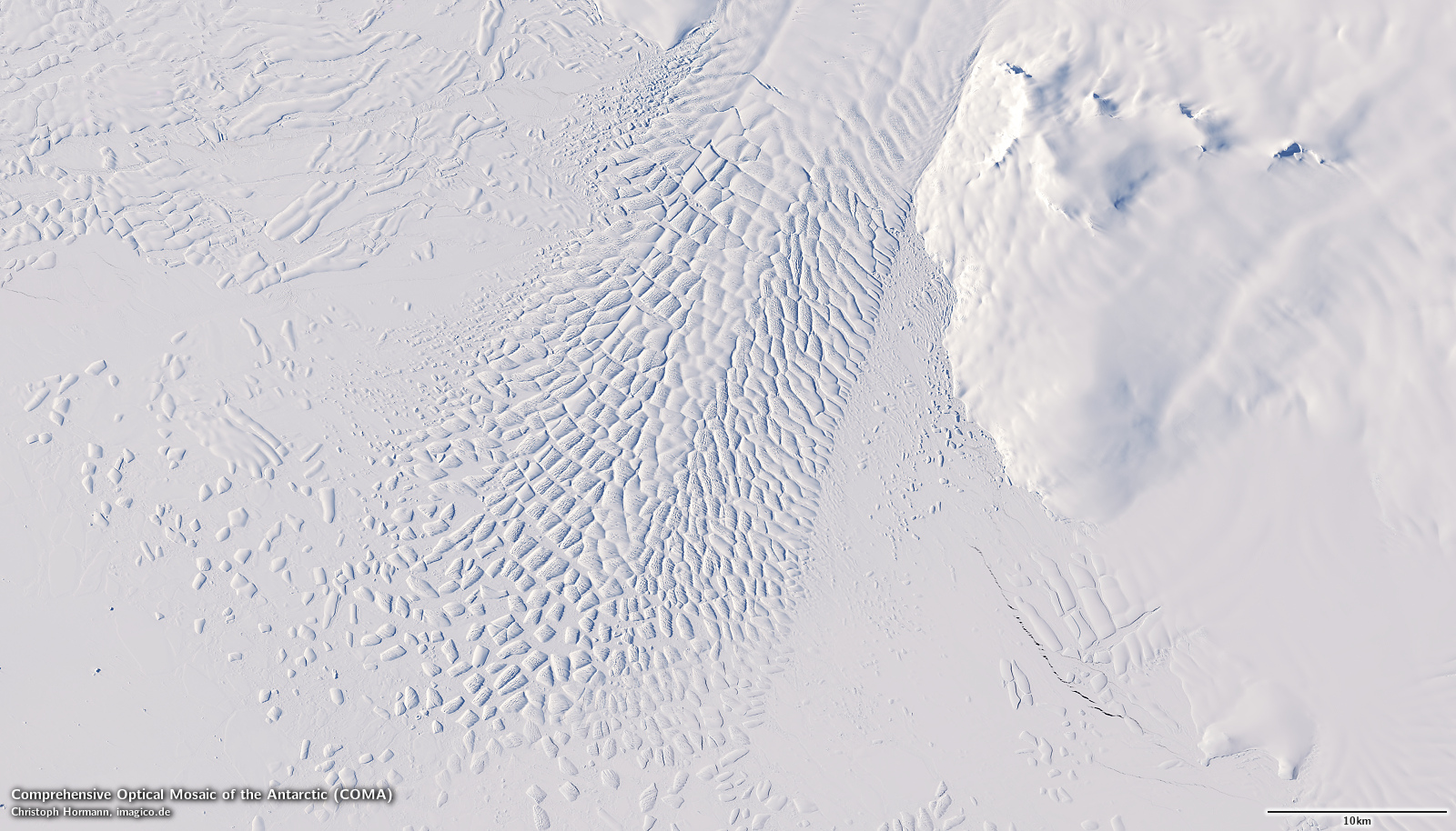
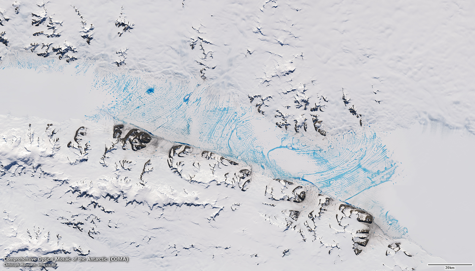
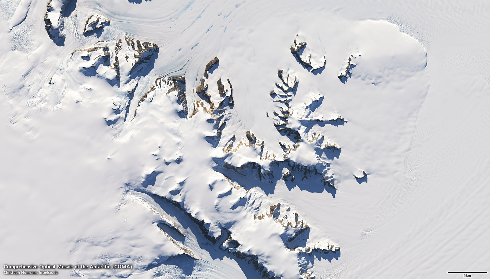
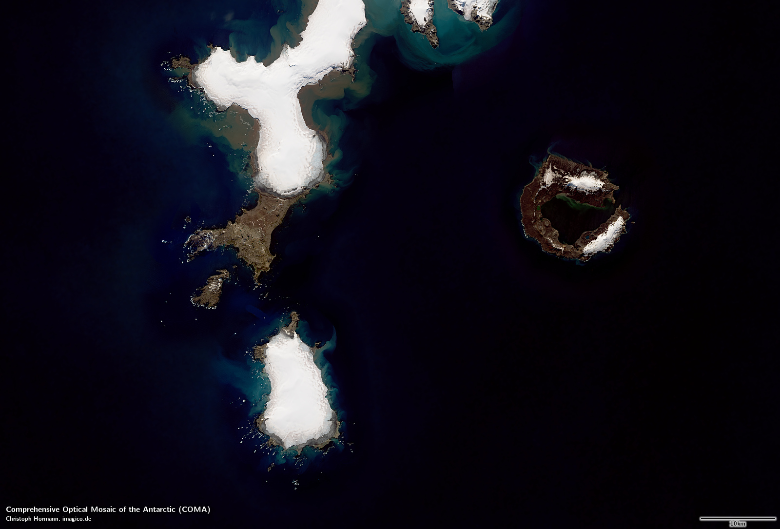
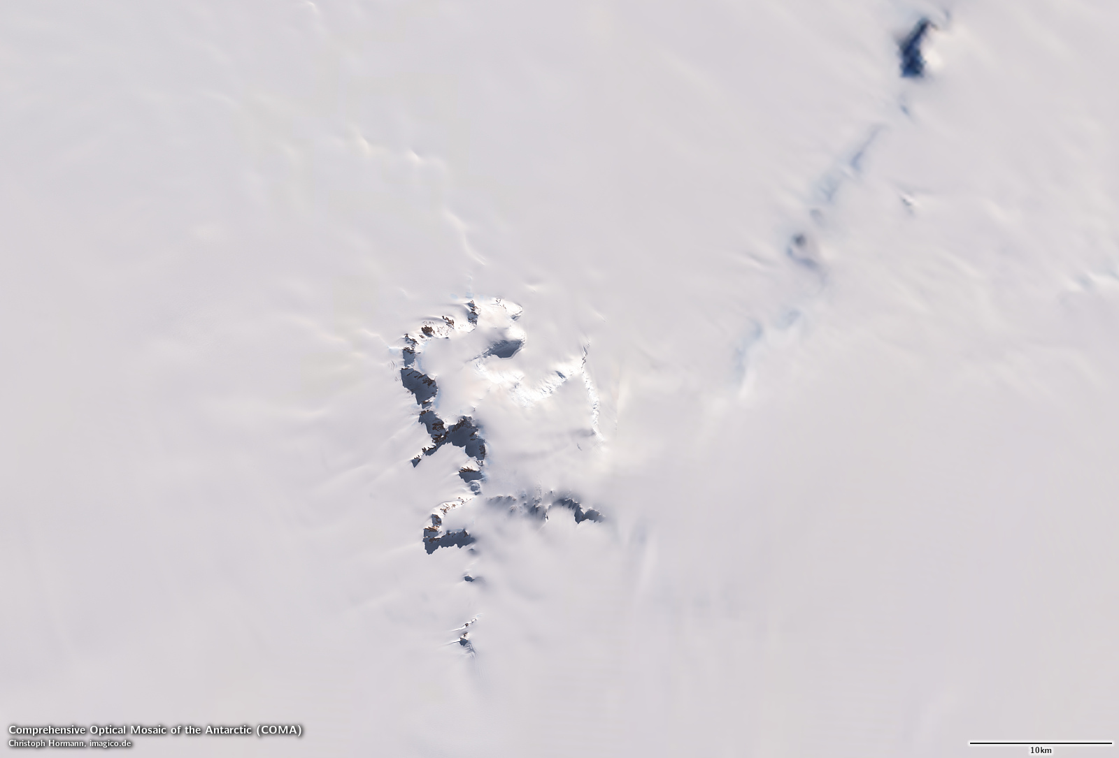
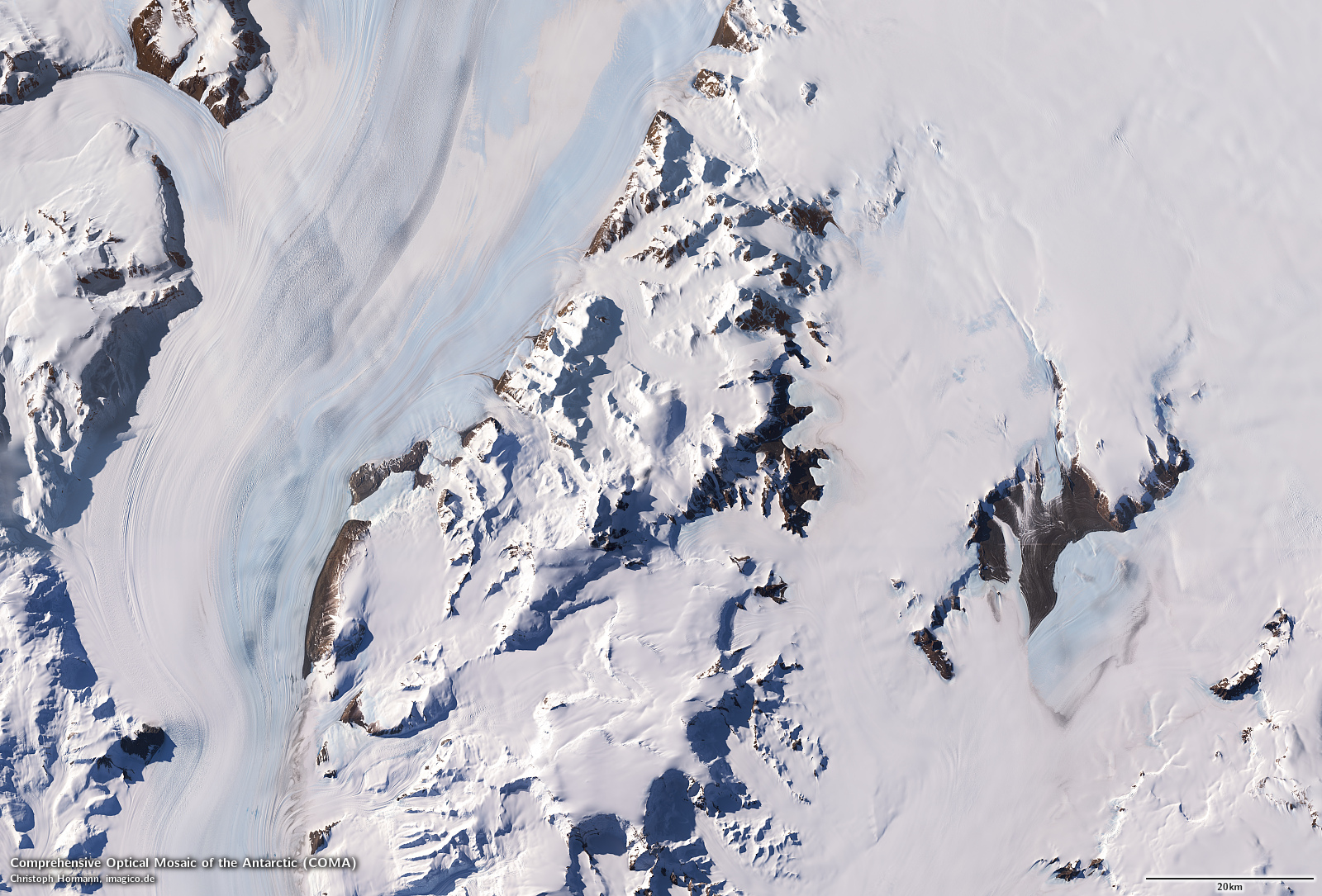
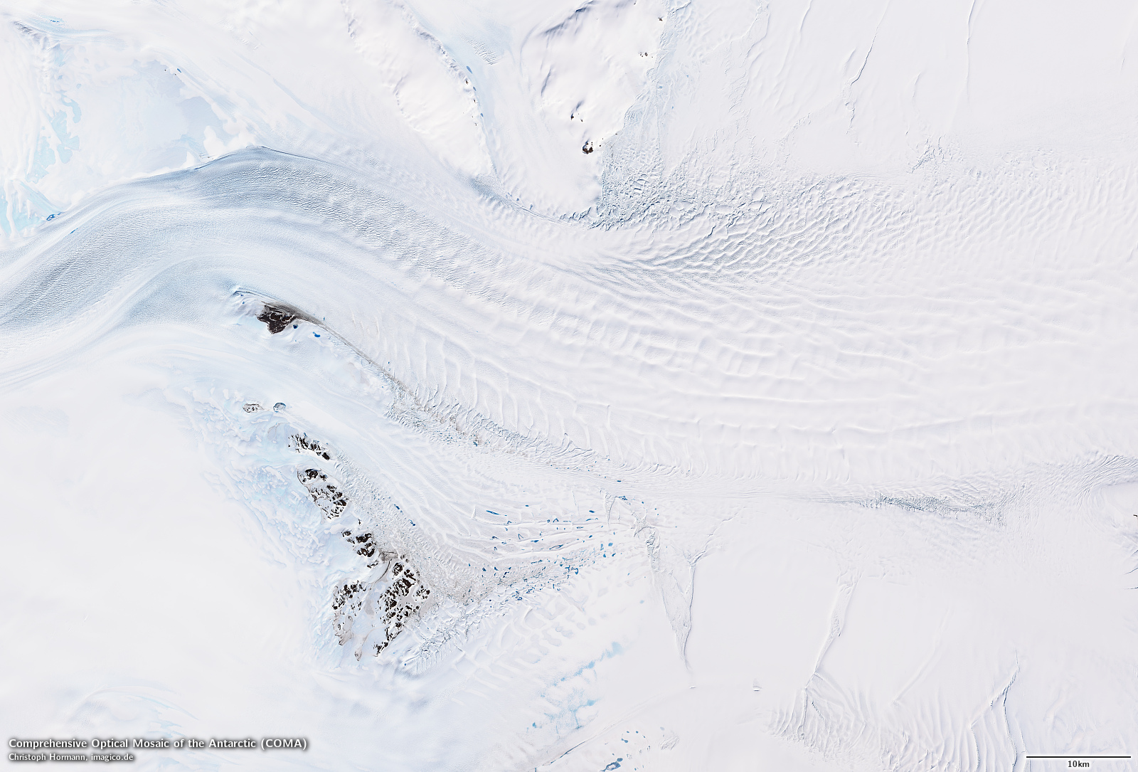
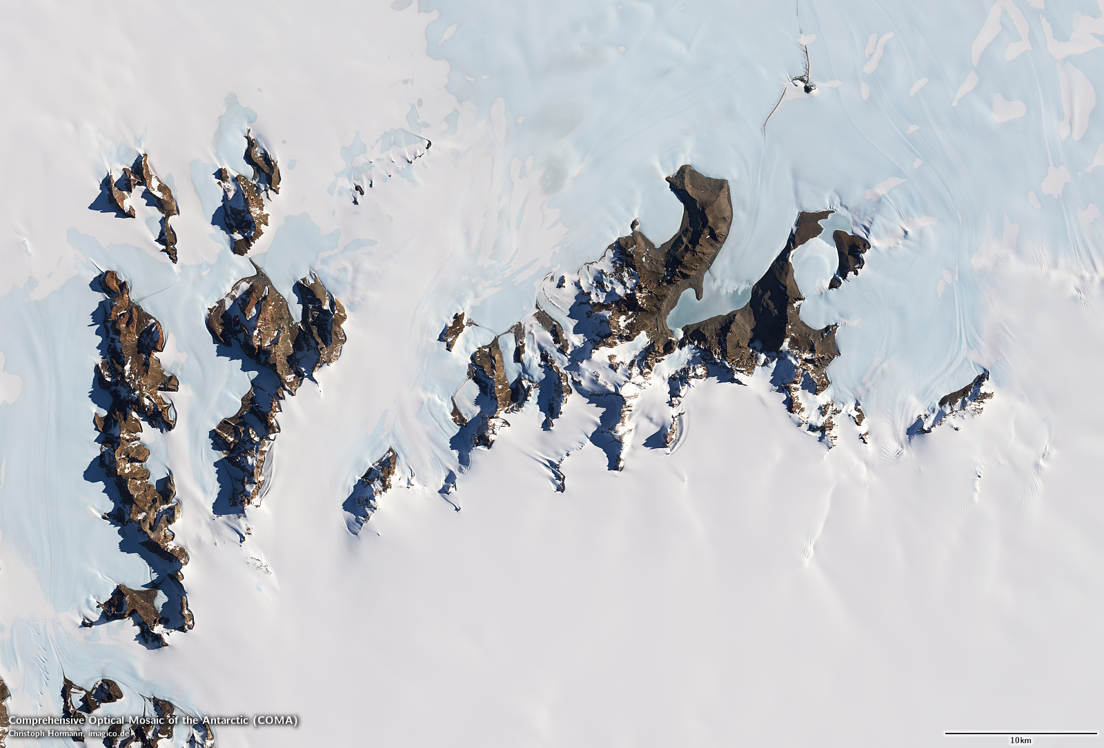
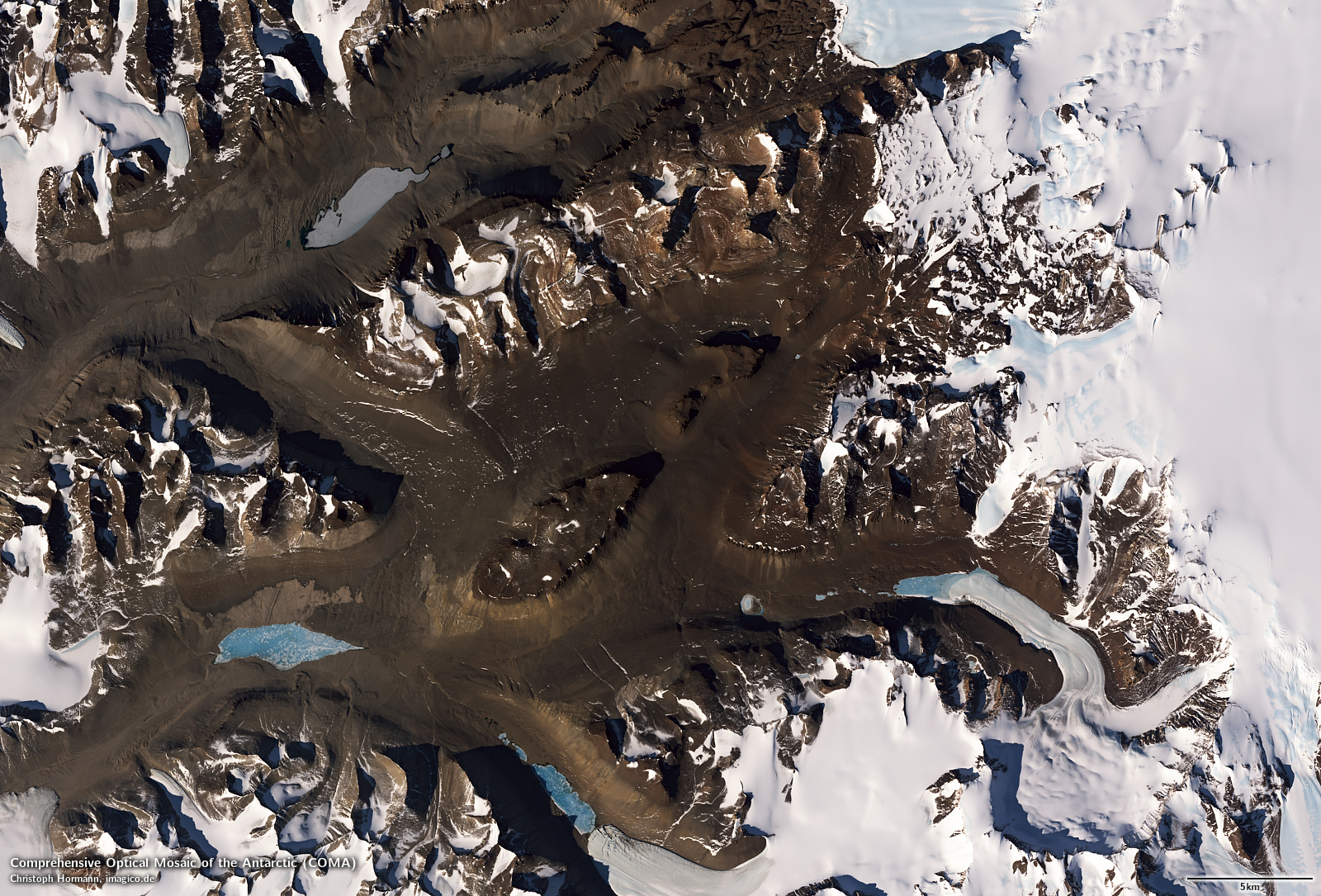
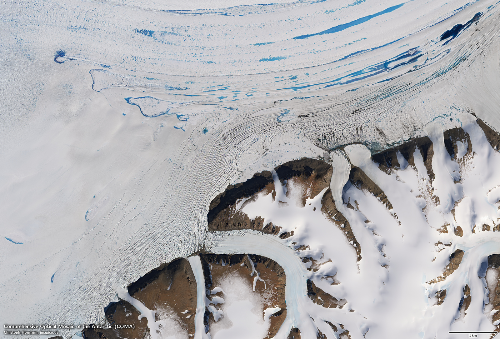
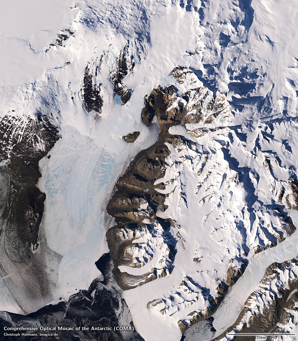
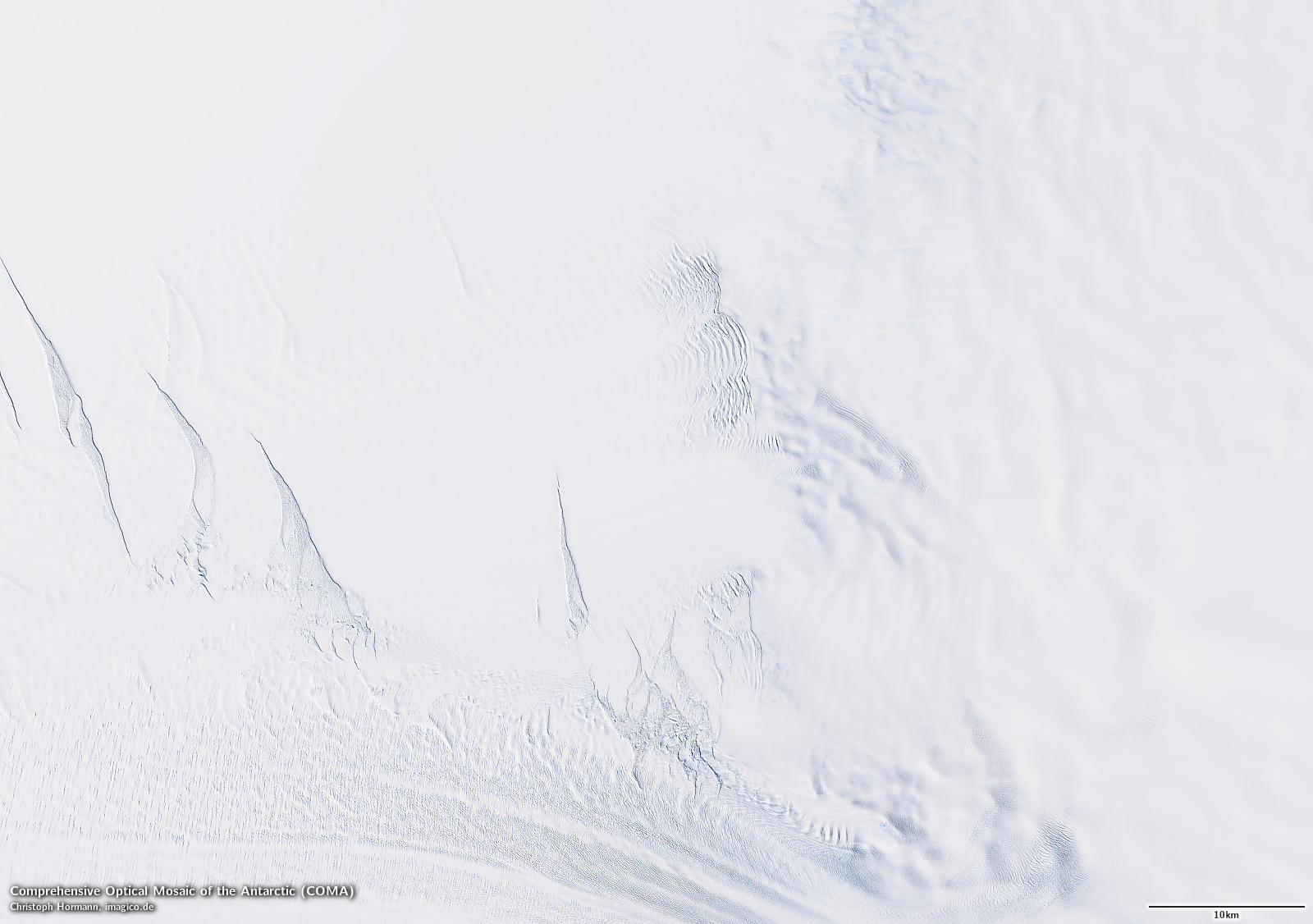
Sample gallery

The Comprehensive Optical Mosaic of the Antarctic (COMA) license inquiry
Blog news:
Todays featured image:
