Imagico.de
Geovisualizations
by Christoph Hormann


Northwest Spitzbergen
View information
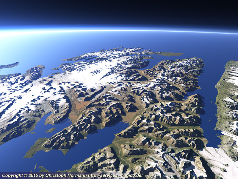
View of the northwest part of the island of Spitzbergen, Svalbard which forms a peninsula separated from the rest of the island by the Isfjorden on the bottom left and the Wijdefjorden on the right. This part of the island is particularly notable for the red sandstone mountains that contrast here with the white of the glaciers and the green coasts of the fjords. Uses data from the Norwegian Polar Institute (CC-By 4.0).
| view data | |
|---|---|
| Location: | 16.693° E, 78.494° N |
| Altitude: | 31.863 km |
| View Direction: | 316° |
| Camera Angle: | 66° |
| Available size: | up to 6400×4800 pixel |
Catalog inquiry - LicensePrint
Blog news:
State of the Map talk and poster (24 Aug 2026)
OpenStreetMap, business interests and capitalism (06 Aug 2026)
Group communication is hard (29 Jul 2026)
Mapping of populated places in OpenStreetMap (28 Jun 2026)
Todays featured image:

The Transantarctic Mountains
Landsat mosaic showing the Transantarctic Mountains between the Nimrod Glacier in the south (top) and McMurdo Sound in the north (bottom). Includes... [more]
The most important sections:

Design and Content Copyright 2026 by Christoph Hormann
last updated Thu, 09 Apr 2026 12:56