Imagico.de
Geovisualizations
by Christoph Hormann


Komsomolets Island
View information
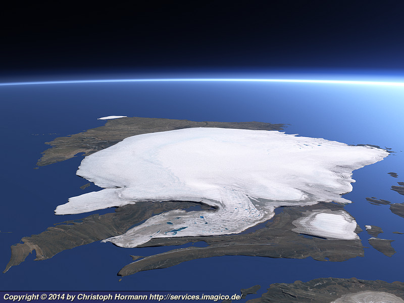
View of Komsomolets Island in Severnaya Zemlya from southwest showing the Academy of Sciences Ice Cap that covers most of the island and the Arctic Cape on the background left.
| view data | |
|---|---|
| Location: | 91.03° E, 79.737° N |
| Altitude: | 31.863 km |
| View Direction: | 42° |
| Camera Angle: | 52° |
| Available size: | up to 5120×3840 pixel |
Catalog inquiry - LicensePrint
Blog news:
The Musaicum East Africa (17 Oct 2026)
The OSMF board elections 2026 (25 Sep 2026)
Communication is hard (24 Sep 2026)
State of the Map 2026 impressions (02 Sep 2026)
Todays featured image:
Severnaya Zemlya in August 2020
Cloud free Sentinel-2 mosaic of Severnaya Zemlya in August 2020 featuring an almost ice free Laptev Sea while there is some drift ice remaining on... [more]
The most important sections:

Design and Content Copyright 2026 by Christoph Hormann
last updated Thu, 09 Apr 2026 12:56