Imagico.de
Geovisualizations
by Christoph Hormann
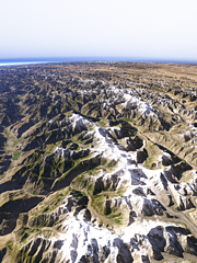
From Karakoam towards Hindu Kush
View information
View from the western end of the Karakoam mountains towards Hindu Kush and Pamir with the Hunza Valley crossing the center of the image
| view data | |
|---|---|
| Location: | 75.044° E, 35.748° N |
| Altitude: | 35.863 km |
| View Direction: | 319.4° |
| Camera Angle: | 64° |
| Available size: | up to 6000×8000 pixel |
Catalog inquiry - LicensePrint
Blog news:
Styleinfo update and AC-Style in Taginfo (10 Dec 2025)
WeeklyOSM, volunteer appreciation and motivation (25 Nov 2025)
Contemplations from the Karlsruhe Hack Weekend (19 Nov 2025)
The Musaicum East Asia (05 Nov 2025)
Todays featured image:

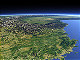
The French Alps and the Provence
View of southeast France with the Provence, the Côte d'Azur and Western Alps and the Po basin in the background. [more]
The most important sections:
Design and Content Copyright 2025 by Christoph Hormann
last updated Sat, 24 May 2025 15:24
